Monceaux-sur-Dordogne / Castrum Mulcedonum / Molseon / Monceaulx / Moulceo
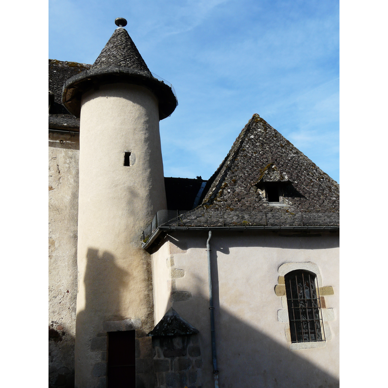
Image copyright © Père Igor, 2015
CC-BY-SA-4.0
Results: 3 records
view of church exterior - tower
Copyright Statement: Image copyright © Père Igor, 2015
Image Source: digital photograph taken 21 June 2015 by Père Igor [https://commons.wikimedia.org/wiki/File:Monceaux-sur-Dordogne_église_tour.JPG] [accessed 25 February 2017]
Copyright Instructions: CC-BY-SA-4.0
view of church exterior - northwest view
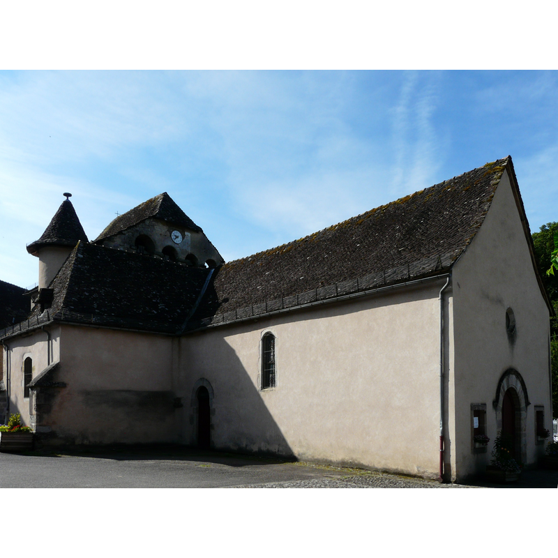
Copyright Statement: Image copyright © Père Igor, 2015
Image Source: digital photograph taken 21 June 2015 by Père Igor [https://commons.wikimedia.org/wiki/File:Monceaux-sur-Dordogne_église_(1).JPG] [accessed 25 February 2017]
Copyright Instructions: CC-BY-SA-4.0
view of church interior - nave - looking east
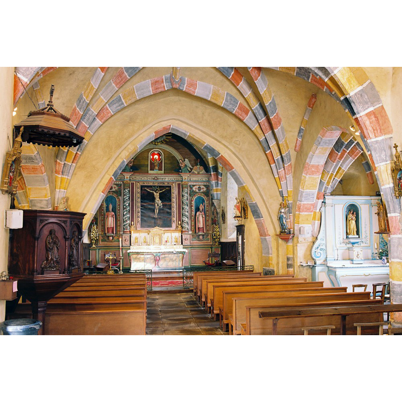
Copyright Statement: Image copyright © Eglises de Corrèze, 2017
Image Source: digital photograph taken by Jean-François Amelot, in Eglises de Corrèze [http://eglises.de.correze.online.fr/] [accessed 25 February 2017]
Copyright Instructions: No known copyright restriction / Fair Dealing
INFORMATION
Font ID: 21026MON
Object Type: Baptismal Font1
Font Century and Period/Style: 12th century, Romanesque
Church / Chapel Name: Église paroissiale Saint-Martin
Font Location in Church: [disappeared]
Church Patron Saint(s): St. Martin of Tours
Church Notes: 12thC church
Church Address: 19400 Monceaux-sur-Dordogne, France
Site Location: Corrèze, Nouvelle-Aquitaine, France, Europe
Directions to Site: Located off the D12 and the D12E2, S of Neuville, N of Reygade, SW of Argentat
Ecclesiastic Region: Diocèse de Tulle [ancien diocèse de Limoges]
Historical Region: Limousin
Font Notes:
Click to view
[NB: we have no information on the font of the 12th-century church here]
COORDINATES
UTM: 31T 414080 4992607
Latitude & Longitude (Decimal): 45.081709, 1.908305
Latitude & Longitude (DMS): 45° 4′ 54.15″ N, 1° 54′ 29.9″ E