Latronche / La Tronça / La Tronche
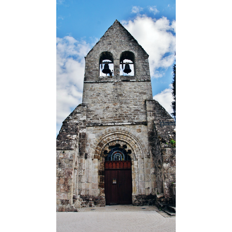
Image copyright © Bastien.pierre, 2015
CC-BY-SA-4.0
Results: 3 records
view of church exterior - west façade
Copyright Statement: Image copyright © Bastien.pierre, 2015
Image Source: digital photograph taken 25 September 2015 by Bastien.pierre [https://commons.wikimedia.org/wiki/File:005_Latronche_(_19160_).JPG] [accessed 18 February 2017]
Copyright Instructions: CC-BY-SA-4.0
view of church exterior in context - southwest view
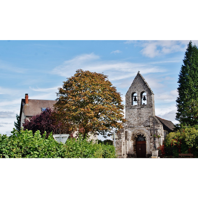
Copyright Statement: Image copyright © Bastien.pierre, 2015
Image Source: digital photograph taken 25 September 2015 by Bastien.pierre [https://commons.wikimedia.org/wiki/File:011_Latronche_(_19160_).JPG] [accessed 18 February 2017]
Copyright Instructions: CC-BY-SA-4.0
view of church interior - nave - looking east

Copyright Statement: Image copyright © Eglises de Corrèze, 2017
Image Source: digital photograph taken by Jean-François Amelot, in Eglises de Corrèze
Copyright Instructions: No known copyright restriction / Fair Dealing
INFORMATION
Font ID: 20998LAT
Object Type: Baptismal Font1
Font Century and Period/Style: 12th - 13th century, Romanesque
Church / Chapel Name: Église paroissiale Saint-Pierre-ès-Liens de Latronche
Font Location in Church: [disappeared]
Church Patron Saint(s): St. Peter ad vincula
Church Notes: 12th-13thC church; destroyed; re-built 16thC
Church Address: 3 Le Bourg, 19160 Latronche, France
Site Location: Corrèze, Nouvelle-Aquitaine, France, Europe
Directions to Site: Located off the D55-D166 crossroads, about 15 km NW of Mauriac, 30 km ENE of Tulle
Ecclesiastic Region: Diocèse de Tulle [ancien diocèse de Limoges]
Historical Region: Limousin
Font Notes:
Click to view
[NB: we have no information on the font from the original Romanesque church here].
COORDINATES
UTM: 31T 439572 5015964
Latitude & Longitude (Decimal): 45.294579, 2.229339
Latitude & Longitude (DMS): 45° 17′ 40.48″ N, 2° 13′ 45.62″ E