Gumond / Acutomonte / Gumont
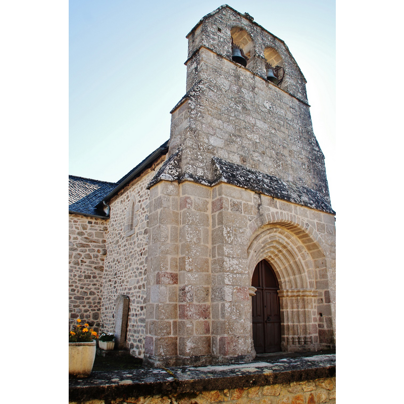
Image copyright © Bastien.pierre, 2015
CC-BY-SA-4.0
Results: 3 records
view of church exterior - northwest end
Copyright Statement: Image copyright © Bastien.pierre, 2015
Image Source: digital photograph taken 21 September 2015 by Bastien.pierre [https://commons.wikimedia.org/wiki/File:032_Gumond_(_19320_).jpg] [accessed 13 February 2017]
Copyright Instructions: CC-BY-SA-4.0
view of church exterior - southwest end
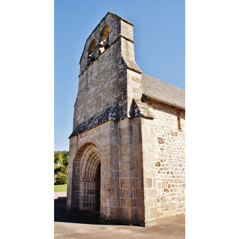
Copyright Statement: Image copyright © Bastien.pierre, 2015
Image Source: digital photograph taken 21 September 2015 by Bastien.pierre [https://commons.wikimedia.org/wiki/File:013_Gumond_(_19320_).jpg] [accessed 13 February 2017]
Copyright Instructions: CC-BY-SA-4.0
view of church exterior - southeast view
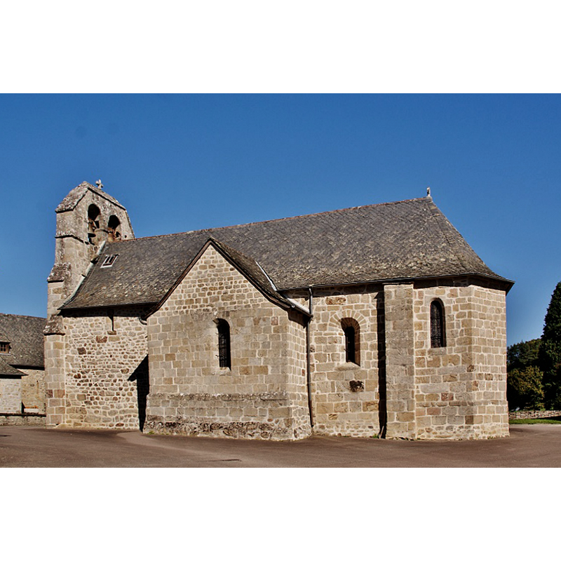
Copyright Statement: Image copyright © Bastien.pierre, 2015
Image Source: digital photograph taken 21 September 2015 by Bastien.pierre [https://commons.wikimedia.org/wiki/File:018_Gumond_(_19320_).jpg] [accessed 13 February 2017]
Copyright Instructions: CC-BY-SA-4.0
INFORMATION
Font ID: 20971GUM
Object Type: Baptismal Font1?
Font Century and Period/Style: 10th century (?), Medieval
Church / Chapel Name: Église paroissiale Saint-Pierre-ès-Liens de Gumond
Font Location in Church: [disappeared]
Church Patron Saint(s): St. Peter ad vincula
Church Notes: there appears to have been a church in Gumond since 930, when it was donated to the Abbye de Tulle; present church 13thC; restored 18thC
Church Address: D131, 19320 Gumond, France
Site Location: Corrèze, Nouvelle-Aquitaine, France, Europe
Directions to Site: Located off the D131, 4 km S of Saint-Pardoux-la-Croisille, about 16 km ESE of Tulle
Ecclesiastic Region: Diocèse de Tulle [ancien diocèse de Limoges]
Historical Region: Limousin
Additional Comments: disappeared font? (the one from the 10thC church here)
Font Notes:
Click to view
[NB: we have no information on the font of the 19thC church here].
COORDINATES
UTM: 31T 419770 5007892
Latitude & Longitude (Decimal): 45.219943, 1.978135
Latitude & Longitude (DMS): 45° 13′ 11.8″ N, 1° 58′ 41.29″ E