Puy-l'Eveque / Pèg l'Avesque / Puy-l'Evêque / Puy-Libre / Puy-sur-Lot
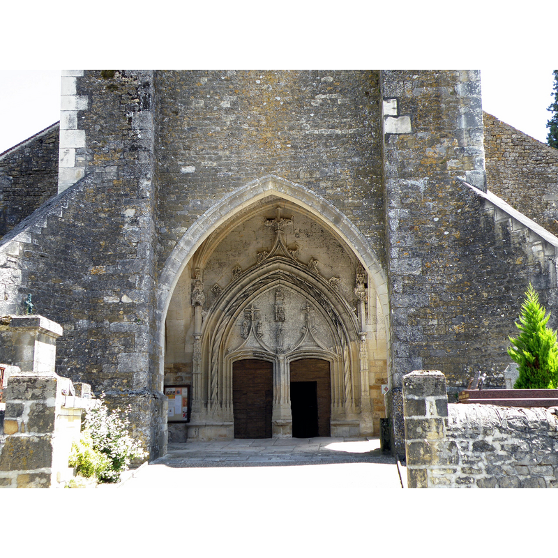
Image copyright © [in the public domain]
PD-self
Results: 3 records
view of church exterior - west porch and portal
Scene Description: Source caption: "Église Saint-Sauveur, XIVe et XVe siècles. Porche sous le clocher occidental, portail à double porte d'entrée."
Copyright Statement: Image copyright © [in the public domain]
Image Source: digital photograph taken 15 July 2010 by Torsade de Pointes [https://commons.wikimedia.org/wiki/File:Puy-l'Évêque_Église_Saint-Sauveur8.JPG] [accessed 2 February 2017]
Copyright Instructions: PD-self
view of church exterior - southwest view
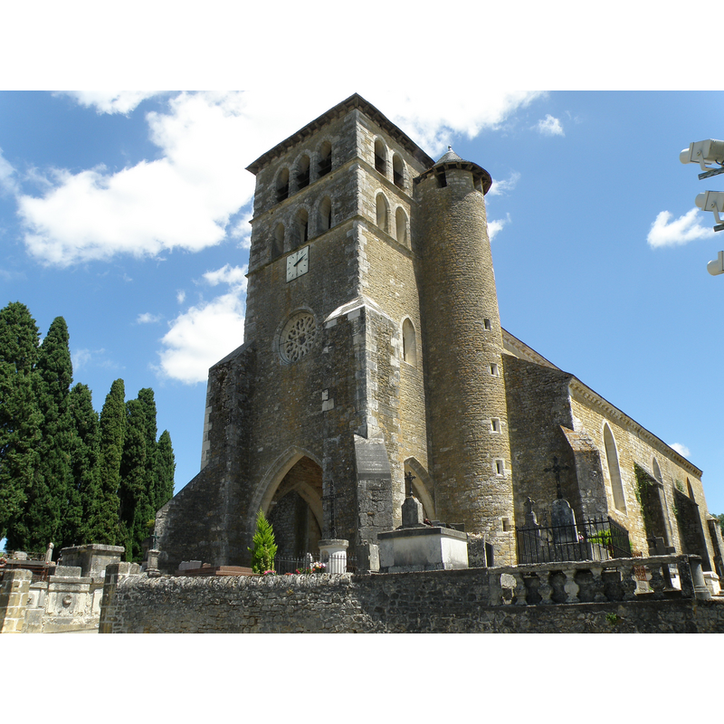
Scene Description: Source caption: "Église Saint-Sauveur, XIVe et XVe siècles. Clocher-porche avec tourelle d'escalier."
Copyright Statement: Image copyright © [in the public domain]
Image Source: digital photograph taken 15 July 2010 by Torsade de Pointes [https://commons.wikimedia.org/wiki/File:Puy-l'Évêque_Église_Saint-Sauveur5.JPG] [accessed 2 February 2017]
Copyright Instructions: PD-self
view of church exterior - south view
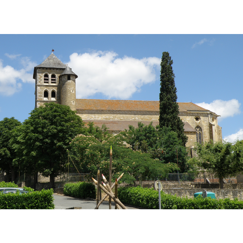
Scene Description: Source caption: "Église Saint-Sauveur, XIVe et XVe siècles. Flanc méridional."
Copyright Statement: Image copyright © [in the public domain]
Image Source: digital photograph taken 15 July 2010 by Torsade de Pointes [https://commons.wikimedia.org/wiki/File:Puy-l'Évêque_Église_Saint-Sauveur1.JPG] [accessed 2 February 2017]
Copyright Instructions: PD-self
INFORMATION
Font ID: 20923PUY
Object Type: Baptismal Font1?
Font Date: ca. 1239?
Font Century and Period/Style: 13th century (early?), Early Gothic
Church / Chapel Name: Église paroissiale Saint-Sauveur [later La Transfiguration]
Font Location in Church: [disappeared]
Church Patron Saint(s): Jesus Christ [later The Transfiguration]
Church Notes: church documented 1239; modified/expanded 14th, 15th, 16th, 19thC -- listed and illustrated in Mérimée [ref.: IA46100077]
Church Address: 46700 Puy-l'Evêque, France
Site Location: Lot, Occitanie, France, Europe
Directions to Site: Located off the D28-D44-D811 crossroads, S of Cassagnes, N of Floressas
Ecclesiastic Region: Diocèse de Cahors
Font Notes:
Click to view
[NB: we have no information on the font of the ca. 1239 church here]
COORDINATES
UTM: 31T 352102 4929648
Latitude & Longitude (Decimal): 44.504992, 1.139547
Latitude & Longitude (DMS): 44° 30′ 17.97″ N, 1° 8′ 22.37″ E