Ardal in Årdalstangen / Aardal / Årdal
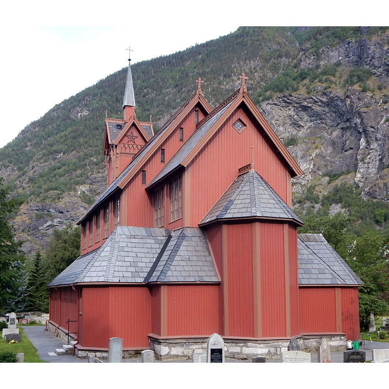
Image copyright © Jan-Tore Egge, 2016
CC-BY-SA-4.0
Results: 3 records
view of church exterior - southeast view
Scene Description: the 1867 church
Copyright Statement: Image copyright © Jan-Tore Egge, 2016
Image Source: digital photograph taken 26 June 2016 by Jan-Tore Egge [https://commons.wikimedia.org/wiki/File:Årdal_kirke_(2016).jpg] [accessed 28 December 2016]
Copyright Instructions: CC-BY-SA-4.0
view of church exterior - west view
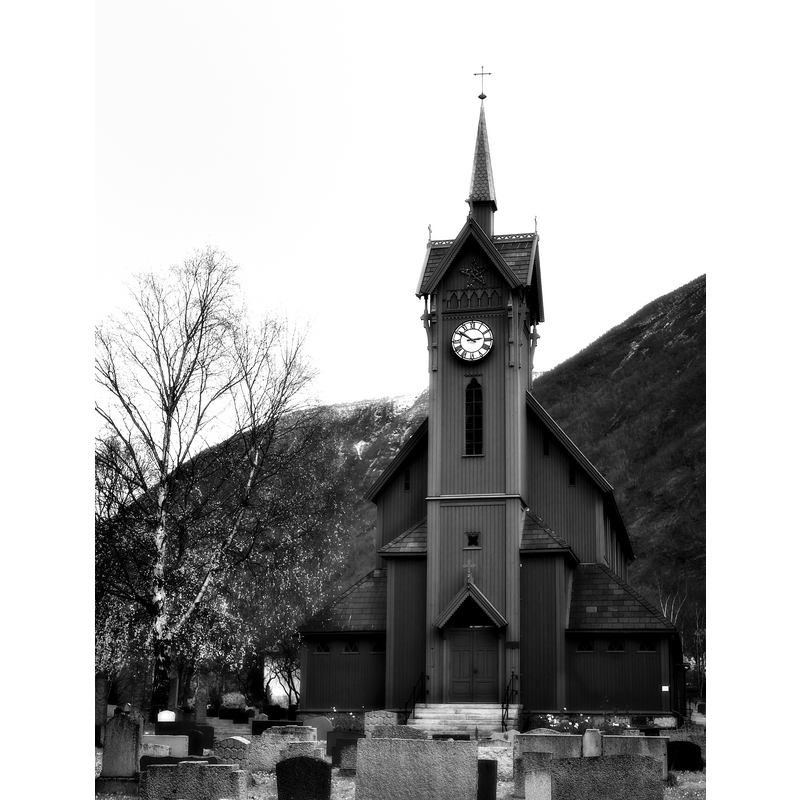
Scene Description: the 1867 church
Copyright Statement: Image copyright © Stray Croc [M.Smotryaev], 2009
Image Source: digital photograph taken 6 November 2009 by Stray Croc [M.Smotryaev] [www.flickr.com/photos/78936161@N00/4092822650] [accessed 28 December 2016]
Copyright Instructions: CC-BY-SA-2.0
view of church exterior in context
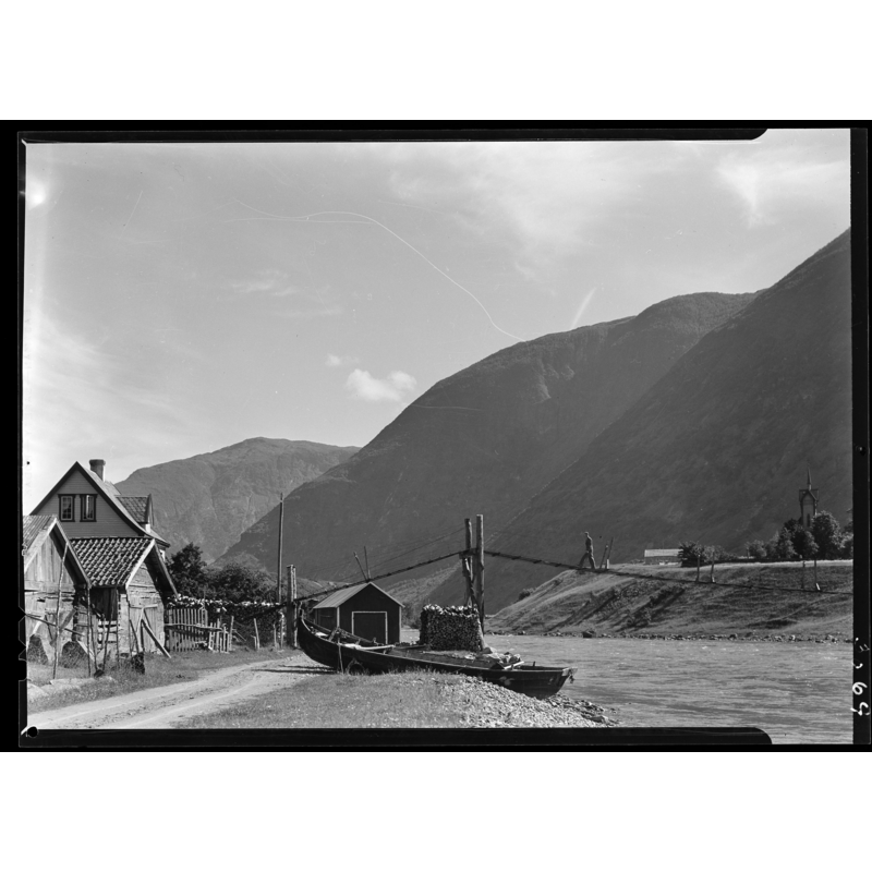
Scene Description: the 1867 church on a promontory, across the water, right side of the image
Copyright Statement: Image copyright © [in the public domain]
Image Source: digital image of a ca.1939-1949 Bildet er hentet fra Nasjonalbibliotekets bildesamling. Anmerkninger til bildet var: Fotograf : ukjent Årdalstangen, Årdal, Sogn og Fjordane [https://commons.wikimedia.org/wiki/File:Fra_Årdalstangen_-_no-nb_digifoto_20151020_00251_NB_MIT_FNR_03069_B.jpg] [accessed 28 December 2016]
Copyright Instructions: PD
INFORMATION
Font ID: 20807ARD
Object Type: Baptismal Font1?
Font Century and Period/Style: 12th century, Romanesque
Church / Chapel Name: Årdal kyrkje
Church Notes: original stavkirke of the 12thC; present church dates from 1867
Church Address: Årdal, Sogn og Fjordane, Norway
Site Location: Sogn og Fjordane, Vestlandet, Norway, Europe
Directions to Site: Located in the municipality of Årdal, at the inner part of the Årdalsfjorden, one of the branches of the Sognefjorden
Ecclesiastic Region: Bjørgvin Bispedømme
Additional Comments: disappeared font? (the one from the original 12thC stavkirke here)
Font Notes:
Click to view
[NB: we have no information on the font of the original 12th-century church here]
COORDINATES
UTM: 32V 430546 6789960
Latitude & Longitude (Decimal): 61.237778, 7.706111
Latitude & Longitude (DMS): 61° 14′ 16″ N, 7° 42′ 22″ E