Aston / Aschton / Easttun / Estona / Estone [Domesday] (Herts.)
![Main image for Aston / Aschton / Easttun / Estona / Estone [Domesday] (Herts.)](/static-50478a99ec6f36a15d6234548c59f63da52304e5/compressed/1161013003_compressed.png)
Image copyright © John Salmon, 2006
CC-BY-SA-2.0
Results: 3 records
view of font and cover
Scene Description: the modern font
Copyright Statement: Image copyright © John Salmon, 2006
Image Source: digital photograph taken 9 September 2006 by John Salmon [www.geograph.org.uk/photo/377622] [accessed 12 October 2016]
Copyright Instructions: CC-BY-SA-2.0
view of church exterior - southeast view
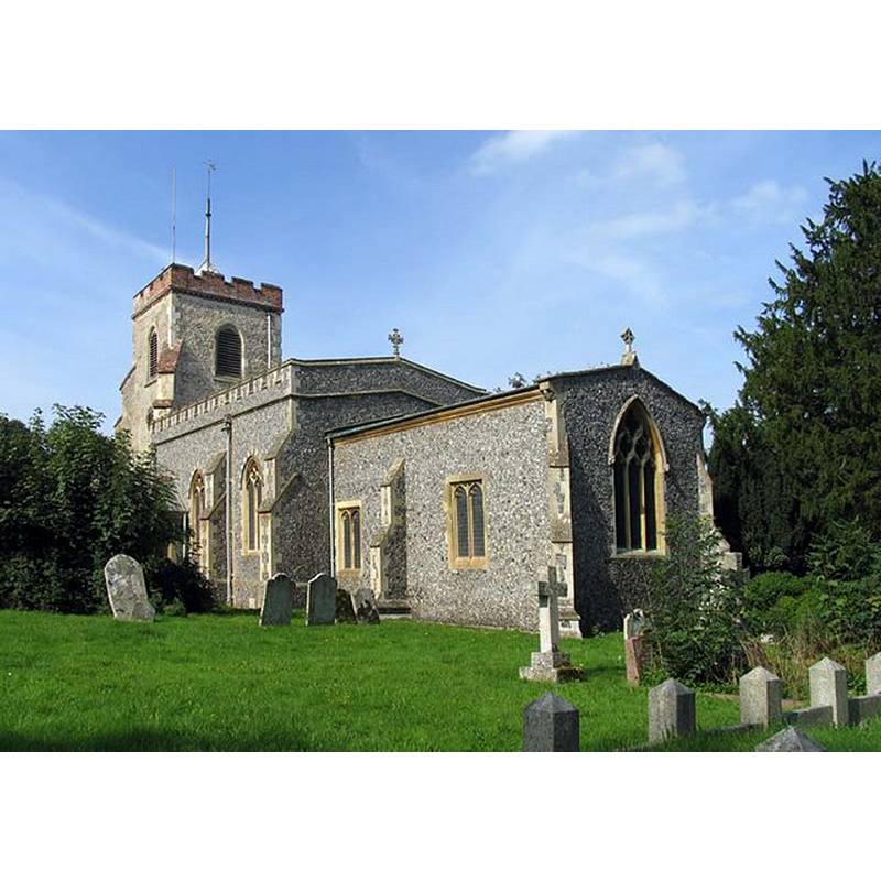
Copyright Statement: Image copyright © John Salmon, 2006
Image Source: digital photograph taken 9 September 2006 by John Salmon [www.geograph.org.uk/photo/377612] [accessed 12 October 2016]
Copyright Instructions: CC-BY-SA-2.0
view of church interior - nave - looking east
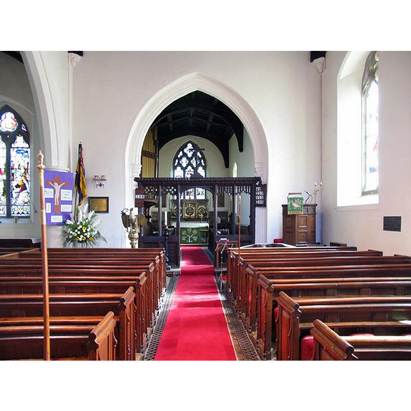
Copyright Statement: Image copyright © John Salmon, 2006
Image Source: digital photograph taken 9 September 2006 by John Salmon [www.geograph.org.uk/photo/377615] [accessed 12 October 2016]
Copyright Instructions: CC-BY-SA-2.0
INFORMATION
Font ID: 20765AST
Object Type: Baptismal Font1?
Font Century and Period/Style: 12th century (mid?), Late Norman
Church / Chapel Name: Parish Church of St. Mary the Virgin [St. James' ca. 1439-1490]
Church Patron Saint(s): St. Mary the Virgin [St. James' ca. 1439-1490]
Church Address: Broadwater Lane, Aston, Hertfordshire SG2 7EF
Site Location: Hertfordshire, East, England, United Kingdom
Directions to Site: Located off (E) the A602, ESE of Stevenage
Ecclesiastic Region: Diocese of St. Albans
Historical Region: Hundred of Broadwater
Additional Comments: disappeared font? (the one from the mid-12thC (?) church here)
Font Notes:
Click to view
There is an entry for this Aston [variant spelling] in the Domesday survey [http://opendomesday.org/place/TL2722/aston/] [accessed 12 October 2016]; it mentions a priest but not a church, though there must have been one there. The Victoria County History (Hertfordshire, vol. 3, 1912) notes: "The invocation of Aston Church seems to have been changed about the end of the 15th century, for in 1430 and apparently in 1490 it is referred to as St. James, […] but in 1505 and after as our Lady. […] The presentation to the church seems to have always belonged to the lord of the manor. It was confirmed to the monastery of Reading by William Earl of Arundel [+1176], Queen Adelaide's husband, […] and by Henry II […] and Edward III. […] The chancel and nave date from about 1230, and probably represent the whole of the original church. It was not until the end of the 14th or the beginning of the 15th century that the west tower was added;" no font mentioned in the VCH entry. The present font is modern.
COORDINATES
UTM: 30U 695888 5752381
Latitude & Longitude (Decimal): 51.887728, -0.153433
Latitude & Longitude (DMS): 51° 53′ 15.82″ N, 0° 9′ 12.36″ W