Codicote / Codicoate / Coticote / Corricote / Cudicote / Cudithote / Cuthingcoton
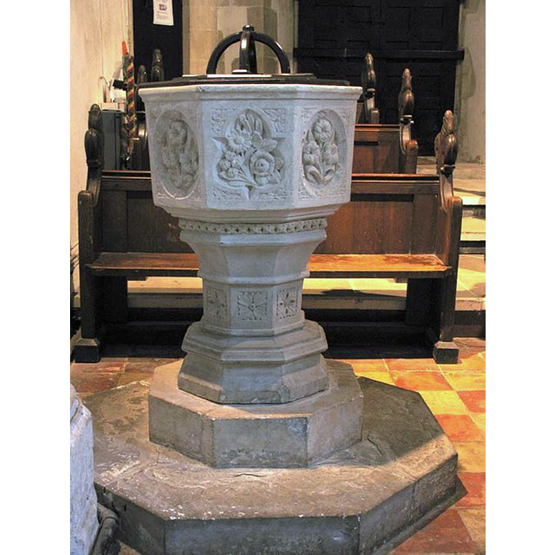
Image copyright © John Salmon, 2007
CC-BY-SA-2.0
Results: 3 records
view of font and cover
Scene Description: the modern font
Copyright Statement: Image copyright © John Salmon, 2007
Image Source: digital photograph taken 20 December 2005 by John Salmon [www.geograph.org.uk/photo/365774] [accessed 21 September 2016]
Copyright Instructions: CC-BY-SA-2.0
view of church exterior - southeast view
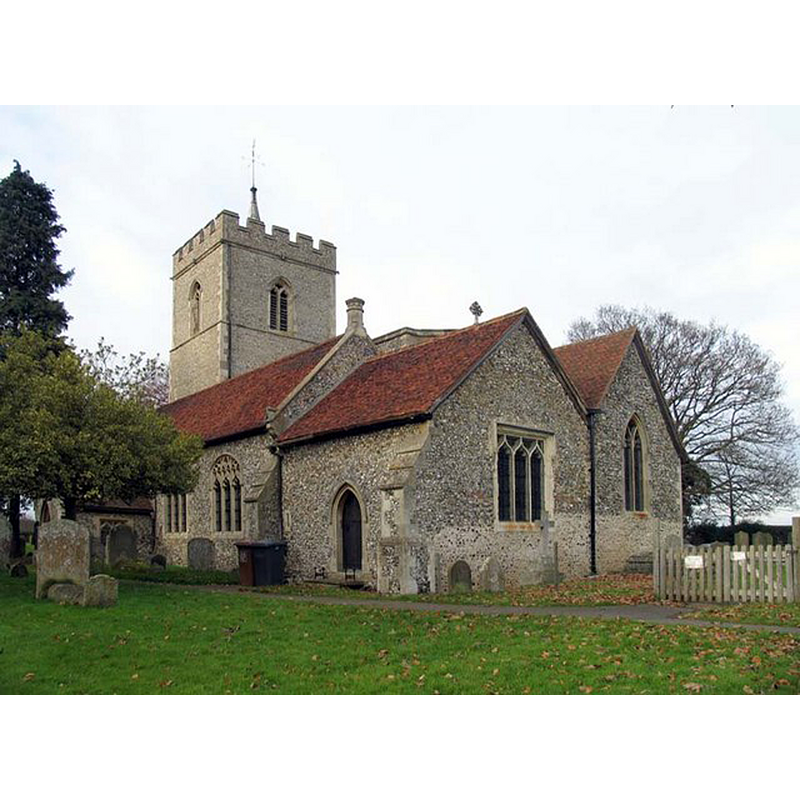
Copyright Statement: Image copyright © John Salmon, 2007
Image Source: digital photograph taken 20 December 2005 by John Salmon [www.geograph.org.uk/photo/365763] [accessed 21 September 2016]
Copyright Instructions: CC-BY-SA-2.0
view of church interior - nave - looking east
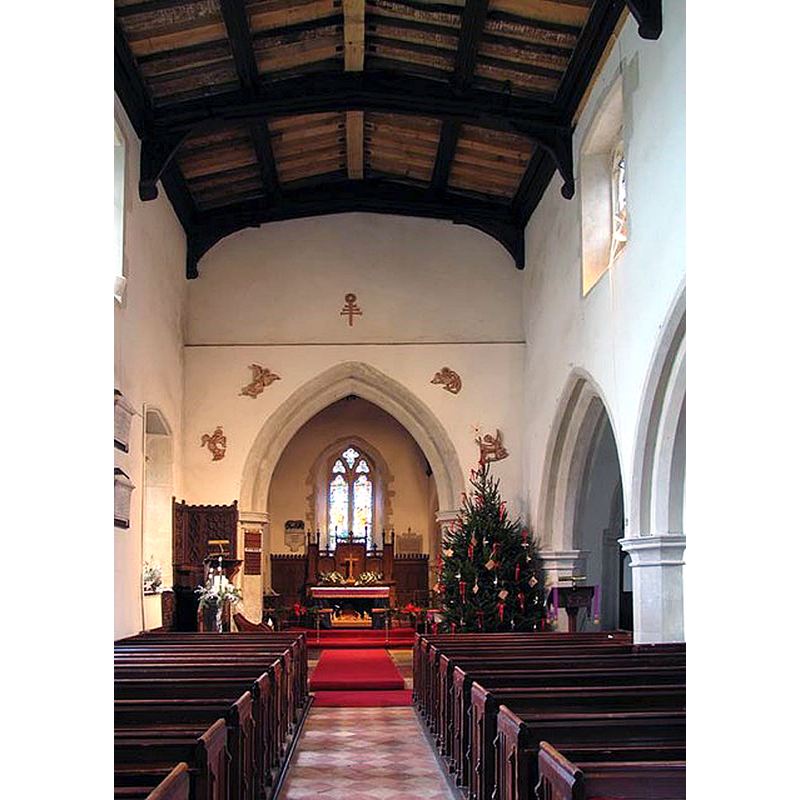
Copyright Statement: Image copyright © John Salmon, 2007
Image Source: digital photograph taken 20 December 2005 by John Salmon [www.geograph.org.uk/photo/365775] [accessed 21 September 2016]
Copyright Instructions: CC-BY-SA-2.0
INFORMATION
Font ID: 20744COD
Object Type: Baptismal Font1?
Font Century and Period/Style: 12th century (early?), Norman
Church / Chapel Name: Parish Church of St. Giles
Church Patron Saint(s): St. Giles [aka Aegidus, Egidus, Gilles]
Church Address: 49 Bury Lane, Codicote, Hertfordshire SG4 8YT
Site Location: Hertfordshire, East, England, United Kingdom
Directions to Site: Located off € the B656, ESZE of Luton, NW of Hertford
Ecclesiastic Region: Diocese of St. Albans
Historical Region: Hundred of Broadwater [in Domesday] -- Hundred of Cashio
Additional Comments: disappeared font? (the one from the early-12thC church here)
Font Notes:
Click to view
There is an entry for Codicote in the Domesday survey [http://opendomesday.org/place/TL2118/codicote/] [accessed 21 September 2016], but it mentions neither cleric nor church in it. The Victoria County History (Hertfordshire, vol. 2, 1908) notes: "The advowson and rectory of the church of Codicote belonged to the priory of Sopwell till its dissolution in 1537, but the date at which they acquired it is not known. […] Ralph, bishop of Rochester, 1108–14, dedicated the church of Codicote, (fn. 46) but whether any part of the existing building belongs to this time is a matter of conjecture only […] The octagonal font is modern, and stands under the tower."
COORDINATES
UTM: 30U 690630 5748477
Latitude & Longitude (Decimal): 51.85449, -0.2319
Latitude & Longitude (DMS): 51° 51′ 16.16″ N, 0° 13′ 54.84″ W
REFERENCES
- Victoria County History [online], University of London, 1993-. URL: https://www.british-history.ac.uk.