Saint-Valery-sur-Somme No. 2 / La Montagne-sur-Somme / Leuconaus / Port-Somme / Saint-Wary
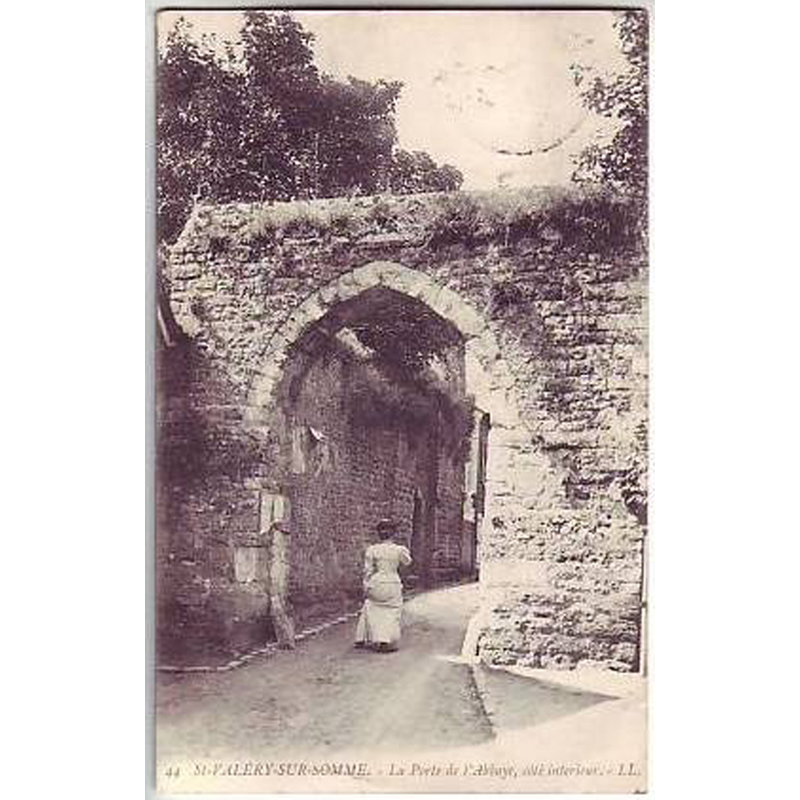
Image copyright © delcampe.net, 2016
No known copyright restriction / Fair Dealing
Results: 3 records
view of church exterior in context
Copyright Statement: Image copyright © delcampe.net, 2016
Image Source: digital image of a 1911 postcard in delcampe.net [http://images-02.delcampe-static.net/img_large/auction/000/128/135/080_001.jpg] [accessed 2 May 2016]
Copyright Instructions: No known copyright restriction / Fair Dealing
view of church exterior in context
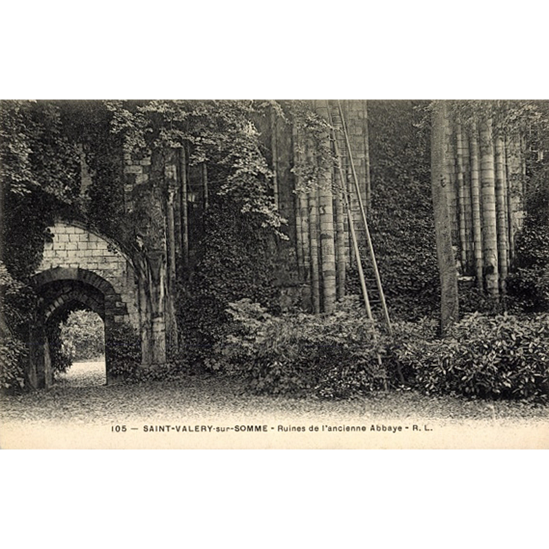
Scene Description: Source caption: "Carte postale Saint Valery sur Somme, Ruines de l'ancienne Abbaye"
Copyright Statement: Image copyright © akpool.fr, 2016
Image Source: digital image of an undated postcard [www.akpool.fr/cartes-postales/24186341-carte-postale-saint-valery-sur-somme-ruines-de-lancienne-abbaye] [accessed 2 May 2016]
Copyright Instructions: No known copyright restriction / Fair Dealing
view of church exterior in context - southeast view
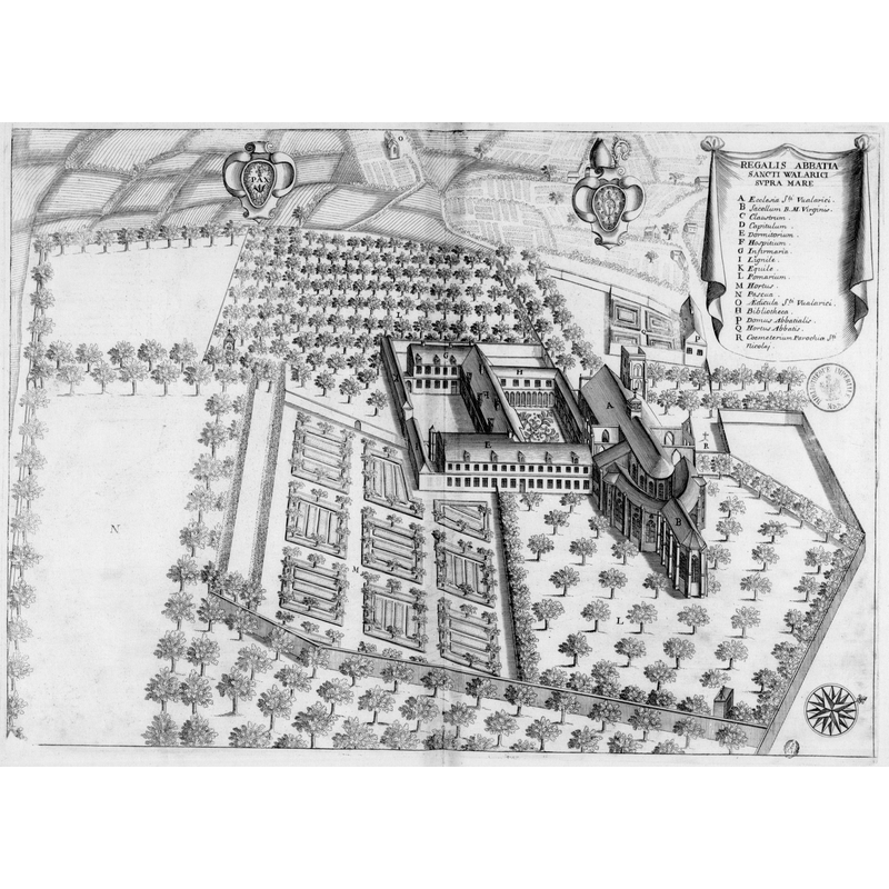
Scene Description: Source caption: "Planche gravée du 17ème siècle représentant l'abbaye de Saint-Valéry-Sur-Somme, dans le livre Monasticon Gallicanum. Bibliothèque nationale de France"
Copyright Statement: Image copyright © [in the public domain]
Image Source: digital image of a 17thC engraving in Dom Germain's Monasticon Gallicanum, in the Bibliothèque nationale de France [https://commons.wikimedia.org/wiki/File:Abbaye_de_Saint-Valéry-Sur-Mer_dans_Monasticon_Gallicanum.jpg] [accessed 2 May 2016]
Copyright Instructions: PD
INFORMATION
Font ID: 20529VAL
Object Type: Baptismal Font1?
Font Century and Period/Style: 11th - 13th century, Romanesque
Church / Chapel Name: Ancienne église abbatiale Saint-Valery [in ruins]
Church Patron Saint(s): St. Walaric [aka Gualaric / Valery de Leuconay / Walric]
Church Notes: 13thC church of a Benedictine abbey (originally founded 615, the oldest monastery in the diocese of Amiens; destroyed bu Vikings in the Carolingian period; favoured by William the Conqueror and Henry II of England); destroyed by in Louis XI in 1475; altered 16th, 17th and 18thC; sold after the Revolution -- listed in Mérimée [ref.: PA00116271]: "ruines de la magnifique église du 13e siècle (bas-côté sud de la nef, chapelle absidale st Nicolas)"
Church Address: location of the ruins: 1 rue des Processions, 80230 Saint-Valery-sur-Somme, France
Site Location: Somme, Hauts-de-France, France, Europe
Directions to Site: Located off the D3, 3 km S of Le Crotoy, 4 km N of Estrébœuf (S), on the Soome estuary, S shore
Ecclesiastic Region: Diocèse d’Amiens
Additional Comments: disappeared font? (the one from the 6th-11thC, 13thC abbey church here)
Font Notes:
Click to view
[NB: we have no information on the font of the abbey church here]
COORDINATES
Latitude & Longitude (Decimal): 50.188889, 1.630556
Latitude & Longitude (DMS): 50° 11′ 20″ N, 1° 37′ 50″ E