Amiens No. 7
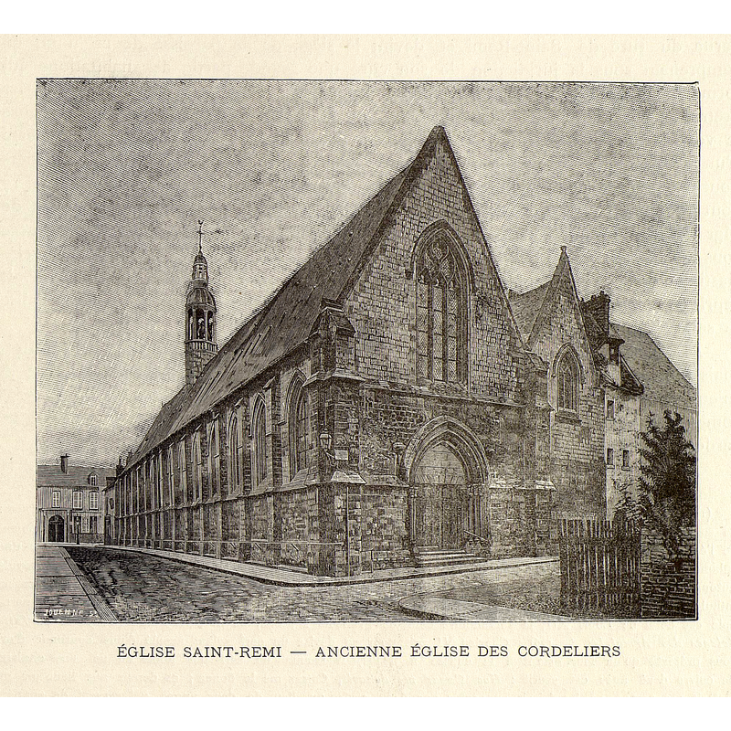
Image copyright © [in the public domain]
PD
Results: 3 records
view of church exterior
Scene Description: old Saint-Remi, demolished mid-19thC
Copyright Statement: Image copyright © [in the public domain]
Image Source: héliogravure in Brutails (1893-1899), vol. 3: 179
Copyright Instructions: PD
view of church exterior - west view
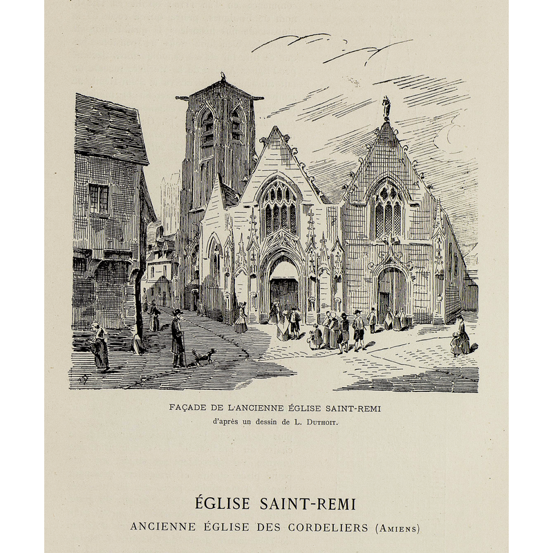
Scene Description: old Saint-Remi, demolished mid-19thC
Copyright Statement: Image copyright © [in the public domain]
Image Source: engraving [ca. 1895?] of a drawing by L. Dutroit, in Brutails (1893-1899, vol. 3: 177)
Copyright Instructions: PD
view of church exterior - southwest end
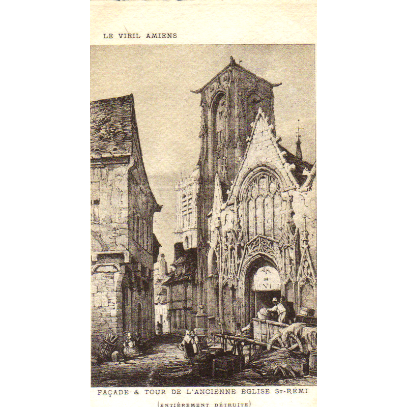
Scene Description: old Saint-Remi, demolished mid-19thC
Copyright Statement: Image copyright © [in the public domain]
Image Source: undated engraving reproduced in www.amiens-wiki.com/index.php?title=Fichier:CPA-Tour-ancienne-eglise-saint-Remy.jpg [accessed 1 May 2015]
Copyright Instructions: CC-BY-SA-2.0
INFORMATION
Font ID: 20525AMI
Object Type: Baptismal Font1?
Font Date: ca. 1503?
Font Century and Period/Style: 12th century (early?) / 16th century(early?), Romanesque? / Late Gothic?
Church / Chapel Name: Église Saint-Remi [aka Ancienne église des cordeliers] [disappeared]
Font Location in Church: [disappeared]
Church Patron Saint(s): St. Remigius of Reims [aka Remi, Rémi, Remy]
Church Notes: original church located by the cathedral said to be ca. 1110; later re-built in 1503; abandoned in the Revolution; demolished 1850 -- mentioned in the listing for the new church in Mérimée [ref.: PA80000025] ; new church with same dedication built in a new site late-18thC
Church Address: [NB: coordinates given are for the present square Pierre-Marie Saguez, built in the former location of the old church -- the church was located near the preseent corner of rue de la République and rue des Cordeliers]
Site Location: Somme, Hauts-de-France, France, Europe
Directions to Site: NB: only a few vestiges of the demolished church survive where square Pierre-Marie Saguez is located now [2016]
Ecclesiastic Region: Diocèse d'Amiens
Historical Region: Picardie
Additional Comments: disappeared font? (the one from the old Saint-Remi church by the cathedral)
Font Notes:
Click to view
[NB: we have no information on the font of the demolished church here]
COORDINATES
UTM: 31U 449427 5526883
Latitude & Longitude (Decimal): 49.8922, 2.2959
Latitude & Longitude (DMS): 49° 53′ 31.92″ N, 2° 17′ 45.24″ E