Mulhouse
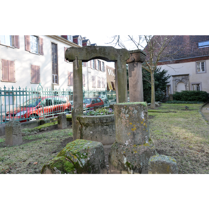
Image copyright © M.Strīķis, 2011
CC-BY-SA-3.0
Results: 2 records
view of church exterior in context
Scene Description: Early-17thC well listed in Palissy [ref.: IM68003232]: "Puits portant la date 1604, provenant de la maison 1 rue Paille, ayant abrité la Cour des Waldner de Freundstein ; le puits porte les initiales de Jean Lind, pasteur, et de sa femme Catherine von Schwarzach.[in] commanderie d'hospitaliers de Saint-Jean-de-Jérusalem, actuellement collection lapidaire du musée historique".
Copyright Statement: Image copyright © M.Strīķis, 2011
Image Source: edited detail of a digital photograph taken 13 February 2011 by M.Strīķis [https://commons.wikimedia.org/wiki/File:Chapelle_Saint_Jean_-_jardinet.jpg] [accessed 15 April 2016]
Copyright Instructions: CC-BY-SA-3.0
view of church exterior in context
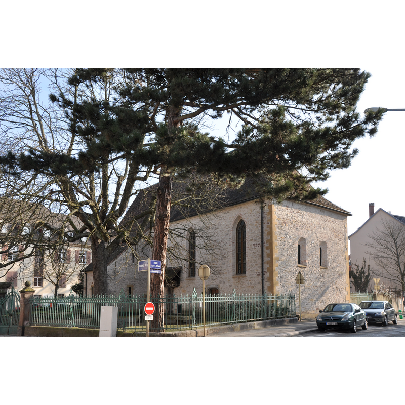
Copyright Statement: Image copyright © M.Strīķis, 2011
Image Source: edited detail of a digital photograph taken 13 February 2011 by M.Strīķis [https://commons.wikimedia.org/wiki/File:Chapelle_Saint_Jean.jpg] [accessed 15 April 2016]
Copyright Instructions: CC-BY-SA-3.0
INFORMATION
Font ID: 20499MUL
Object Type: Baptismal Font1?
Font Century and Period/Style: 12th - 13th century, Medieval
Church / Chapel Name: Chapelle Saint-Jean [originally parish church; later chapel of the Commanderie d'Hospitaliers de Saint-Jean-de-Jérusalem -- now museum]
Font Location in Church: [disappeared]
Church Notes: originally parish church; later chapel of the Commanderie d'Hospitaliers de Saint-Jean-de-Jérusalem; present 14thC building listed in Mérimée [ref.: PA00085523] -- chapel has 16thC mural paintings (life of St John and Passion of Christ)
Church Address: 19b Grand Rue, 68100 Mulhouse, France -- Tel.: +33 3 89 32 58 58
Site Location: Haut-Rhin, Grand Est, France, Europe
Directions to Site: Mulhouse is located NNW of Basel (Switzerland). The chapel is located at the corner of Grand' rue and rue Saint-Jean, SW of the town centre, towards Dornach
Ecclesiastic Region: Diocèse de Strasbourg
Historical Region: Alsace
Additional Comments: disappeared font? (the one from the original parish church here)
Font Notes:
Click to view
The Conseil Consultatif du Patrimoine Mulhousien [www.ccpm.asso.fr/portfolio-view/chapelle-saint-jean/] [accessed 15 April 2016] notes: "La chapelle, consacrée en 1269, faisait partie de la commanderie des Hospitaliers de St-Jean de Jérusalem. Elle repose sur des fondations plus anciennes, sans doute celles d’une ancienne église paroissiale. Agrandie en 1351 et vers 1500". [NB: we have no information of the font of the original parish church here].
COORDINATES
Latitude & Longitude (Decimal): 47.74573, 7.33179
Latitude & Longitude (DMS): 47° 44′ 44.63″ N, 7° 19′ 54.44″ E