Salles-la-Source No. 2
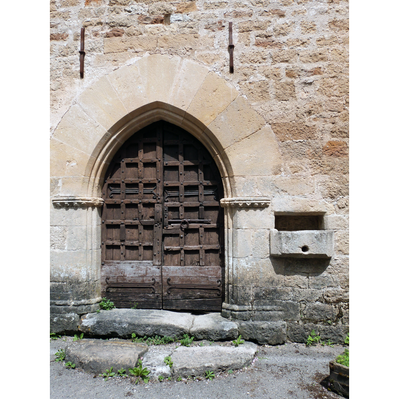
Image copyright © Thérèse Gaigé, 2015
CC-BY-SA-4.0
Results: 3 records
view of church exterior - portal
Copyright Statement: Image copyright © Thérèse Gaigé, 2015
Image Source: digital photograph taken 26 April 2015 by Thérèse Gaigé [https://commons.wikimedia.org/wiki/File:Entrée_de_l'église_Saint-Paul.JPG] [accessed 20 March 2016]
Copyright Instructions: CC-BY-SA-4.0
view of church exterior - east view
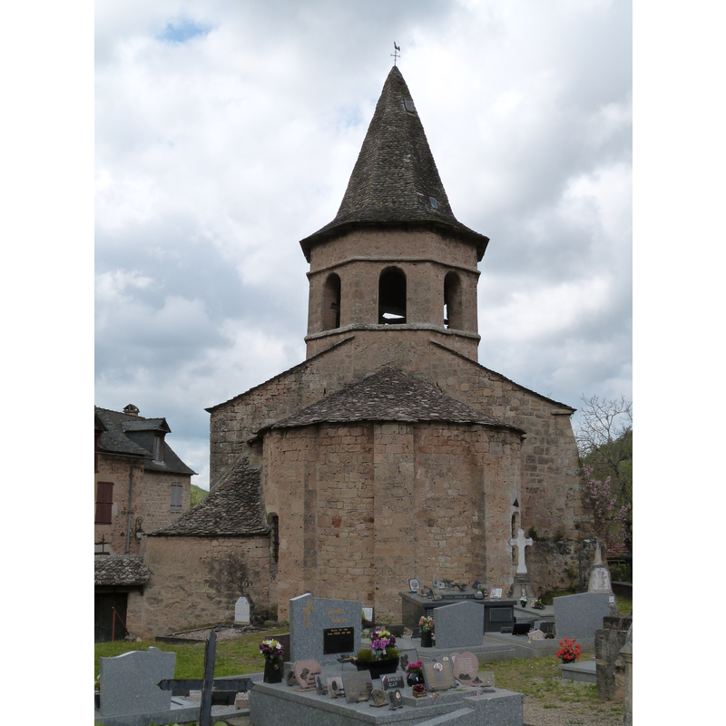
Copyright Statement: Image copyright © Thérèse Gaigé, 2015
Image Source: digital photograph taken 26 April 2015 by Thérèse Gaigé [https://commons.wikimedia.org/wiki/File:Chevet_de_l'église_Saint-Paul_et_cimetière.JPG] [accessed 20 March 2016]
Copyright Instructions: CC-BY-SA-4.0
view of church exterior in context - north view
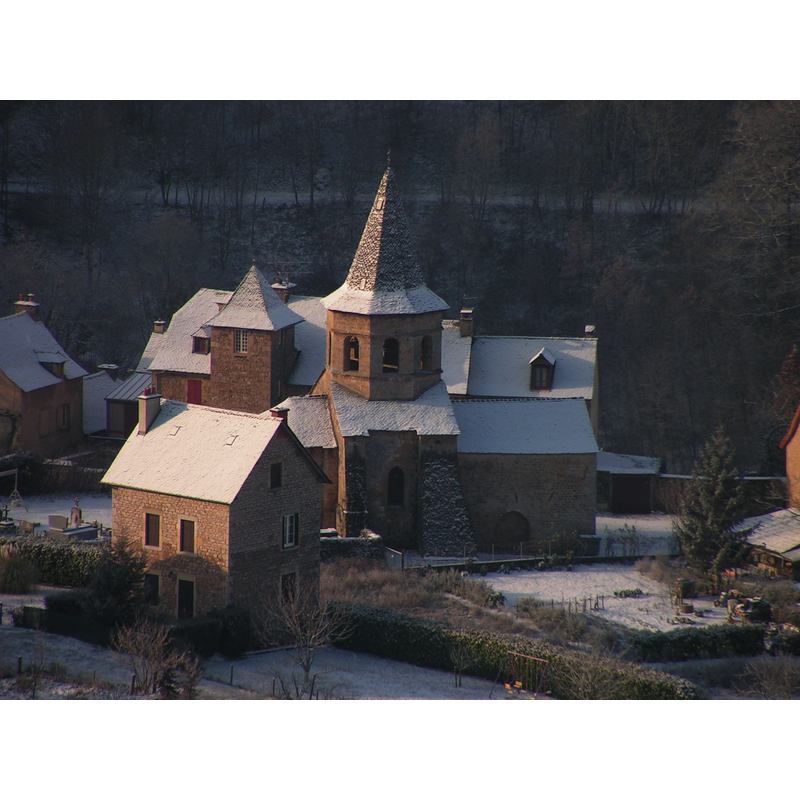
Copyright Statement: Image copyright © Falcoperegrinus (Matthieu Gauvain), 2005
Image Source: digital photograph taken 29 January 2005 by Falcoperegrinus (Matthieu Gauvain) [https://commons.wikimedia.org/wiki/File:Église_Saint_Paul_de_Salles-la-Source_(Matthieu_Gauvain).jpg] [accessd 20 March 2016]
Copyright Instructions: CC-BY-SA-3.0
INFORMATION
Font ID: 20440SAL
Object Type: Baptismal Font1?
Font Century and Period/Style: 12th century, Romanesque
Church / Chapel Name: Église Saint-Paul dans le Bourg [aka Église du Bourg]
Church Patron Saint(s): St. Paul
Church Notes: church listed in Mérimée [ref.: PA00094177]: 12th, 14th, 16thC
Church Address: 12330 Salles-la-Source, France
Site Location: Aveyron, Occitanie, France, Europe
Directions to Site: Located off the D901, between Mouret (N) and Onet-le-Château (S), Valady (W) and Rodelle (E), NNW of Rodez
Ecclesiastic Region: Diocèse de Rodez
Additional Comments: disappeared font? (the one from the 12thC church here)
Font Notes:
Click to view
[NB: we have no information on the font of the 12th-century church here]
COORDINATES
UTM: 31T 461115 4920350
Latitude & Longitude (Decimal): 44.4354, 2.5114
Latitude & Longitude (DMS): 44° 26′ 7.44″ N, 2° 30′ 41.04″ E