Southwark No. 1 / Southwerk / Sudgeweork / Sudwerca / Sudwerche / Suthringa geweorc / Suthwerk / Suwerc
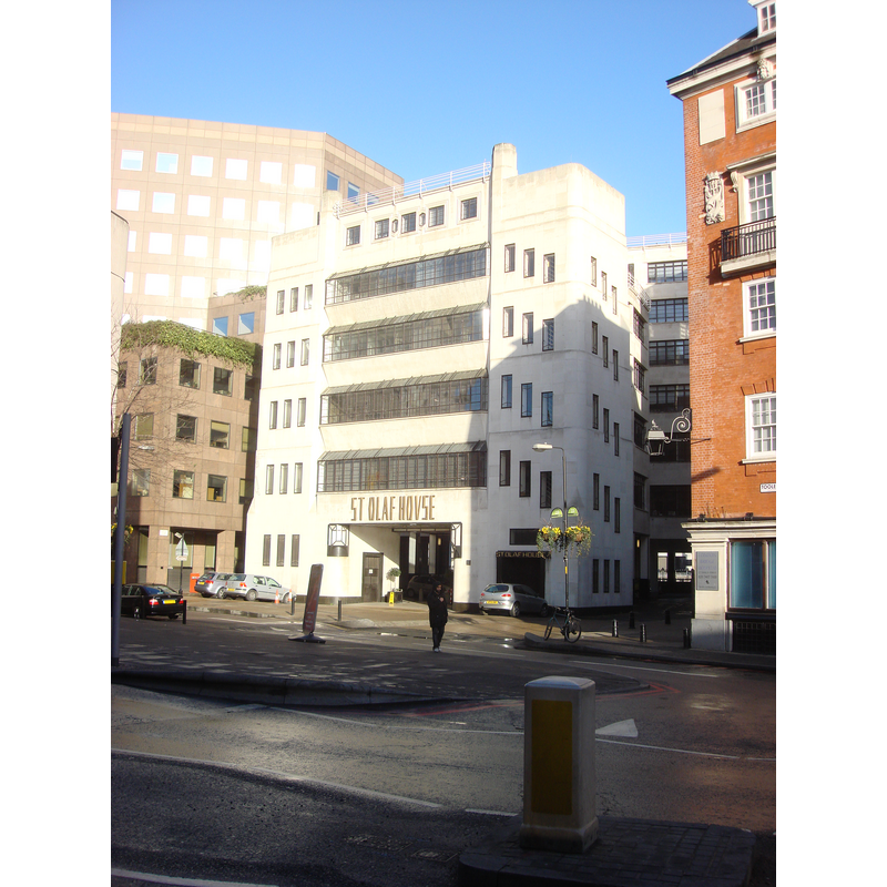
Image copyright © Panhard, 2009
CC-BY-SA-3.0
Results: 3 records
view of church exterior in context
Scene Description: Source caption: "St Olaf House on Tooley Street was designed by H S Goodhart-Rendel for the Hays Wharf Company in 1928-32 as offices and warehousing, the Art Deco facade includes turrets and angled walls. The building is named after the Viking chieftain Olaf Haraldsson (St. Olaf) who attacked London by river in 1009 and tore down London Bridge. It was built on the site of St Olave's church (an alternative spelling of the name) which had occupied the site from the 11th century, was rebuilt in 1740 and finally demolished around 1926."
Copyright Statement: Image copyright © Panhard, 2009
Image Source: digital photograph taken 17 January 2009 by Panhard [https://commons.wikimedia.org/wiki/File:St_Olaf_House_012.jpg] [accessed 15 March 2016]
Copyright Instructions: CC-BY-SA-3.0
view of church exterior in context - southwest view
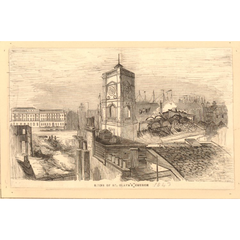
Copyright Statement: Image copyright © The Trustees of the British Museum, 2016
Image Source: 1843 print in the British Museum [ref.: 1880,1113.5261] [www.britishmuseum.org/research/collection_online/collection_object_details/collection_image_gallery.aspx?assetId=803371001&objectId=3272099&partId=1] [accessed 15 March 2016]
Copyright Instructions: CC-BY-NC-SA-4.0
view of church exterior - south view
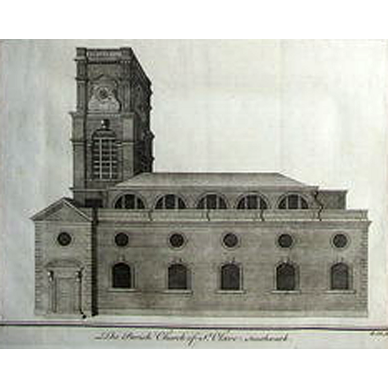
Scene Description: artist's rendering of 1756
Copyright Statement: Image copyright © [in the public domain]
Image Source: 1756 Copper engraving from William Maitland's The History and Survey of London from its Evolution to the Present Time (1756) [https://commons.wikimedia.org/wiki/File:St_Olaves_Southwark_by_Benjamin_Cole.png] [accessed 15 March 2016]
Copyright Instructions: CC-PD-Mark
INFORMATION
Font ID: 20431SOU
Object Type: Baptismal Font1?
Font Century and Period/Style: 11th century, Pre-Conquest? / Norman
Church / Chapel Name: Parish Church of St. Olave [demolished 1928]
Church Patron Saint(s): St. Olaf [aka Olaf II Haraldsson, Óláfr Haraldsson, Olav, Olav Haraldsson, Olave, Olof]
Church Notes: church redundant 1926; demolished 1928
Church Address: [formerly on Tooley Street]
Site Location: Greater London, South East, England, United Kingdom
Directions to Site: formerly on Tooley Street
Ecclesiastic Region: Diocese of Southwark
Historical Region: Hundred of Brixton -- formerly in Surrey
Additional Comments: disappeared font? (the one of the Domesday-time church here, demolished in 1928)
Font Notes:
Click to view
[NB: we have no information on the font of the Domesday-time church here, demolished in 1928]
COORDINATES
UTM: 30U 702186 5710177
Latitude & Longitude (Decimal): 51.5065, -0.0865
Latitude & Longitude (DMS): 51° 30′ 23.4″ N, 0° 5′ 11.4″ W
REFERENCES
- Victoria County History [online], University of London, 1993-. URL: https://www.british-history.ac.uk.