Rotherhithe / Rederith / Redriff / Redruth / Redryff / Retherhithe / Rotherethe / Ruherhithe
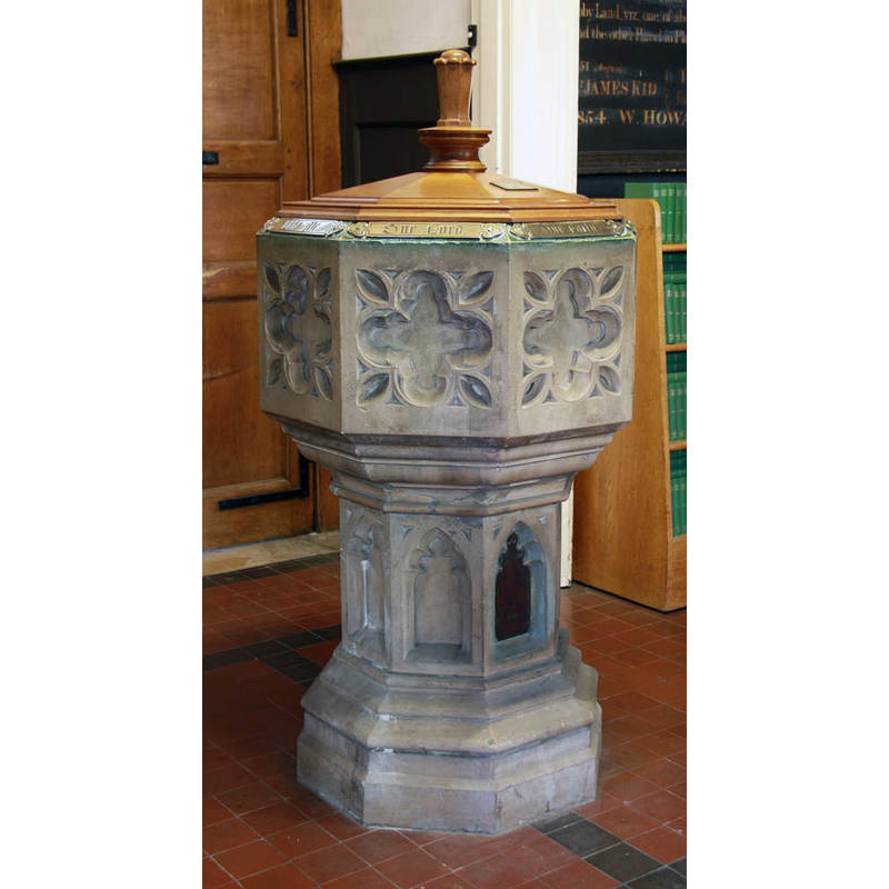
Image copyright © John Salmon, 2012
CC-BY-SA-2.0
Results: 4 records
view of font and cover
Scene Description: the modern font
Copyright Statement: Image copyright © John Salmon, 2012
Image Source: digital photograph taken 14 March 2012 by John Salmon [www.geograph.org.uk/photo/2851472] [accessed 10 March 2016]
Copyright Instructions: CC-BY-SA-2.0
view of church exterior - south view
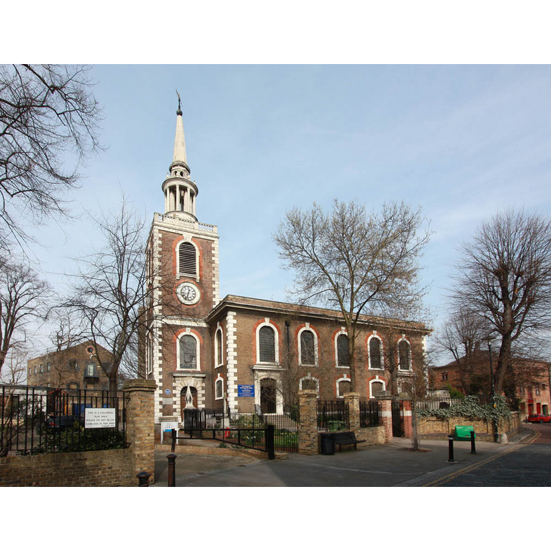
Copyright Statement: Image copyright © John Salmon, 2012
Image Source: digital photograph taken 14 March 2012 by John Salmon [www.geograph.org.uk/photo/2852207] [accessed 10 March 2016]
Copyright Instructions: CC-BY-SA-2.0
view of church interior - nave - looking west
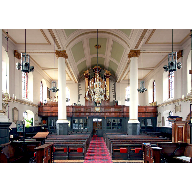
Copyright Statement: Image copyright © John Salmon, 2012
Image Source: digital photograph taken 14 March 2012 by John Salmon [www.geograph.org.uk/photo/2851472] [accessed 10 March 2016]
Copyright Instructions: CC-BY-SA-2.0
view of church interior - nave - looking east
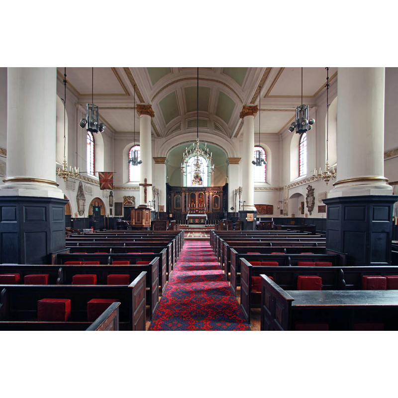
Copyright Statement: Image copyright © John Salmon, 2012
Image Source: digital photograph taken 14 March 2012 by John Salmon [www.geograph.org.uk/photo/2851483] [accessed 10 March 2016]
Copyright Instructions: CC-BY-SA-2.0
INFORMATION
Font ID: 20417ROT
Object Type: Baptismal Font1?
Font Date: ca. 1291?
Font Century and Period/Style: 13th century (late?), Decorated
Church / Chapel Name: Parish Church of St. Mary with All Saints
Church Patron Saint(s): St. Mary the Virgin? with All Saints
Church Address: Rotherhithe Street, Camberwell, Greater London SE16 4HZ -- Tel.: +44 20 7394 3394
Site Location: Greater London, South East, England, United Kingdom
Directions to Site: Located in the Docklands area of London, betwen Bermondsey and Deptford, in the London Borough of Southwark
Ecclesiastic Region: Diocese of Southwark
Historical Region: Hundred of Brixton
Additional Comments: disappeared font? (the one from the late-13thC church here)
Font Notes:
Click to view
No individual entry for Rotherhithe found in the Domesday survey. The Victoria County History (Surrey, vol. 4, 1912) notes: "There is no evidence of a church at Rotherhithe before 1291 [...] The whole [present] structure is of brick except the stone spire which surmounts the tower, and dates from 1714, when the body of the church was rebuilt in its present form and the old church destroyed"; there is no font mentioned in the VCH entry. The present font is modern.
COORDINATES
UTM: 30U 704475 5709607
Latitude & Longitude (Decimal): 51.500556, -0.053889
Latitude & Longitude (DMS): 51° 30′ 2″ N, 0° 3′ 14″ W
REFERENCES
- Victoria County History [online], University of London, 1993-. URL: https://www.british-history.ac.uk.