Camberwell / Cambrewelle
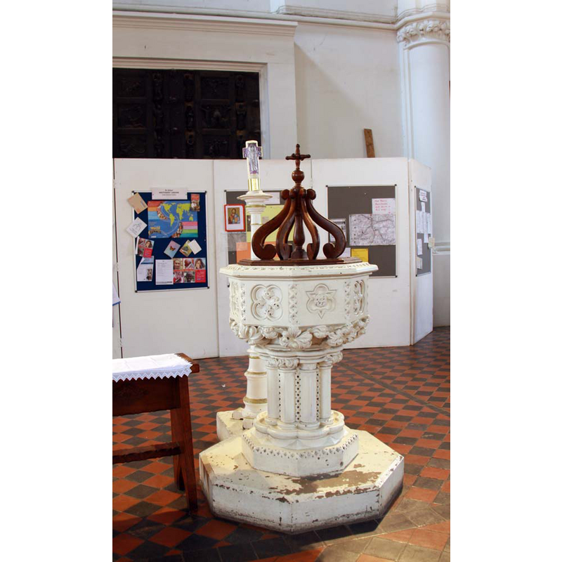
Image copyright © John Salmon, 2010
CC-BY-SA-2.0
Results: 3 records
view of font
Scene Description: the modern font
Copyright Statement: Image copyright © John Salmon, 2010
Image Source: digital photograph taken 21 February 2010 by John Salmon [www.geograph.org.uk/photo/1721294] [accessed 8 March 2016]
Copyright Instructions: CC-BY-SA-2.0
view of church exterior
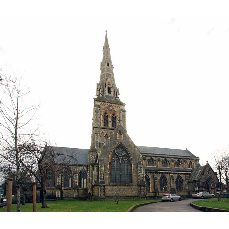
Copyright Statement: Image copyright © John Salmon, 2010
Image Source: digital photograph taken 21 February 2010 by John Salmon [www.geograph.org.uk/photo/1721249] [accessed 8 March 2016]
Copyright Instructions: CC-BY-SA-2.0
view of church interior - nave - looking east
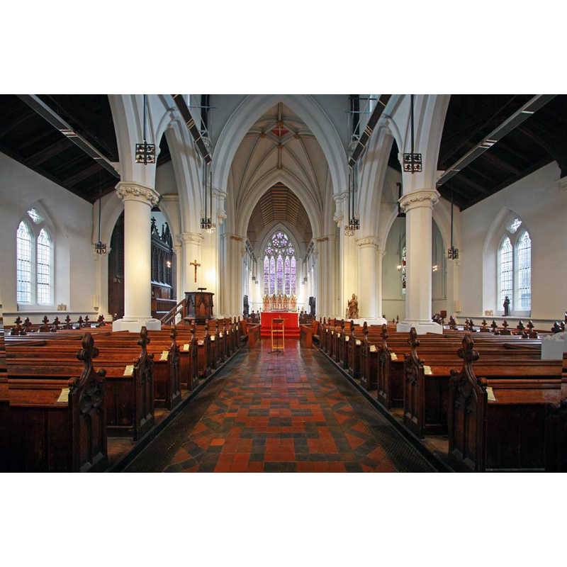
Copyright Statement: Image copyright © John Salmon, 2010
Image Source: digital photograph taken 21 February 2010 by John Salmon [www.geograph.org.uk/photo/1721325] [accessed 8 March 2016]
Copyright Instructions: CC-BY-SA-2.0
INFORMATION
Font ID: 20411CAM
Object Type: Baptismal Font1?
Font Century and Period/Style: 11th century, Norman
Church / Chapel Name: Parish Church of St. Giles
Church Patron Saint(s): St. Giles [aka Aegidus, Egidus, Gilles]
Church Address: 49 Wilson Road, Camberwell, Greater London SE5 8QZ
Site Location: Greater London, South East, England, United Kingdom
Directions to Site: Located off the A2217, just S of the A202 [aka Peckham Rd], S of Southwark
Ecclesiastic Region: Diocese of Southwark
Historical Region: Hundred of Brixton -- formerly in Surrey
Additional Comments: disappeared font? (the one from the Domesday-time church here)
Font Notes:
Click to view
There is an entry for Camberwell [variant spelling] in the Domesday survey [http://opendomesday.org/place/TQ3276/camberwell/] [accessed 8 March 2016], and it mentions a church in it. The Victoria County History (Surrey, vol. 4, 1912) notes "The church of Camberwell, mentioned in the Domesday Survey, was granted by William Earl of Gloucester, lord of the fee, to the convent of Bermondsey. [...] The [present] parish church of ST. GILES is a large building of stone in the style of the 14th century, erected in 1844 and designed by Sir Gilbert Scott after the old church had been burnt down"; no font is mentioned in the VCH entry.
COORDINATES
UTM: 30U 702279 5706473
Latitude & Longitude (Decimal): 51.473203, -0.08728
Latitude & Longitude (DMS): 51° 28′ 23.53″ N, 0° 5′ 14.21″ W