Uden / Uje / Uot / Uthen / Wot
Results: 5 records
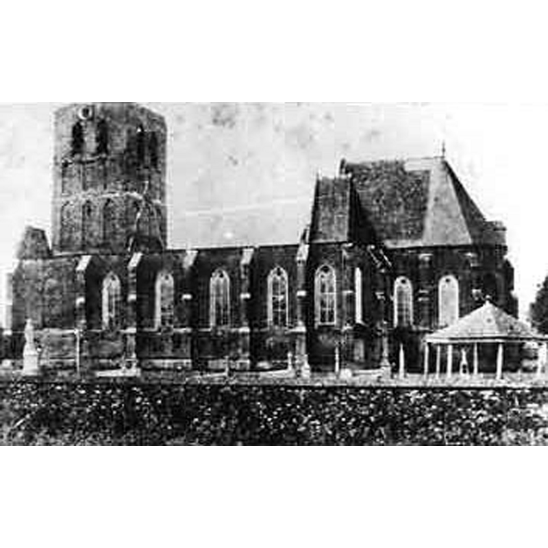
view of church exterior
Scene Description: the exterior of Oude Sint-Pitruskerk, Uden, after the devastating fire of April 1886. Only the outline of the old building remains now, located by the Uden WWII Cemetery -- Source caption: "Oude St. Petrus uit 1300, na de verwoestende brand van zondag 4 april 1886. Heden ligt aan deze locatie het oorlogskerkhof (Uden War Cemetery) waar op initiatief van de Heemkundekring Uden de contouren van de oude kerk met stenen zijn gemarkeerd."
view of church exterior - north view
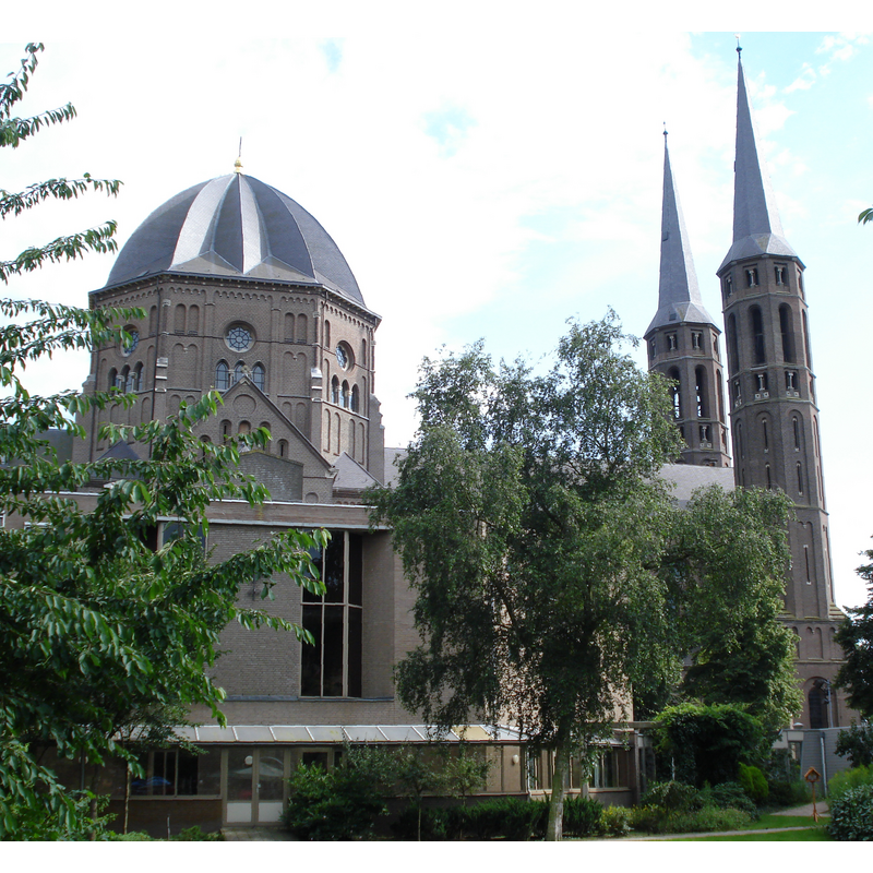
Scene Description: the 19th-century church St. Petrus Stoel te Antiochië at Uden
view of church exterior - southeast view
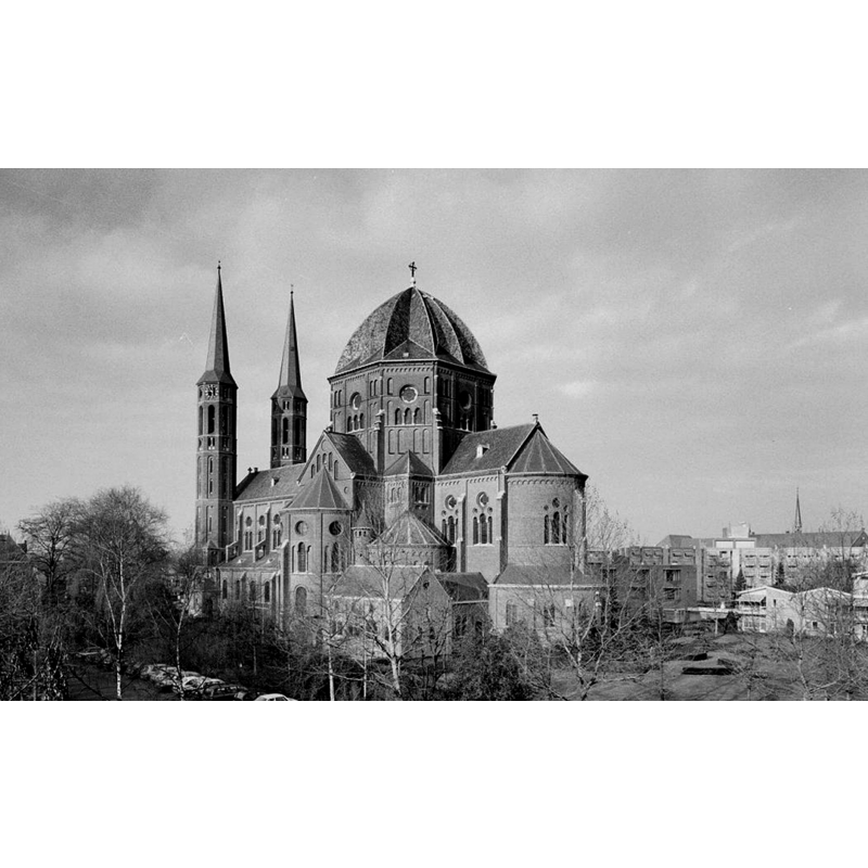
Scene Description: the 19th-century church St. Petrus Stoel te Antiochië at Uden
view of church interior - nave - looking west
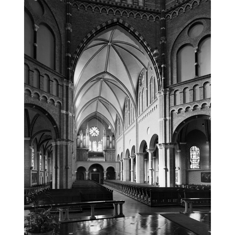
Scene Description: the 19th-century church St. Petrus Stoel te Antiochië at Uden
view of church interior - nave - looking east
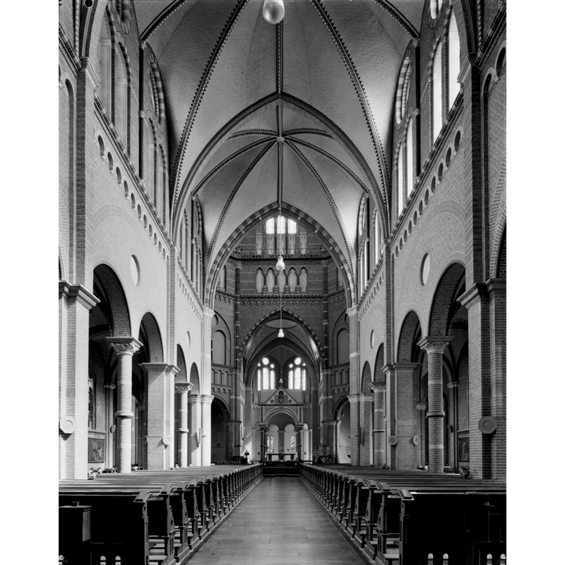
Scene Description: the 19th-century church St. Petrus Stoel te Antiochië at Uden
INFORMATION
Font ID: 20307UDE
Object Type: Baptismal Font1
Font Century and Period/Style: Medieval
Church / Chapel Name: [Oude Sint-Pitruskerk [destroyed]] St. Petrus Stoel te Antiochië
Font Location in Church: [cf. FontNotes]
Church Patron Saint(s): St. Peter
Church Notes: original wooden church at Uden probably ca. 750; stone church ca. 1300; present church late-19thC replaces a ca. 1300 church destroyed by fire 4 April 1886
Church Address: old church: Burgemeester Buskensstraat, 5401 ZT Uden, Netherlands -- new church: Kerkstraat 24, Carolushof, 5401 BE Uden, Netherlands
Site Location: Noord-Brabant, Netherlands, Europe
Directions to Site: Uden is located off (E) the A50, ESE of Hertogenbosch, 33 km NE of Eindhoven
Historical Region: Peelrand
Additional Comments: destroyed font? (was the ancient font here destroyed with the church in April 1886?)
Font Notes:
Click to view
Hermans (1855) writes of an ancient baptismal font discovered [found?] at Uden around the same time he found the fragments of an early font at Herpen [cf. Index entry for Herpen]; no details given in this source. [NB: Oude Sint-Pitruskerk at Uden was destroyed by fire 4 April 1886].
COORDINATES
UTM: 31U 680638 5726381
Latitude & Longitude (Decimal): 51.659345, 5.611704
Latitude & Longitude (DMS): 51° 39′ 33.64″ N, 5° 36′ 42.13″ E
REFERENCES
- Hermans, C.R., "Vlugtige blikken in de kerkelijke archaeologie van Noordbrabant", Jaargang 1, De Dietsche Warande, 1855, pp. 180-201; p. 193