Sark / Cerq / Sèr / Sercq
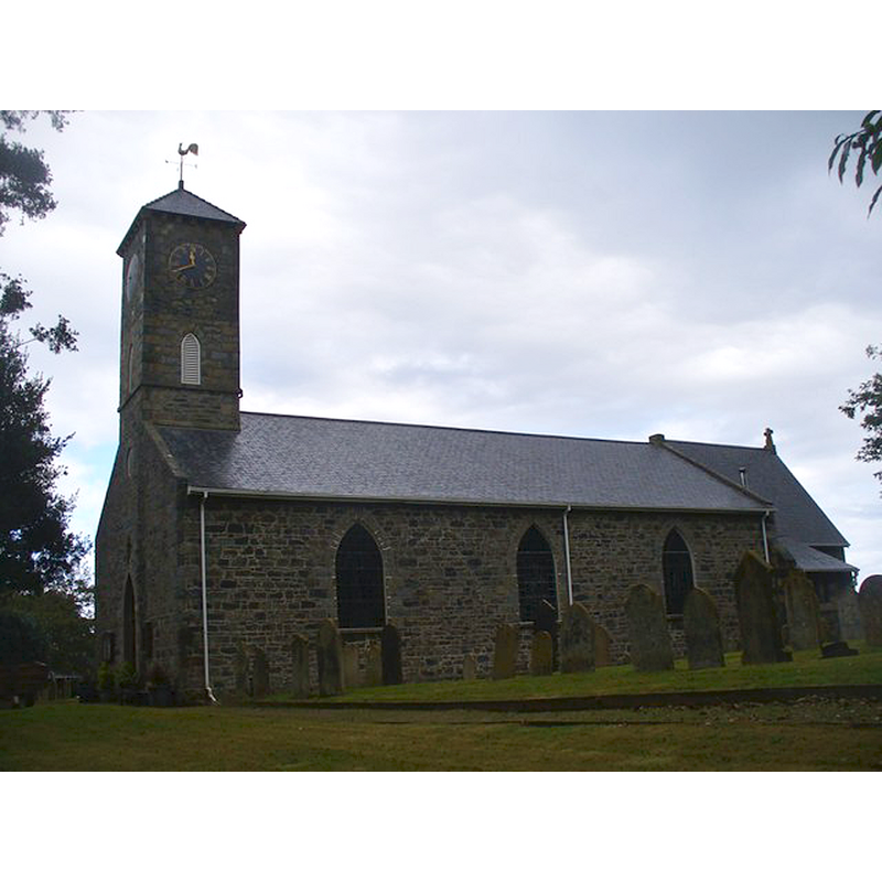
Image copyright © Colin Smith, 2015
CC-BY-SA-2.0
Results: 6 records
view of church exterior - southwest view
Scene Description: the modern church
Copyright Statement: Image copyright © Colin Smith, 2015
Image Source: digital photograph taken 8 October 2015 by Colin Smith [http://channel-islands.geographs.org/photo/1701] [accessed 26 November 2015]
Copyright Instructions: CC-BY-SA-2.0
view of church exterior - west view
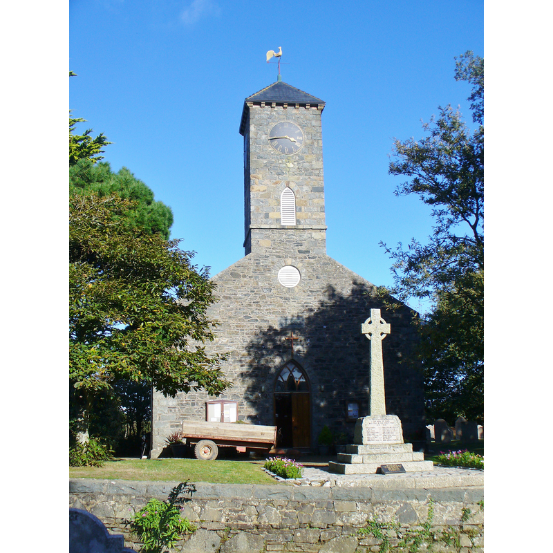
Scene Description: the 19thC church
Copyright Statement: Image copyright © Colin Smith, 2015
Image Source: digital photograph taken 8 October 2015 by Colin Smith
Copyright Instructions: Image and permission received (e-mail of 23 November 2015)
view of font in context
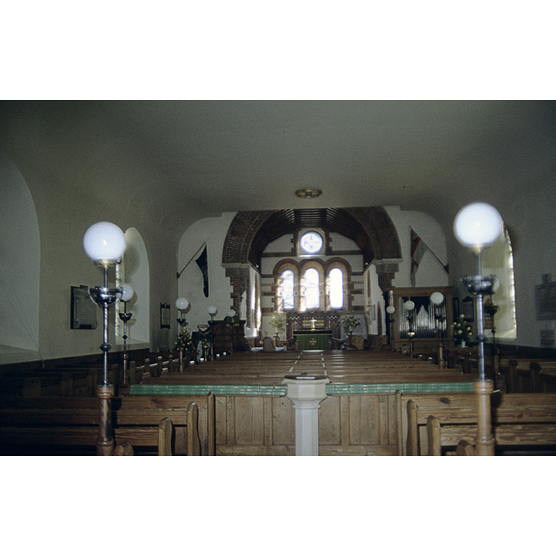
Scene Description: the modern font in the modern church
Copyright Statement: Image copyright © John Rostron, 2010
Image Source: photograph taken 26 July 1968 by John Rostron [http://channel-islands.geographs.org/photo/92] [accessed 26 November 2015]
Copyright Instructions: CC-BY-SA-2.0
view of church interior - sedilia
Scene Description: in the style of the medieval sedilia
Copyright Statement: Image copyright © Colin Smith, 2015
Image Source: digital photograph taken 8 October 2015 by Colin Smith
Copyright Instructions: Image and permission received (e-mail of 23 November 2015)
view of font in context
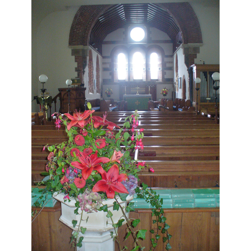
Scene Description: the modern font at the west end of the nave
Copyright Statement: Image copyright © Colin Smith, 2015
Image Source: digital photograph taken 8 October 2015 by Colin Smith
Copyright Instructions: Image and permission received (e-mail of 23 November 2015)
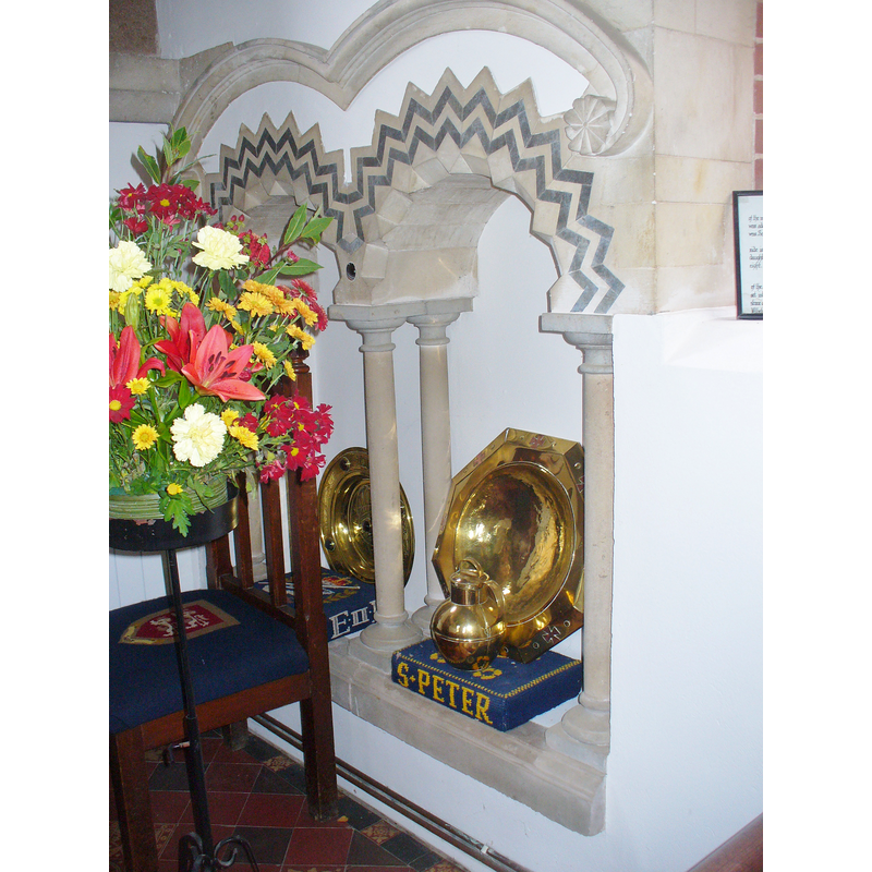
view of object
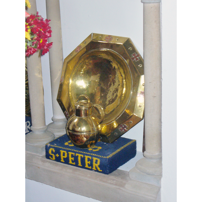
Scene Description: the baptismal dish; to be used on top of the stone font, as many northern churches do
Copyright Statement: Image copyright © Colin Smith, 2015
Image Source: digital photograph taken 8 October 2015 by Colin Smith
Copyright Instructions: Image and permission received (e-mail of 23 November 2015)
INFORMATION
Font ID: 20156SAR
Object Type: Baptismal Font1?
Font Date: ca. 1565?
Font Century and Period/Style: 16th century
Church / Chapel Name: Parish Church of St. Peter
Church Patron Saint(s): St. Peter
Church Notes: "The Reformed Church of the first Jersey Settlers. The church dates from 1820. For 250 years following the re- colonisation of Sark in 1565 the islanders worshipped in a long, narrow, barn-like building, thatched and with an earthen floor. Its bare simplicity suited the first Presbyterian settlers with their strict reformed 'discipline' enforced by the Elders, their dislike of ritual, and their emphasis on sermons. Their so-called 'temple' was part of the Seigneur's manor [...] in 1675 the island was brought reluctantly into conformity with the Anglican rite" [source: La Société Sercquaise 2015 www.socsercq.sark.gg/historyofstpeters.html [accessed 26 November 2015]]
Site Location: Guernsey, Channel Islands, England, United Kingdom
Directions to Site: The Isle of Sark is located in the SW English Channel, off the coast of Normandy
Ecclesiastic Region: Diocese of Winchester
Additional Comments: disappeared font? (the one from the barn-church of 1565 here?)
Font Notes:
Click to view
The present font in this 19th century church consists of an octagonal basin with pronounced upper and lower mouldings, the side panels blank; raised on an octagonal pedestal base with mouldings. This modern font is located at the west end of the nave. [NB: We have no information on the baptism vessel used in the Reformed church established in Sark in 1565; it may have been just a simple funcional dish or font, as services took place in a barn [cf. ChurchNotes] -- there may have been a medieval church here, as there were several monastic comunities on the island at the time, but the island was uninhabited by the 16th century, a refuge for pirates].
Credit and Acknowledgements: We are grateful to Colin Smith for his photographs of this church and modern font
COORDINATES
UTM: 30U 546528 5475781
Latitude & Longitude (Decimal): 49.432919, -2.358292
Latitude & Longitude (DMS): 49° 25′ 58.51″ N, 2° 21′ 29.85″ W