Tratalias
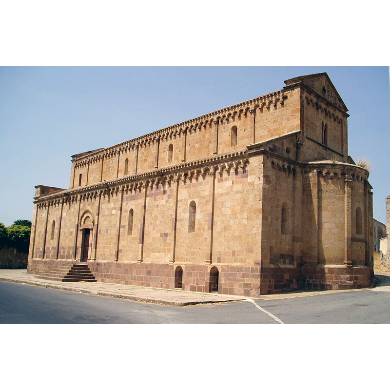
Image copyright © Cristiano Cani, 2003
CC-BY-2.0
Results: 3 records
view of church exterior - southeast view
Copyright Statement: Image copyright © Cristiano Cani, 2003
Image Source: digital photograph taken 18 August 2003 by Cristiano Cani [https://it.wikipedia.org/wiki/File:Ex_Cattedrale_di_Santa_Maria_di_Tratalìas.jpg] [accessed 18 November 2015]
Copyright Instructions: CC-BY-2.0
view of church exterior - northwest end
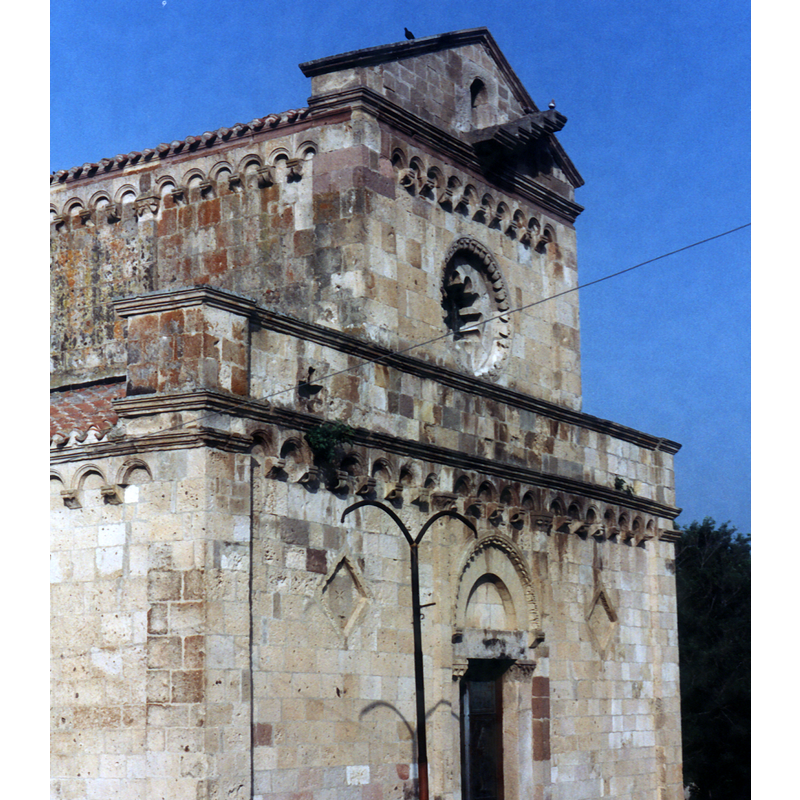
Copyright Statement: Image copyright © Giova81, 2015
Image Source: photograph taken in 1994 by Giova81 [https://commons.wikimedia.org/wiki/File:Tratalias4.jpg] [accessed 18 November 2015]
Copyright Instructions: GFDL / CC-BY-SA-3.0
view of church exterior - southwest view
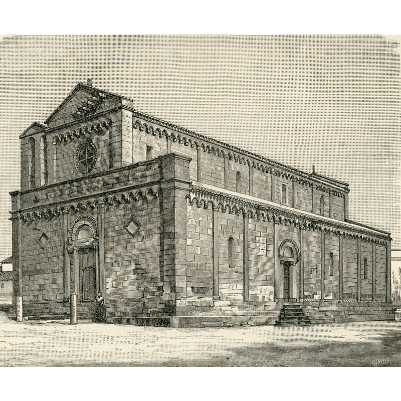
Scene Description: artist's view of 1894
Copyright Statement: Image copyright © [in the public domain]
Image Source: 1894 xylography by Barberis in Strafforello Gustavo, La patria, geografia dell'Italia / Parte 5 (continuazione). Sardegna, Corsica, Malta, Mari d’Italia, Unione Tipografico-Editrice, Torino, 1895. [https://commons.wikimedia.org/wiki/File:Tratalias_chiesa_parrocchiale.jpg] [accessed 18 November 2015]
Copyright Instructions: PD
INFORMATION
Font ID: 20135TRA
Object Type: Baptismal Font1
Font Century and Period/Style: 13th century, Late Romanesque / Early Gothic?
Church / Chapel Name: Cattedrale di Santa Maria di Monserrato / Chiesa Parrochiale della Madonna di Monserrato
Font Location in Church: [disappeared]
Church Patron Saint(s): St. Mary the Virgin
Church Notes: original church built 1213-1282; dedication to the Madonna di Monserrato may have been a 16thC change to the original dedication to St. Mary the Virgin during the catalano-aragonese period
Church Address: Piazza Chiesa, 09010 Tratalias Vecchia CI, Italy -- Tel.: +39 0781 22411
Site Location: Carbonia-Iglesias, Sardegna, Italy, Europe
Directions to Site: Located off the SP74, 8 km SE of Carbonia, 50 km WSW of Cagliari
Ecclesiastic Region: Diocesi di Iglesias
Historical Region: regione del Sulcis
Additional Comments: disappeared font? (the one from the early-13thC church here)
Font Notes:
Click to view
[NB: we have no information on the font from the 13th-century church here)
COORDINATES
UTM: 32S 463009 4327745
Latitude & Longitude (Decimal): 39.098056, 8.572222
Latitude & Longitude (DMS): 39° 5′ 53″ N, 8° 34′ 20″ E