Saint-Sulpice-de-Ruffec
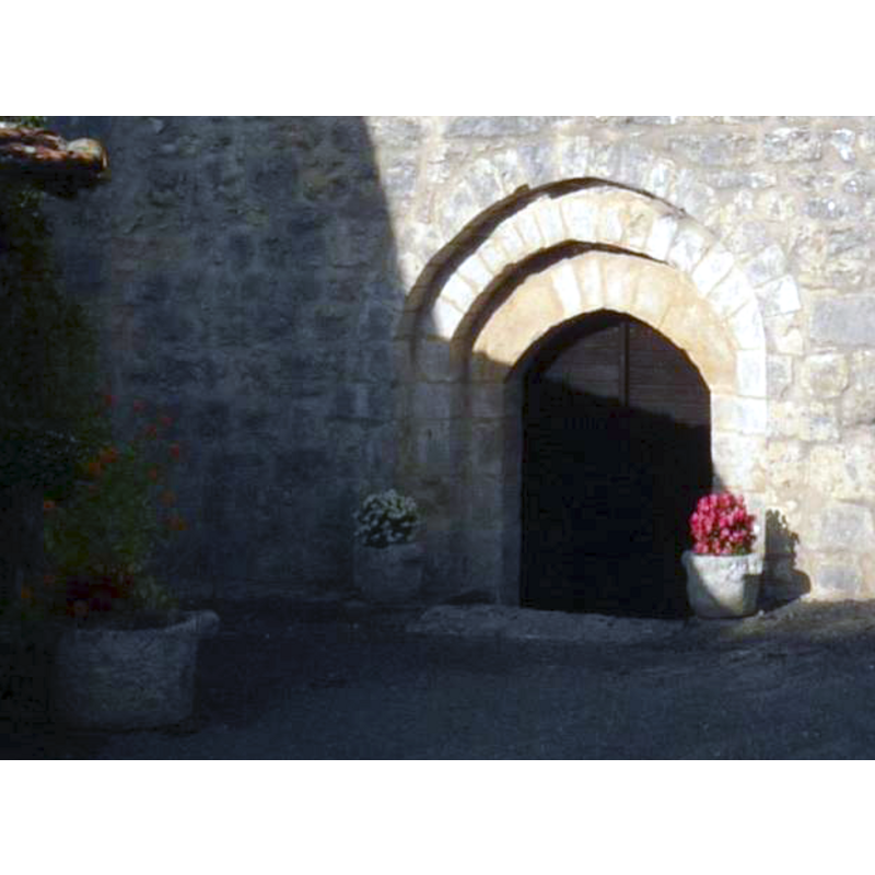
Image copyright © Jack ma, 2010
GFDL / CC-BY-SA-3.0,2.5,2.0,1.0
Results: 3 records
view of church exterior - detail
Scene Description: probably just flower planters
Copyright Statement: Image copyright © Jack ma, 2010
Image Source: detail of a digital photograph taken 2 October 2010 by Jack ma [https://commons.wikimedia.org/wiki/File:Ssruffec_eg2.JPG] [accessed 6 October 2015]
Copyright Instructions: GFDL / CC-BY-SA-3.0,2.5,2.0,1.0
view of church exterior - west façade
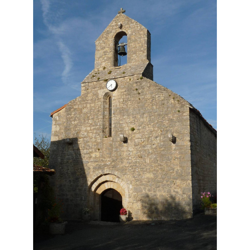
Copyright Statement: Image copyright © Jack ma, 2010
Image Source: digital photograph taken 2 October 2010 by Jack ma [https://commons.wikimedia.org/wiki/File:Ssruffec_eg2.JPG] [accessed 6 October 2015]
Copyright Instructions: GFDL / CC-BY-SA-3.0,2.5,2.0,1.0
view of church exterior - southwest view
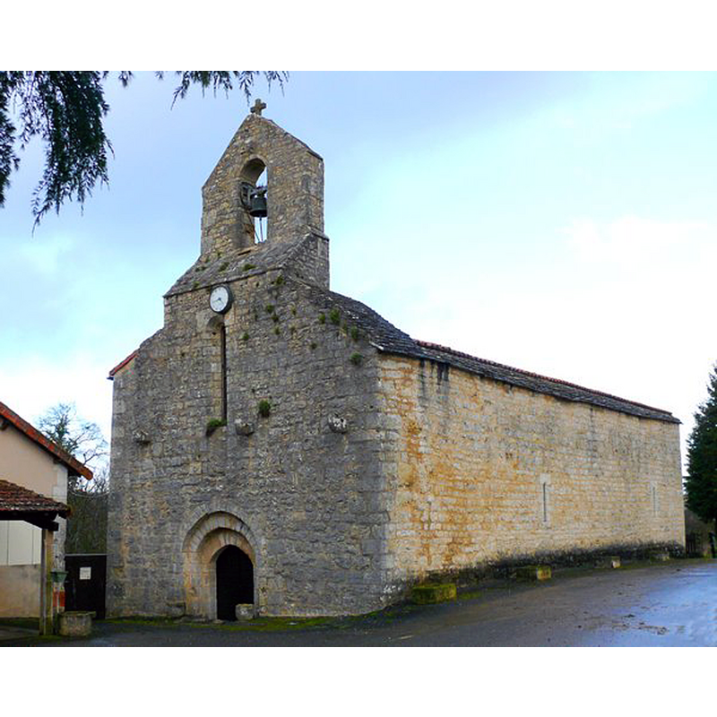
Copyright Statement: Image copyright © P Baudouin, 2015
Image Source: digital photograph in http://gastronomeruffec.wifeo.com/saint-sulpice.php [accessed 6 October 2015]
Copyright Instructions: No known copyright restriction / Fair Dealing
INFORMATION
Font ID: 20057RUF
Object Type: Baptismal Font1?
Font Date: ca. 1150?
Font Century and Period/Style: 12th century (mid?), Romanesque
Church / Chapel Name: Église de Saint-Sulpice
Font Location in Church: [disappeared]
Church Patron Saint(s): St. Sulpicius [aka Sulpitius]
Church Notes: ca.1150 church listed in Mérimée [ref.: PA00104482]
Church Address: 16460 Saint-Sulpice-de-Ruffec, France
Site Location: Charente, Nouvelle-Aquitaine, France, Europe
Directions to Site: Located 16 km S of Ruffec, 35 km N of Angoulême, in the valley of the river Tiarde
Ecclesiastic Region: Diocèse de Poitiers
Additional Comments: disappeared font? (the one from the ca.1150 church here)
Font Notes:
Click to view
[NB: we have no information on the font of the original mid-12th century church here]
COORDINATES
UTM: 31T 291754 5090835
Latitude & Longitude (Decimal): 45.9395, 0.3135
Latitude & Longitude (DMS): 45° 56′ 22.2″ N, 0° 18′ 48.6″ E