Husbands Bosworth / Baresweede / Baresworde / Baresworth / Barrehorde / Basurde / Boresworth / Borisworth
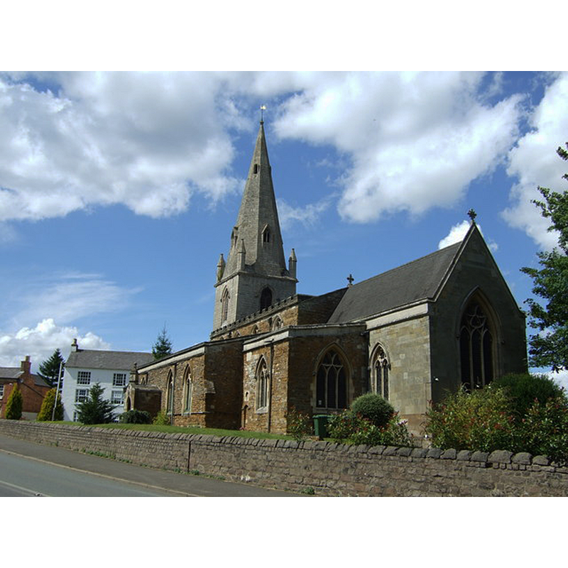
Image copyright © JThomas, 2014
CC-BY-SA-2.0
Results: 1 records
view of church exterior - southeast view
Copyright Statement: Image copyright © JThomas, 2014
Image Source: digital photograph taken 9 August 2014 by JThomas [www.geograph.org.uk/photo/4337134] [accessed 3 September 2015]
Copyright Instructions: CC-BY-SA-2.0
INFORMATION
Font ID: 20036HUS
Object Type: Baptismal Font1?
Font Century and Period/Style: 12th century, Late Norman
Church / Chapel Name: Parish Church of All Saints
Church Patron Saint(s): All Saints
Church Address: High Street, Husbands Bosworth, Leicestershire LE17 6LU
Site Location: Leicestershire, East Midlands, England, United Kingdom
Directions to Site: Located on the A4304, 20 km S of Leicester, near the county border with Nhants.
Ecclesiastic Region: Diocese of Leicester
Historical Region: Hundred of Gartree
Additional Comments: disappeared font? (the one from the 12thC church here)
Font Notes:
Click to view
There are five entries for [Husbands] Bodsworth [variant spelling] in the Domesday survey [http://opendomesday.org/place/SP6484/husbands-bosworth/] [accessed 3 September 2015], none of which mentions cleric or church in it. The Victoria County History (Leicestershire, vol. 5, 1964) notes: "In the early 12th century Robert, the lord of the Hall Fee, gave the church of Husbands Bosworth to Leicester Abbey. [...] The south aisle has much mixed rubble in the masonry and a decayed stone string at sill level. It may date from the 13th century or earlier but subsequent alterations have obliterated any distinctive features." No font mentioned in the VCXH entry. The present font here dates from the mid-19th century renovation of the medieval church.
COORDINATES
UTM: 30U 632309 5813311
Latitude & Longitude (Decimal): 52.45394, -1.052862
Latitude & Longitude (DMS): 52° 27′ 14.18″ N, 1° 3′ 10.3″ W
REFERENCES
- Victoria County History [online], University of London, 1993-. URL: https://www.british-history.ac.uk.