Wigston Magna No. 2 / Great Wigston / Great Wigstone / Wichingestone / Wigston / Wigstone / Wigstone Magna
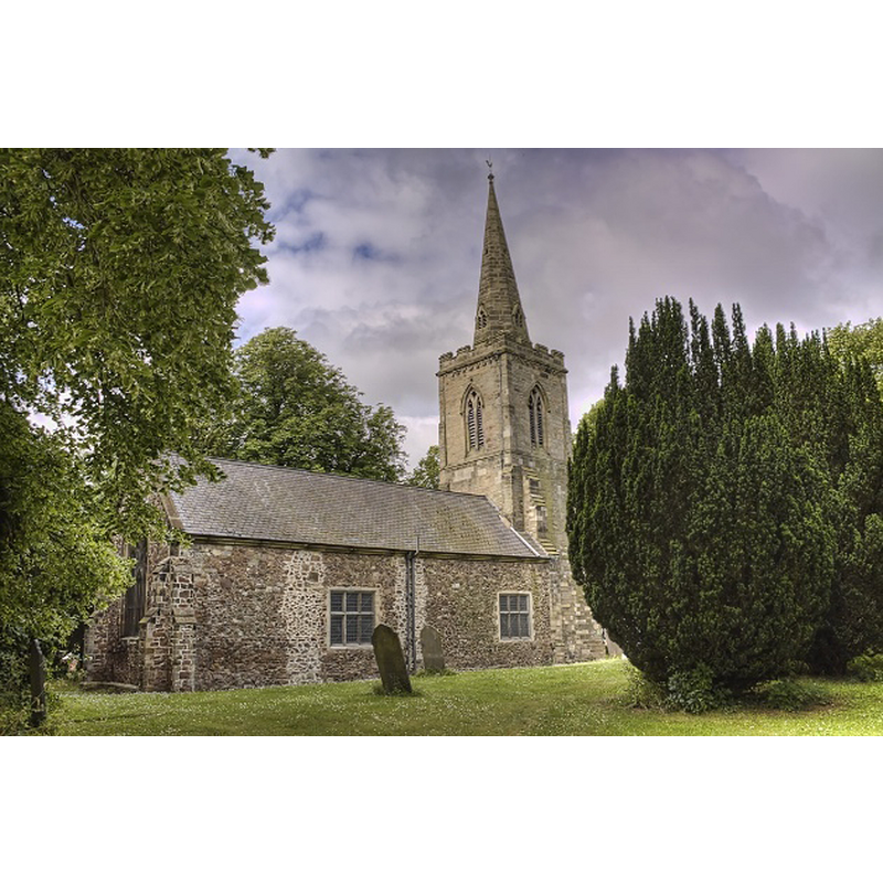
Image copyright © Christopher Jones, 2015
Standing permission
Results: 3 records
view of church exterior - northeast view
Copyright Statement: Image copyright © Christopher Jones, 2015
Image Source: digital photograph taken by Christopher Jones [www.leicestershirechurches.co.uk/wigston-magna-st-wistans/] [accessed 28 August 2015]
Copyright Instructions: Standing permission
view of church interior - nave - looking west
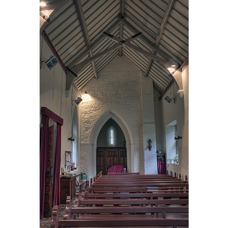
Copyright Statement: Image copyright © Christopher Jones, 2015
Image Source: digital photograph taken by Christopher Jones [www.leicestershirechurches.co.uk/wigston-magna-st-wistans/] [accessed 28 August 2015]
Copyright Instructions: Standing permission
view of church interior - nave - looking east
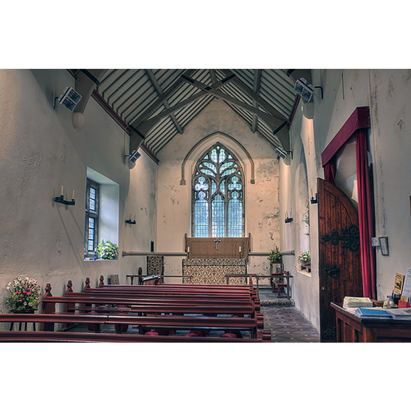
Copyright Statement: Image copyright © Christopher Jones, 2015
Image Source: digital photograph taken by Christopher Jones [www.leicestershirechurches.co.uk/wigston-magna-st-wistans/] [accessed 28 August 2015]
Copyright Instructions: Standing permission
INFORMATION
Font ID: 20023WIG
Object Type: Baptismal Font1?
Font Century and Period/Style: 13th - 14th century, Medieval
Church / Chapel Name: Parish Church of St. Wistan
Church Patron Saint(s): St. Wistan [aka Wigstan]
Church Address: Bullhead Street, Wigston, Leics. LE18 3RU -- Tel,: +44 116 257 0543
Site Location: Leicestershire, East Midlands, England, United Kingdom
Directions to Site: Located on the A5199, in the SE suburbs of Leicester, 8 km from the town centre
Ecclesiastic Region: Diocese of Leicester
Historical Region: Hundred of Guthlaxton
Additional Comments: disappeared font? (the one from the 13th-14thC church/chapel here)
Font Notes:
Click to view
There are two entries for Wigston [Magna] in the Domesday survey [http://opendomesday.org/place/SP6098/wigston-magna/] [accessed 28 August 2015], one of which mentions a priest, but not a church in it, though there probably was one there. St. Wistan's was a 13th-14th century church that, according to Pevsner (ibid.) was "pulled down in the early C17 and not rebuilt until 1853". The entry for this church in English Heritage [Listing NGR: SP6090599144] (1953) notes: "Early C14 tower is all that remains of a church which was demolished in the C17. The rest was rebuilt in 1853 by Walker and Goodacre and restored 1877 by R J & J Goodacre."
Credit and Acknowledgements: We are grateful to Christopher Jones, of Leicestershire Churches [www.leicestershirechurches.co.uk], for his photographs of this church
COORDINATES
UTM: 30U 628140 5828337
Latitude & Longitude (Decimal): 52.589943, -1.108388
Latitude & Longitude (DMS): 52° 35′ 23.8″ N, 1° 6′ 30.2″ W