Stockerston / Stockerstone / Stoctone
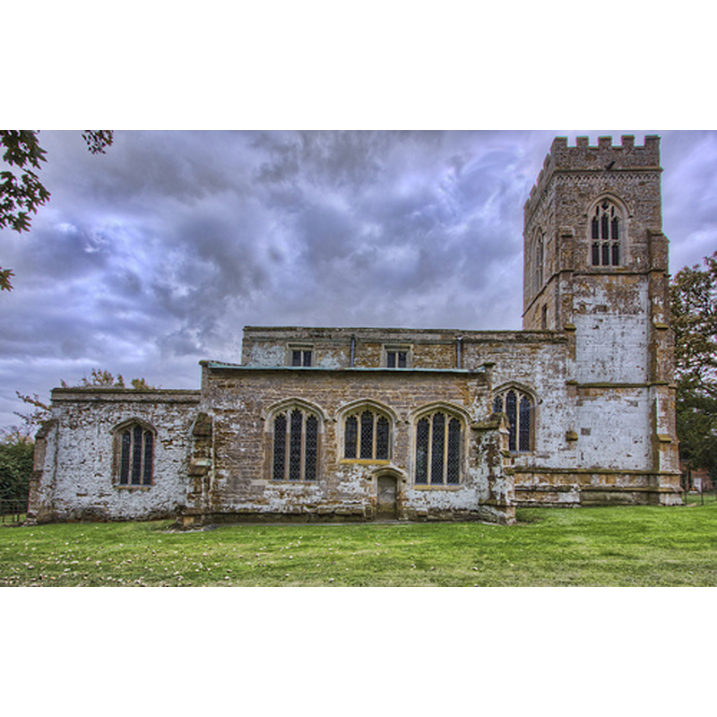
Image copyright © Christopher Jones, 2015
Standing permission
Results: 3 records
view of church exterior - north view
Copyright Statement: Image copyright © Christopher Jones, 2015
Image Source: digital photograph taken by Christopher Jones, in Leicestershire Churches [www.leicestershirechurches.co.uk/stockerston-church-st-peter/] [accessed 7 October 2015]
Copyright Instructions: Standing permission
view of church exterior - southeast view
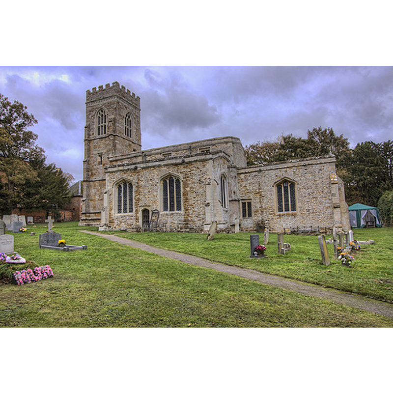
Scene Description: N//A
Copyright Statement: Image copyright © Christopher Jones, 2015
Image Source: digital photograph taken by Christopher Jones, in Leicestershire Churches [www.leicestershirechurches.co.uk/stockerston-church-st-peter/] [accessed 7 October 2015]
Copyright Instructions: Standing permission
view of church interior - nave - looking east
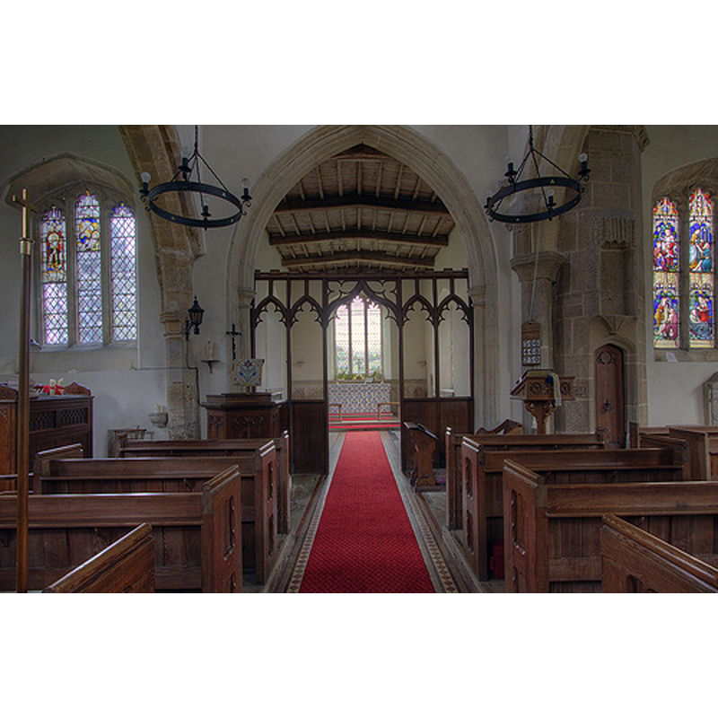
Copyright Statement: Image copyright © Christopher Jones, 2015
Image Source: digital photograph taken by Christopher Jones, in Leicestershire Churches [www.leicestershirechurches.co.uk/stockerston-church-st-peter/] [accessed 7 October 2015]
Copyright Instructions: Standing permission
INFORMATION
Font ID: 20017STO
Object Type: Baptismal Font1, fragment
Font Date: ca. 1400?
Font Century and Period/Style: 14th - 15th century, Medieval
Church / Chapel Name: Parish Church of St. Peter
Font Location in Church: Inside the church [cf. FontNotes]
Church Patron Saint(s): St. Peter
Church Address: Church Lane, Stockerston, Leicestershire LE15 9JD
Site Location: Leicestershire, East Midlands, England, United Kingdom
Directions to Site: Located 26 km ESE of Leicester, at the border with Rutland
Ecclesiastic Region: Diocese of Leicester
Historical Region: Hundred of Gartree
Additional Comments: damaged font / broken font (only a broken basin of ca.1400 remains) -- disappeared font? (the one from the ca.1220 church here)
Font Notes:
Click to view
There are two entries for Stockerstone [variant spelling] in the Domesday survey [http://opendomesday.org/place/SP8397/stockerston/] [accessed 26 August 2015], neither of which mentions cleric or church in it. The Victoria County History (Leicestershire, vol. 5, 1964) notes: "Stockerston church is first mentioned in 1220. [...] The earliest features in the church, the north and south nave arcades, each of two bays, date from the later 13th century. [...] A general restoration of the church was undertaken in 1887 by G. C. Fenwicke [...] A broken octagonal font bowl of c. 1400 lies in the north aisle." The entry for this church in English Heritage [Listing NGR: SP8337897500] (1966) reports a "c1400 broken octagonal bowl font." The font in use is Victorian.
Credit and Acknowledgements: We are grateful to Christopher Jones, of Leicestershire Churches [www.leicestershirechurches.co.uk], for his photographs of this church
COORDINATES
UTM: 30U 651069 5826655
Latitude & Longitude (Decimal): 52.568942, -0.770935
Latitude & Longitude (DMS): 52° 34′ 8.19″ N, 0° 46′ 15.37″ W
MEDIUM AND MEASUREMENTS
Material: stone
Font Shape: octagonal, fragment
Basin Exterior Shape: octagonal
REFERENCES
- Victoria County History [online], University of London, 1993-. URL: https://www.british-history.ac.uk.