Stanton-under-Bardon / Stantone
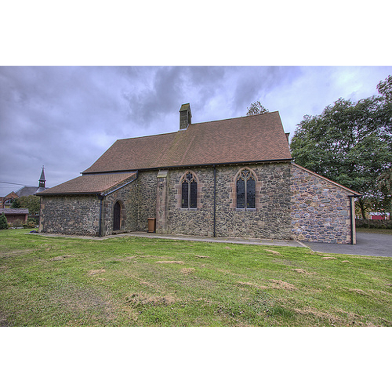
Image copyright © Christopher Jones, 2015
Standing permission
Results: 2 records
view of church exterior - south view
Copyright Statement: Image copyright © Christopher Jones, 2015
Image Source: digital photograph taken by Christopher Jones, in Leicestershire Churches [www.leicestershirechurches.co.uk/stanton-under-bardon-st-mary-all-saints/] [accessed 6 October 2015]
Copyright Instructions: Standing permission
view of church interior - nave - looking west
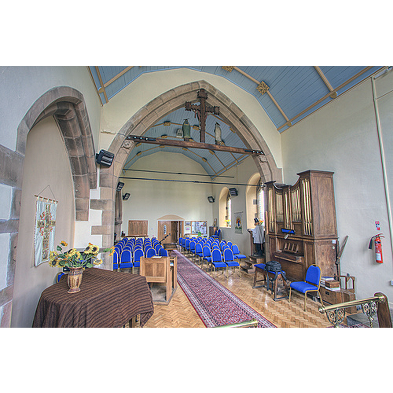
Scene Description: The figure in the pulpit is a dummy with a flower pot on its head.
Copyright Statement: Image copyright © Christopher Jones, 2015
Image Source: digital photograph taken by Christopher Jones, in Leicestershire Churches [www.leicestershirechurches.co.uk/stanton-under-bardon-st-mary-all-saints/] [accessed 6 October 2015]
Copyright Instructions: Standing permission
INFORMATION
Font ID: 20016STA
Object Type: Baptismal Font1?
Font Century and Period/Style: 16th - 17th century
Church / Chapel Name: Old Chapel [disappeared -- present Church of St. Mary and All Saints]
Church Notes: a chapel-of-ease to Thornton documented here by 1622; last recorded in 1635 as decayed; present church early20thC
Church Address: address of the present church: Main Street, Stanton under Bardon, Leics. LE67 9TR
Site Location: Leicestershire, East Midlands, England, United Kingdom
Directions to Site: Located 2-3 km NW of Thornton, 13 km SW of Loughborough, 15 km NW of Leicester
Ecclesiastic Region: Diocese of Leicester
Historical Region: Hundred of Guthlaxton
Additional Comments: disappeared font? (the one from the disappeared chapel?)
Font Notes:
Click to view
There is an entry for Stanton [-under-Bardon] [variant spelling] in the Domesday survey [http://opendomesday.org/place/SK4610/stanton-under-bardon/] [accessed 26 August 2015] but it mentions neither cleric nor church in it. [NB: we have no information on the font of the 1622 chapel-of-ease here]
COORDINATES
UTM: 30U 613991 5838843
Latitude & Longitude (Decimal): 52.687501, -1.313521
Latitude & Longitude (DMS): 52° 41′ 15.01″ N, 1° 18′ 48.68″ W