Huncote / Honecote / Hountecote
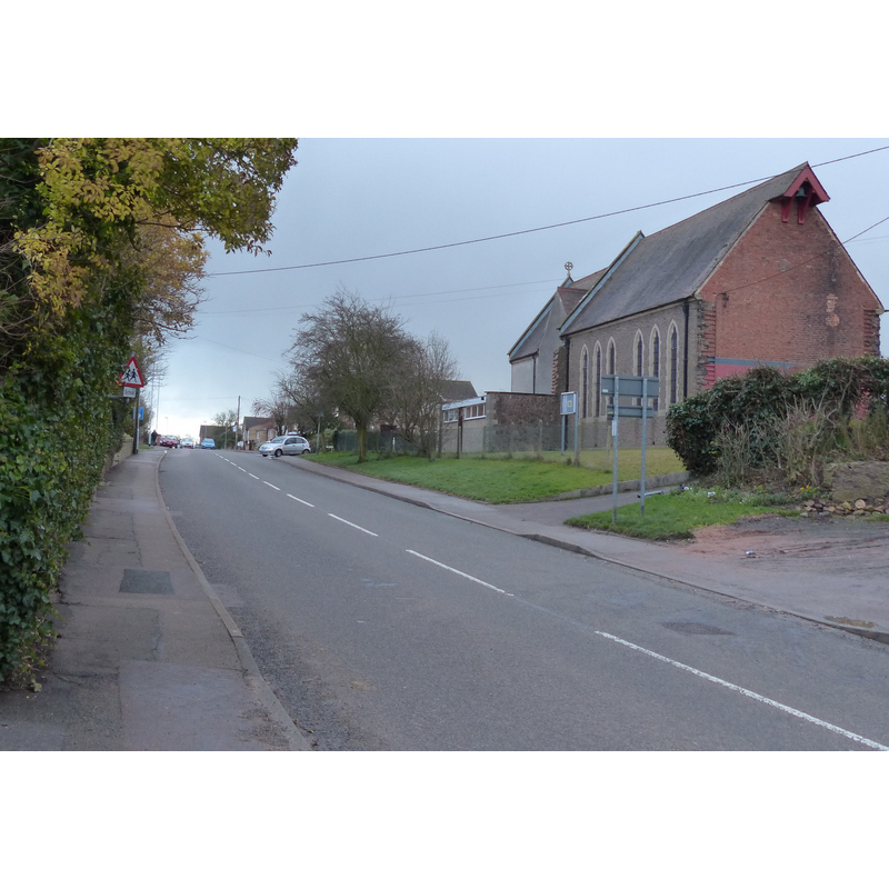
Image copyright © Mat Fascione, 2013
CC-BY-SA-2.0
Results: 1 records
view of church exterior in context
Scene Description: Source caption: "Narborough Road in Huncote. On the right is St James the Greater church" [i.e., the modern church]
Copyright Statement: Image copyright © Mat Fascione, 2013
Image Source: digital photograph taken 22 December 2013 by Mat Fascione [www.geograph.org.uk/photo/4191055] [accessed 13 August 2015]
Copyright Instructions: CC-BY-SA-2.0
INFORMATION
Font ID: 19988HUN
Object Type: Baptismal Font1?
Font Century and Period/Style: 11th century, Pre-Conquest? / Norman
Church / Chapel Name: Chapel of St. James [chapel of ease to Narbotough] [disappeared]
Church Patron Saint(s): St. James the Greater [aka James the Great, James the Elder]
Church Address: Narborough Road, Huncote, Leicestershire, LE9 3AW -- Tel.: 0116 275 0388
Site Location: Leicestershire, East Midlands, England, United Kingdom
Directions to Site: Located off B4114, SW of Enderby, 2 km W of Narborough, 9 km SW of Leicester [NB: the excavated ruins of the old chapel were located on the site of Hall Farm, Cheney End, Huncote]
Ecclesiastic Region: Diocese of Leicester
Historical Region: Hundred of Guthlaxton [in Domesday] -- Hundred of Sparkenhoe
Additional Comments: disappeared font? (the one from the disappeared Domesday-time chapel here)
Font Notes:
Click to view
There is an entry for Huncote [variant spelling] in the Domesday survey [http://opendomesday.org/place/SP5197/huncote/] [accessed 13 August 2015]; it mentions a priest, but not a church in it, though there probably was one there. A chapel dedicated to St. James in Huncote is reported in Campbell's Rerum Britannicarum Medii Aevi Scriptores: Or ..., (vol. 60, Issue 2, 1877: 467). A report by Patrick Clay, of the Archaeological Unit, Leicestershire, to the Transactions of the Leicestershire Archaeology and History Society [www.leicestershirevillages.com/uploads/clayvolumelxv_2sm1.pdf] [accessed 13 August 2015], notes the excavation of a "very substantial" building believed to have been a chapel of ease to nearby Narborough parish church; the excavated site lies about 50 m. southeast of the present Church of St. James the Greater, a Victorian building of 1898; Clay (ibid.) notes that the first recorded reference to the old chapel is dated to 1143, when it was donated to Leicester Abbey; the chapel was reported "ruinated and decayed" in 1622. Clay (ibid.) notes a reference by locals collected in The Leicester Mercury of 1954 "that the ruins of the chapel were still visible in the early 19th century". Clay (ibid.) further suggests that some of the granite used in the Victorian church of St. James may well have been part of the foundations of the old chapel. The Record Office for Leicestershire, Leicester & Rutland has registers of baptisms from 1599.
COORDINATES
UTM: 30U 619440 5826016
Latitude & Longitude (Decimal): 52.571067, -1.237582
Latitude & Longitude (DMS): 52° 34′ 15.84″ N, 1° 14′ 15.29″ W