Tinwell / Tedinwelle / Tidenwelle / Tineguella / Tinewell / Tynewell / Tynwell
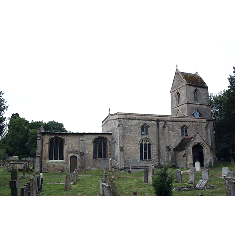
Image copyright © Richard Croft, 2006
CC-BY-SA-2.0
Results: 2 records
view of church exterior - northeast view
Copyright Statement: Image copyright © Richard Croft, 2006
Image Source: digital photograph taken 3 August 2006 by Richard Croft [www.geograph.org.uk/photo/213940] [accessed 23 July 2015]
Copyright Instructions: CC-BY-SA-2.0
view of church exterior - southeast view
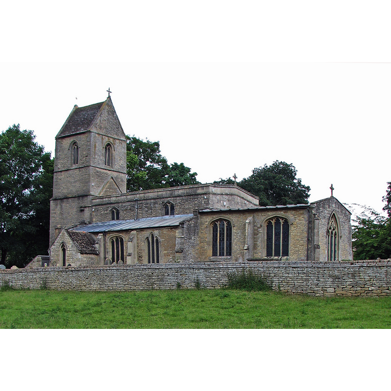
Copyright Statement: Image copyright © John Sutton, 2013
Image Source: digital photograph taken 2 July 2013 by John Sutton [www.geograph.org.uk/photo/3542489] [accessed 23 July 2015]
Copyright Instructions: CC-BY-SA-2.0
INFORMATION
Font ID: 19949TIN
Object Type: Baptismal Font1?
Font Century and Period/Style: 12th century, Late Norman
Church / Chapel Name: Parish Church of All Saints
Church Patron Saint(s): All Saints
Church Address: Main Street, Tinwell, Unknown, PE9 3UD
Site Location: Rutland, East Midlands, England, United Kingdom
Directions to Site: Located on the A6121, E of Stamford
Ecclesiastic Region: Diocese of Peterborough
Historical Region: Hundred of Witchley [in Domesday] -- East Hundred
Additional Comments: disappeared font? (the one from the 12thC church here)
Font Notes:
Click to view
There is an entry for Tinwell [variant spelling] in the Domesday survey [http://opendomesday.org/place/TF0006/tinwell/] [accessed 23 July 2015], but it mentions neither cleric nor church in it. The Victoria County History (Rutland, vol. 2, 1935) notes: "The church of Tinwell is mentioned as belonging to the monastery of Peterborough in the spurious charter of Wulfhere (664), already referred to, which was confirmed by Henry III and Edward II. It is also mentioned in the Privileges of Pope Eugenius (1145– 53) [...] and from architectural evidence the church here referred to may have been the first on the site. [...] The nave arcade, south aisle, chancel arch and the west window of the former north aisle are of the first half of the 13th century and probably represent a rebuilding at that period of a 12th-century aisleless church no portion of which now remains except possibly at the west end of the nave. [...] The font dates from 1894 [...] The font is in memory of Emma Everett (d. 1893)." This 19th-century font is located at the west end of the nave".
COORDINATES
UTM: 30U 668147 5835692
Latitude & Longitude (Decimal): 52.6451, -0.5146
Latitude & Longitude (DMS): 52° 38′ 42.36″ N, 0° 30′ 52.56″ W
REFERENCES
- Victoria County History [online], University of London, 1993-. URL: https://www.british-history.ac.uk.