Bisbrooke / Bisbrok / Bissebrok / Bitlesbroch / Bitlesbrok / Butlesbrok / Butlisbroke / Bytlesbrok / Pysbroke
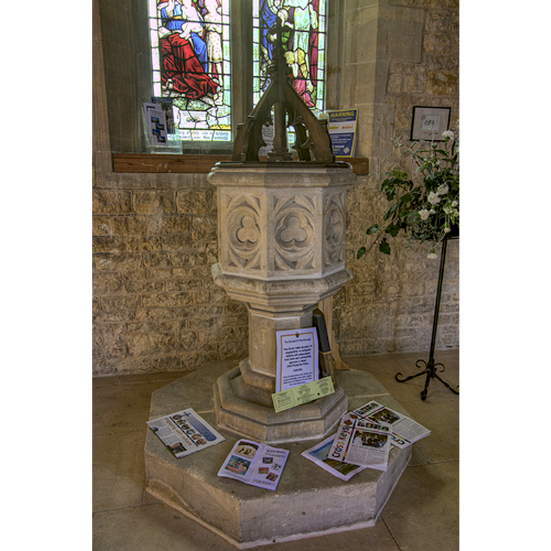
Image copyright © Christopher Jones, 2015
Standing permission
Results: 5 records
view of font and cover
Scene Description: the modern font
Copyright Statement: Image copyright © Christopher Jones, 2015
Image Source: digital photograph taken by Chris Jones [www.leicestershirechurches.co.uk/bisbrooke-church-st-john-the-baptist/] [accessed 20 July 2015]
Copyright Instructions: Standing permission
view of church exterior - northwest view
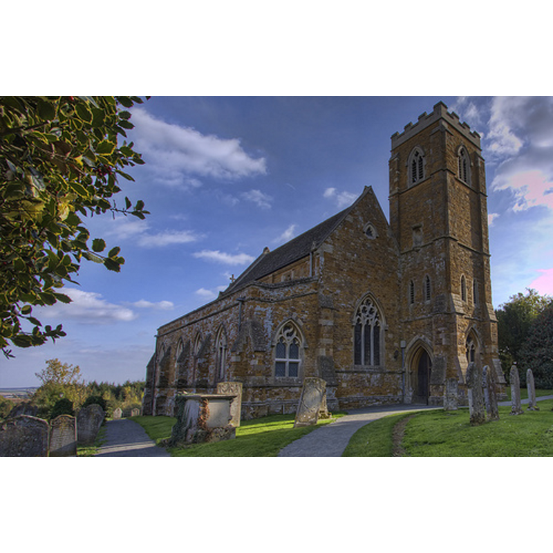
Scene Description: the modern church
Copyright Statement: Image copyright © Christopher Jones, 2015
Image Source: digital photograph taken by Chris Jones [www.leicestershirechurches.co.uk/bisbrooke-church-st-john-the-baptist/] [accessed 20 July 2015]
Copyright Instructions: Standing permission
view of church exterior - south view
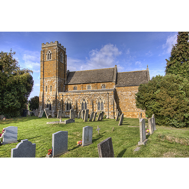
Scene Description: the modern church
Copyright Statement: Image copyright © Christopher Jones, 2015
Image Source: digital photograph taken by Chris Jones [www.leicestershirechurches.co.uk/bisbrooke-church-st-john-the-baptist/] [accessed 20 July 2015]
Copyright Instructions: Standing permission
view of church exterior - southwest view
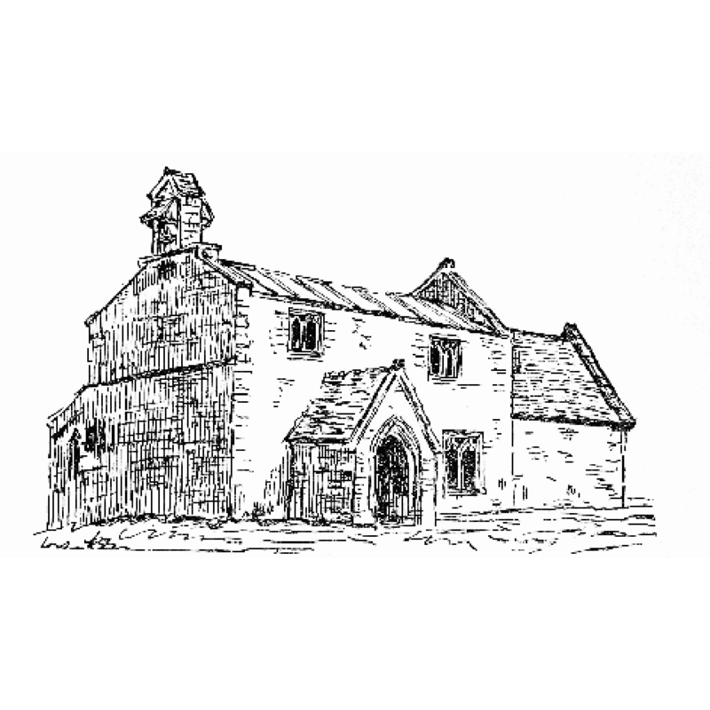
Scene Description: Source caption: "Sketch of Bisbrooke Old Church, now demolished."
Copyright Statement: Image copyright © [in the public domain]
Image Source: Drawing [www.british-history.ac.uk/sites/default/files/publications/pubid-528/images/fig167.gif] [accessed 20 July 2015]
Copyright Instructions: No known copyright restriction / Fair Dealing
view of church interior - nave - looking east
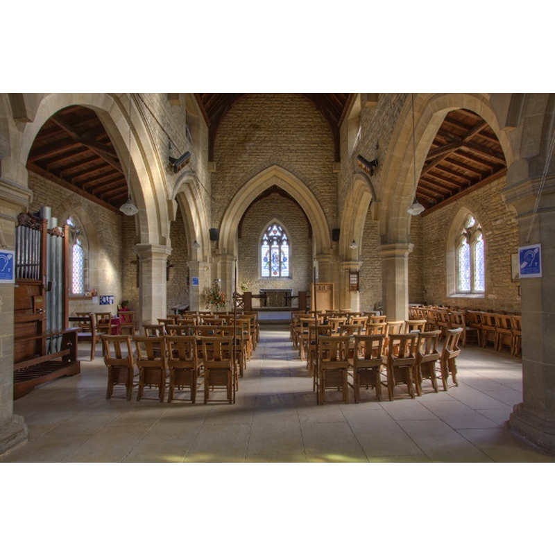
Scene Description: the modern church
Copyright Statement: Image copyright © Christopher Jones, 2015
Image Source: digital photograph taken by Chris Jones [www.leicestershirechurches.co.uk/bisbrooke-church-st-john-the-baptist/] [accessed 20 July 2015]
Copyright Instructions: Standing permission
INFORMATION
Font ID: 19944BIS
Object Type: Baptismal Font1?
Font Date: ca. 1110?
Font Century and Period/Style: 12th century (early?), Norman
Church / Chapel Name: Parish Church of St. John the Baptist
Church Patron Saint(s): St. John the Baptist
Church Address: Church Lane, Bisbrooke, Rutland, LE15 9EL
Site Location: Rutland, East Midlands, England, United Kingdom
Directions to Site: Located off (S) the A47/Uppingham Rd, 3 km WSW of Uppingham
Ecclesiastic Region: Diocese of Peterborough
Historical Region: Hundred of Witchley [in Domesday] -- Hundred of Wrandike
Additional Comments: disappeared font? (the one from the ca. 1110 church here)
Font Notes:
Click to view
There are two entries for Bisbrooke [variant spelling] in the Domesday survey [http://opendomesday.org/place/SP8899/bisbrooke/] [accessed 20 July 2015], neither of which mentions cleric or church in it. The Victoria County History (Rutland, vol. 2, 1935) notes: "Robert, the son of Viel Palfrey, granted the church of Bisbrooke in 1110 to Osbert, Prior of Daventry, and the monks there [...] The church [...] was rebuilt in 1871 and, though incorporating a little old work from the structure then pulled down, is a modern building in the style of the 14th century. The old church consisted of a chancel, clearstoried nave of three bays, north aisle, and south porch, and had a bell-cote over the west gable. It appears to have been mainly of 13th-century date, but new windows had been inserted in the 14th century, and ten years before its demolition the building was described as being in a very neglected state. [...] The font and pulpit and all the fittings are modern." The modern font is in the general style of the 14th-century font design, with deeply carved panels on the sides.
Credit and Acknowledgements: We are grateful to Christopher Jones, of Leicestershire Churches [www.leicestershirechurches.co.uk], for his photographs of this modern church and modern font
COORDINATES
UTM: 30U 656343 5828731
Latitude & Longitude (Decimal): 52.5861, -0.6922
Latitude & Longitude (DMS): 52° 35′ 9.96″ N, 0° 41′ 31.92″ W