Ayston / Adelstanestone / Aiston / Ashton / Aston / Astonestone / Atheston / Ayson
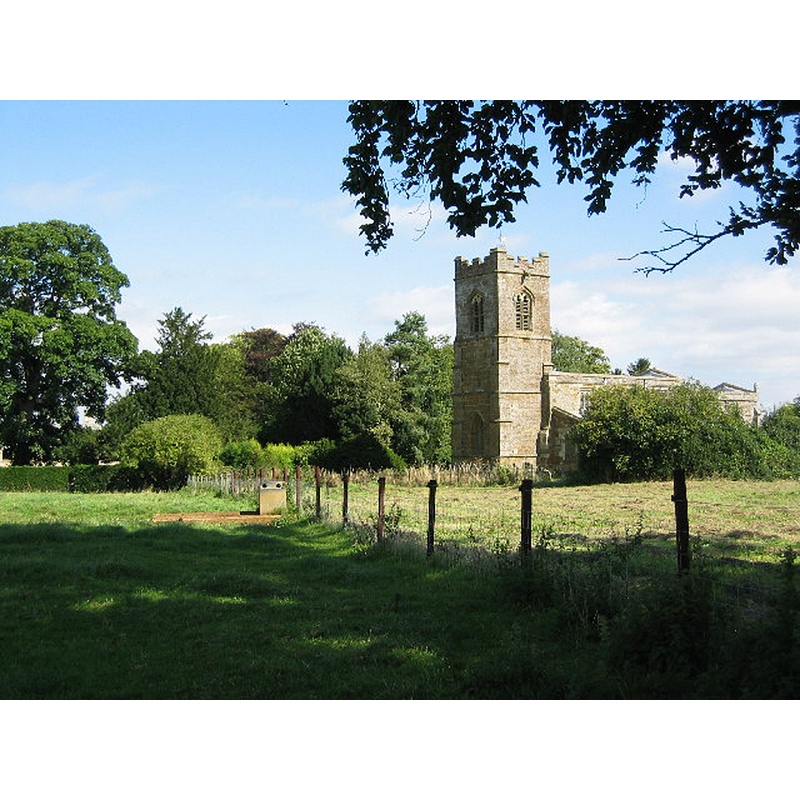
Image copyright © Kate Jewell, 2005
CC-BY-SA-2.0
Results: 2 records
view of church exterior - southwest view
Copyright Statement: Image copyright © Kate Jewell, 2005
Image Source: digital photograph taken 29 August 2005 by Kate Jewell [www.geograph.org.uk/photo/45201] [accessed 14 July 2015]
Copyright Instructions: CC-BY-SA-2.0
view of church interior - nave - looking east
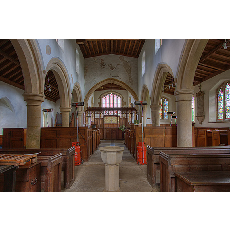
Scene Description: with the modern font in the foreground
Copyright Statement: Image copyright © Chris Jones, 2015
Image Source: digital photograph taken by Chris Jones [www.leicestershirechurches.co.uk/ayston-church-st-mary-the-virgin/] [accessed 14 July 2015]
Copyright Instructions: Standing permission
INFORMATION
Font ID: 19935AYS
Object Type: Baptismal Font1
Church / Chapel Name: Parish Church of St. Mary the Virgin [redundant since 2012]
Church Patron Saint(s): St. Mary the Virgin
Church Notes: Last service held at this church 4 August 2012; now redundant and in the care of The Churches Conservation Trust since April 2014
Church Address: Ayston, Rutland, LE15 9AE
Site Location: Rutland, East Midlands, England, United Kingdom
Directions to Site: Located at the A47-A6003 crossroads, 2 km NW of Uppingham
Ecclesiastic Region: Diocese of Peterborough
Historical Region: Hundred of Martinsley
Additional Comments: disappeared font? (the one from the 12thC church here)
Font Notes:
Click to view
No entry for Ayston found in the Domesday survey. The Victoria County History (Rutland, vol. 2, 1935) notes: "The living is a rectory, and from 1229, the date of the first known institution, the advowson has descended with the manor. [...] The north aisle and arcade are of 13th-century date, but appear to have been additions to an aisleless 12thcentury building, the north-west angle of which still remains. [...] The 18th-century font has a small incurved bowl on a stem with moulded base." That modern font is located at the west end of the nave, by the tower arch.
Credit and Acknowledgements: We are grateful to Christopher Jones, of Leicestershire Churches [www.leicestershirechurches.co.uk], for his photograph of this church
COORDINATES
UTM: 30U 653566 5830157
Latitude & Longitude (Decimal): 52.5997, -0.7325
Latitude & Longitude (DMS): 52° 35′ 58.92″ N, 0° 43′ 57″ W
REFERENCES
- Victoria County History [online], University of London, 1993-. URL: https://www.british-history.ac.uk.