Barrow / Barrow nr. Much Wenlock
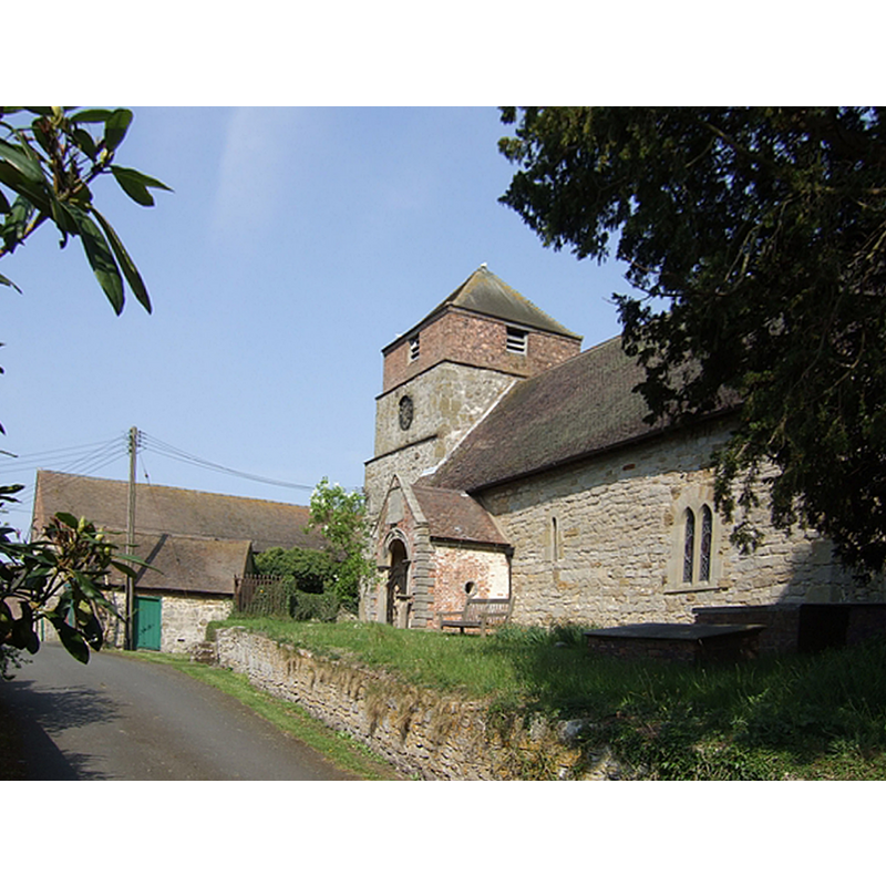
Image copyright © John M, 2007
CC-BY-SA-2.0
Results: 1 records
view of church exterior - southeast view
Copyright Statement: Image copyright © John M, 2007
Image Source: digital photograph taken 28 April 2007 by John M [www.geograph.org.uk/photo/415898] [accessed 6 July 2015]
Copyright Instructions: CC-BY-SA-2.0
INFORMATION
Font ID: 19931BAR
Object Type: Baptismal Font1
Church / Chapel Name: Parish Church of St. Giles
Church Patron Saint(s): St. Giles [aka Aegidus, Egidus, Gilles]
Church Address: B4376, Barrow, Shropshire TF12 5BW
Site Location: Shropshire, West Midlands, England, United Kingdom
Directions to Site: Located on the B4376, 3 km E of Much Wenlock, 8 km S of Telford, between Ironbridge and Much Wenlock
Ecclesiastic Region: Diocese of Hereford
Historical Region: Hundred of Munslow, Liberty and Borough of Wenlock
Additional Comments: disappeared font? (the one of the early- or mid-11th century church here [cf. FontNotes])
Font Notes:
Click to view
No entry found in the Domesday survey for this Barrow. The Victoria County History (Shropshire, vol. 10, 1998) notes: "Barrow was part of the large parish of Holy Trinity, Much Wenlock. Probably by the mid 11th century the minster at Much Wenlock had built a chapel at Barrow. [...] By 1277 Wenlock priory was presenting a rector of Barrow chapel [...] who presumably received the tithes of Barrow. In 1283 the priory reasserted Wenlock's ancient parochial rights and the rector was reduced to the status of chaplain, owing dues to the vicar of Much Wenlock, who was declared to have cure of souls in Barrow. [...] The church of St. Giles, so dedicated by c. 1740 [...] comprises chancel, nave, north chapel, south porch, and west tower. The chancel, 5.74 by 3.88 m. internally, may date from the early or mid 11th century"; no font mentioned. A plain modern font is located by the west entranceway. [NB: we have no information on the font of the early- or mid-11th century church here].
COORDINATES
UTM: 30U 533427 5827500
Latitude & Longitude (Decimal): 52.5965, -2.5065
Latitude & Longitude (DMS): 52° 35′ 47.4″ N, 2° 30′ 23.4″ W
REFERENCES
- Victoria County History [online], University of London, 1993-. URL: https://www.british-history.ac.uk.