Earley / Erlegh / Erleigh / Herlei
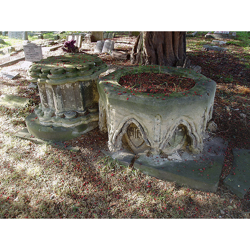
Image copyright © [s.n., s.d.]
No known copyright restriction / Fair Dealing
Results: 2 records
view of font in context
Scene Description: the disused font in the churchyard
Copyright Statement: Image copyright © [s.n., s.d.]
Image Source: digital photograph [https://farm7.staticflickr.com/6039/6329783333_710cf4a7f2.jpg] [accessed 4 May 2015]
Copyright Instructions: No known copyright restriction / Fair Dealing
view of church exterior - southwest view
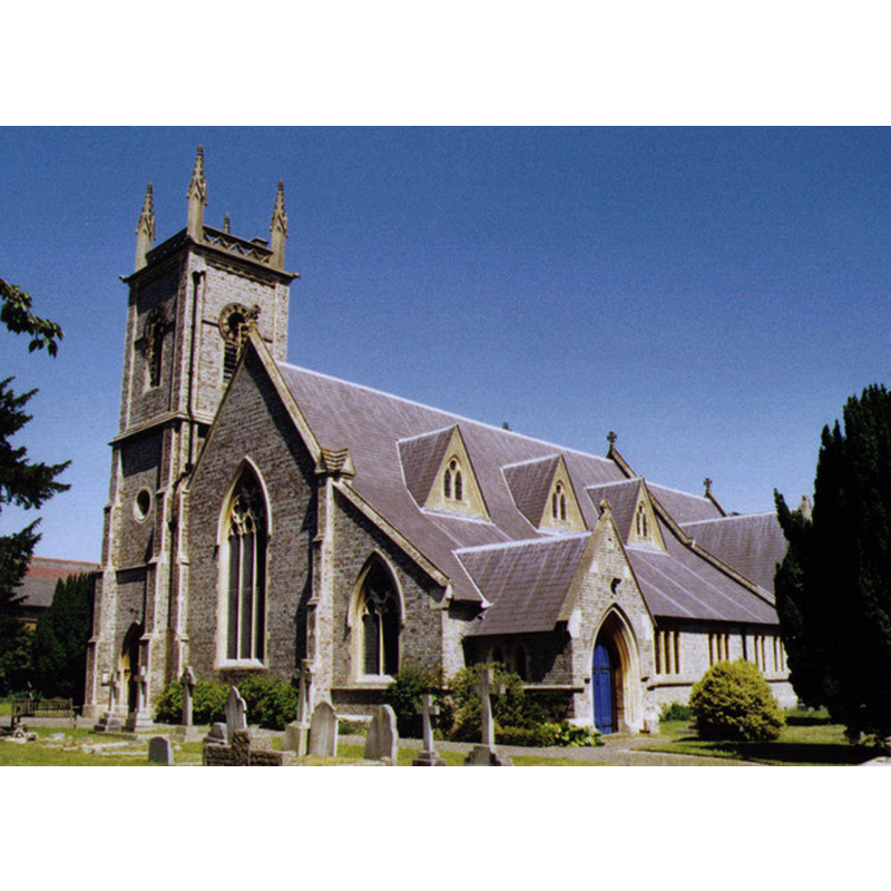
Scene Description: Source caption: "St Peter, Earley. Grade 2 listed building erected in 1844."
Copyright Statement: Image copyright © Michael Ford, 2006
Image Source: photograph taken in 2006 by Michael Ford [www.geograph.org.uk/photo/1525436] [accessed 4 May 2015]
Copyright Instructions: CC-BY-SA-2.0
INFORMATION
Font ID: 19858EAR
Object Type: Baptismal Font1
Font Date: 1844?
Font Century and Period/Style: 19th century (mid?), Victorian
Church / Chapel Name: Parish Church of St. Peter
Font Location in Church: Outside the church, in the chuchyard
Church Patron Saint(s): St. Peter
Church Notes: church of 1844; no earlier church here
Church Address: Church Road, Earley, Reading RG6 1EY -- Tel.: +44 0118 966 8575
Site Location: Berkshire, South East, England, United Kingdom
Directions to Site: Located 3 km SE of Reading
Ecclesiastic Region: Diocese of Oxford
Historical Region: Hundred of Charldon [in Domesday]
Additional Comments: disused font (now a planter in the churchyard)
Font Notes:
Click to view
There are two entries for Earley [variant spelling] in the Domesday survey [http://opendomesday.org/place/SU7572/earley/] [accessed 4 May 2015], but neither mentions cleric or church in it. The baptismal font of the mid-19th century church here is now disused, removed to the churchyard; it is of general 13th-century design, with an open arcade of trefoiled arches showing chaged shields inside; the basin sides overhand a pedestal base of clustered colonnettes around a central shaft. The font is now in the churchyard, dismounted, the basin serving as planter.
COORDINATES
UTM: 30U 643924 5701174
Latitude & Longitude (Decimal): 51.443447, -0.929012
Latitude & Longitude (DMS): 51° 26′ 36.41″ N, 0° 55′ 44.44″ W