Cookham / Coccham / Cocham / Cocheham / Cokam / Cokeham / Cokham / Kocham
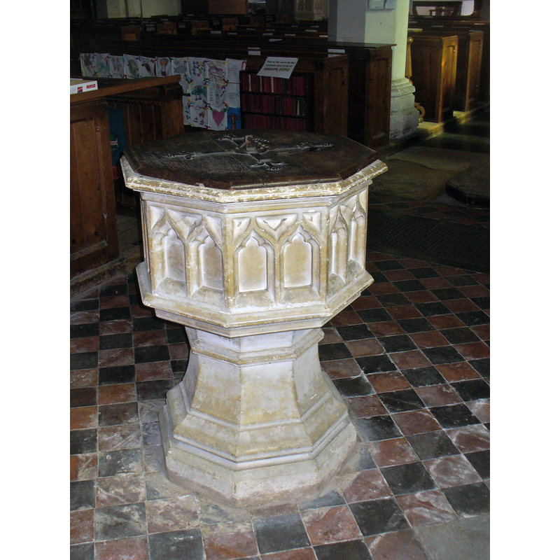
Image copyright © Colin Smith, 2014
Image and permission received (e-mail of 7 March 2015)
Results: 4 records
view of font and cover
Scene Description: the modern font and cover [cf. FontNotes]
Copyright Statement: Image copyright © Colin Smith, 2014
Image Source: digital photograph taken 19 October 2014 by Colin Smith
Copyright Instructions: Image and permission received (e-mail of 7 March 2015)
view of church exterior - south view
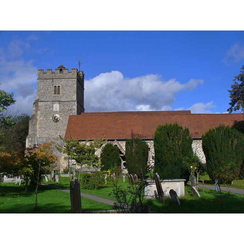
Copyright Statement: Image copyright © Colin Smith, 2014
Image Source: digital photograph taken 19 October 2014 by Colin Smith
Copyright Instructions: Image and permission received (e-mail of 7 March 2015)
view of church exterior in context

Scene Description: the church in the background, left side
view of font and cover in context
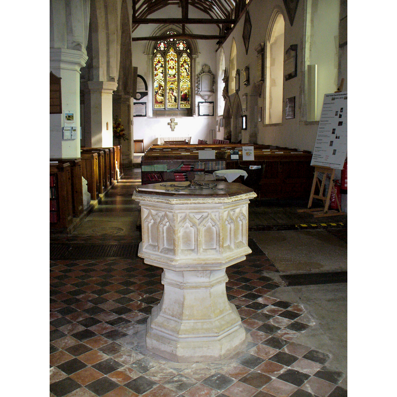
Scene Description: the modern font at the west end
Copyright Statement: Image copyright © Colin Smith, 2014
Image Source: digital photograph taken 19 October 2014 by Colin Smith
Copyright Instructions: Image and permission received (e-mail of 7 March 2015)
INFORMATION
Font ID: 19751COO
Object Type: Baptismal Font1?
Font Century and Period/Style: 11th century, Pre-Conquest? / Norman
Church / Chapel Name: Parish Church of the Holy Trinity
Church Patron Saint(s): The Holy Trinity
Church Address: Ferry Lane, Cookham, Windsor and Maidenhead, Berkshire, SL6 9SN
Site Location: Berkshire, South East, England, United Kingdom
Directions to Site: Located on the A4094, 3 km N of Maidenhead, E of Marlow
Ecclesiastic Region: Diocese of Oxford
Historical Region: Hundred of Beynhurst [in Domesday] -- Hundred of Cookham
Additional Comments: disappeared font? (the one from the Domesday-time church here)
Font Notes:
Click to view
There is an entry for Cookham [variant spelling] in the Domesday survey [http://domesdaymap.co.uk/place/SU8985/cookham/] [accessed 8 March 2015]; it reports one church in it. The Victoria County History (Berkshire, vol. 3, 1923) notes: "There was a church at Cookham in 1086 held by Reinbald the priest, and having two clerks attached. [...] The church with its chapels was given with Reinbald's other possessions to the abbey of Cirencester by Henry I, [...] and had been appropriated to the abbey before 1291 [...] The nave dates from the middle of the 12th century, but the only detail of this period surviving is the north-west window. The chancel was rebuilt about 1200, to which date the north chapel probably belongs, and a few years later the short north aisle was added. Towards the end of the same century the north arcade of the nave, which consists of two independent arches, was rebuilt (the earlier openings being perhaps enlarged), the chancel arch was reconstructed and the south aisle was added. Early in the 14th century the south aisle was continued eastward to form the south chapel. The west tower probably dates from c. 1500"; there is no mention of a font inside Holy Trinity in the VCH entry. The present font at Holy Trinity is modern; it consists of an octagonal moulded basin decorated with a pair of niches or windows on each side as well, raised on a moulded octagonal base. The wooden cover is octagonal and flat, with metal decoration and ring handle; like the font itself, probably 19th-century. The church of St. John the Baptist here was built in 1845 and has a modern font.
COORDINATES
Latitude & Longitude (DMS): 51° 33′ 40.53″ N, 0° 42′ 27.17″ W
REFERENCES
- Victoria County History [online], University of London, 1993-. URL: https://www.british-history.ac.uk.