Harborne in Birmingham / Harborn / Horeborne
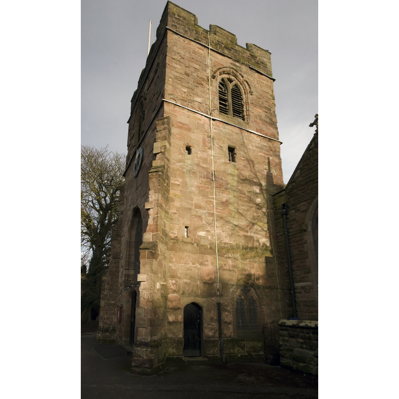
Image copyright © Oosoom, 2008
GFDL / CC-BY-SA-3.0
Results: 2 records
view of church exterior - southwest end
Copyright Statement: Image copyright © Oosoom, 2008
Image Source: digital photograph taken 17 December 2008 by Oosoom [http://commons.wikimedia.org/wiki/File:Harborne_St_Peter_PANOR.jpg] [accessed 26 February 2015]
Copyright Instructions: GFDL / CC-BY-SA-3.0
view of church exterior - northeast view
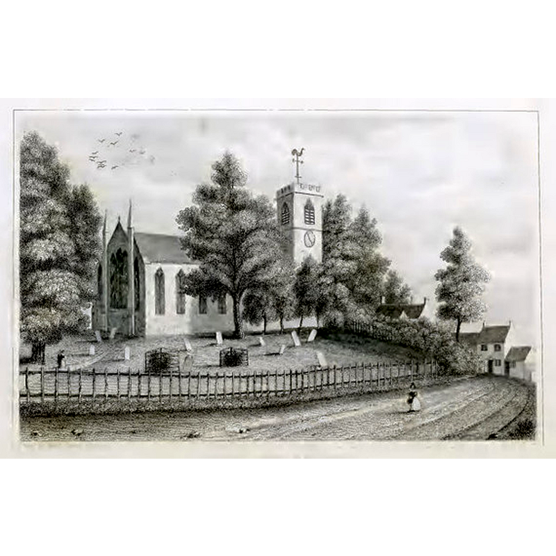
Copyright Statement: Image copyright © [in the public domain]
Image Source: engraving in Dugdale (1835, vol. 2) [www.archive.org/details/englanddelineate02dugduoft] [accessed 26 February 2015]
Copyright Instructions: PD
INFORMATION
Font ID: 19732HAR
Object Type: Baptismal Font1?
Font Century and Period/Style: 13th century, Medieval
Church / Chapel Name: Parish Church of St. Peter
Church Patron Saint(s): St. Peter
Church Notes: preseent church mid-19thC; lower stage of tower pehaps 14thC
Church Address: 19 Vicarage Road, at Old Church Road, Harborne, Birmingham, West Midlands, B17 0BB -- Tel.: 44 121 681 1940
Site Location: West Midlands, West Midlands, England, United Kingdom
Directions to Site: Located 6 km WSW of Birmingham and now part of it
Ecclesiastic Region: Diocese of Birmingham
Historical Region: Hundred of Offlow [in Domesday] -- formerly in Staffordshire and Warwickshire
Additional Comments: disappeared font? (the one from the 13thC (?) church here)
Font Notes:
Click to view
There is an entry for Harborne [variant spelling] in the Domesday survey [http://domesdaymap.co.uk/place/SP0384/harborne/] [accessed 26 February 2015], but it mentions neither cleric nor church in it. The Victoria County Histroy (Warwick, vol. 7, 1964) notes: "Harborne church was not mentioned until the early 13th century [...] The registers of baptisms, burials and marriages begin in 1538, and have gaps"; no font is mentioned in the VCH entry for this church. [NB: we have no information on the font of the 13th-century church here].
COORDINATES
UTM: 30U 570770 5812082
Latitude & Longitude (Decimal): 52.454326, -1.958538
Latitude & Longitude (DMS): 52° 27′ 15.58″ N, 1° 57′ 30.74″ W
REFERENCES
- Victoria County History [online], University of London, 1993-. URL: https://www.british-history.ac.uk.