Ward End
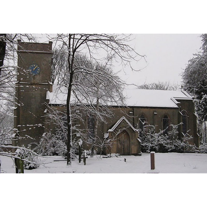
Image copyright © William Dargue, 2015
No known copyright restriction – Fair Dealing
Results: 1 records
view of church exterior - south view
Copyright Statement: Image copyright © William Dargue, 2015
Image Source: digital photograph in William Dargue [www.birminghamhistory.net/author/william-dargue/] [accessed 19 February 2015]
Copyright Instructions: No known copyright restriction – Fair Dealing
INFORMATION
Font ID: 19727WAR
Object Type: Baptismal Font1?
Font Date: ca. 1517?
Font Century and Period/Style: 16th century(early?), Tudor
Church / Chapel Name: Parish Church of the Blessed Virgin Mary and St. Margaret
Church Patron Saint(s): St. Mary the Virgin & St. Margaret
Church Address: 4 Church Walk, Ward End, West Midlands, B8 2HA
Site Location: West Midlands, West Midlands, England, United Kingdom
Directions to Site: Located off the B4114, E of Birmingham city centre, between Saltley, Hodge Hill and Stechford
Ecclesiastic Region: Diocese of Birmingham
Historical Region: Hundred of Coleshill [in Domesday] -- formerly in Warwickshire
Additional Comments: disappeared font? (the one from the 1517 chapel/church here)
Font Notes:
Click to view
No entry found in the Domesday survey for Ward End; it was at the time part of Aston, in the hundred of Coleshill. William Dargue's A hisory of Birmingham places and placenames... from A to Y [http://billdargue.jimdo.com/placenames-gazetteer-a-to-y/places-w/ward-end/] [accessed 19 February 2015] notes: "The name Ward End was used from at least 1460 and was synonymous with Little Bromwich and later for that part of Little Bromwich adjacent to Washwood Heath. As part of Little Bromwich it was a manor of Aston parish until its amalgamation with Birmingham in 1891. [...] A number of old buildings survive on St Margarets Road including St Margaret's Church [...] Dedicated to the Blessed Virgin Mary & St Margaret, the church was built in 1517 at the expence of John Bond. It had fallen into ruin by 1730 [...] the church was completely rebuilt in simple gothic style by Thomas Rickman. It was rededicated in 1834 [...] building was closed as a church due to falling numbers in 2004 and the unoccupied building is again in a poor state of repair. [NB: we have no information on the font of the original early-16th century church here].
COORDINATES
UTM: 30U 580057 5816502
Latitude & Longitude (Decimal): 52.4956, -1.8340