Whitnash / Witenas
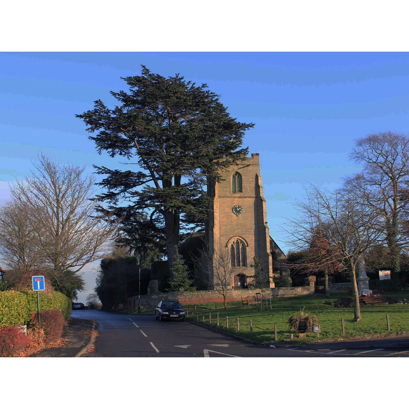
Image copyright © David P Howard, 2010
CC-BY-SA-2.0
Results: 1 records
view of church exterior - west view
Copyright Statement: Image copyright © David P Howard, 2010
Image Source: digital photograph taken 5 December 2010 by Daid P Howard [www.geograph.org.uk/photo/2187012] [accessed 11 February 2015]
Copyright Instructions: CC-BY-SA-2.0
INFORMATION
Font ID: 19718WHI
Object Type: Baptismal Font1?
Font Century and Period/Style: 12th century (early?), Norman
Church / Chapel Name: Parish Church of St. Margaret
Church Patron Saint(s): St. Margaret of Antioch [aka Margaret the Virgin, Marina]
Church Address: Church Lane, Whitnash, Warwickshire CV31 2HF
Site Location: Warwickshire, West Midlands, England, United Kingdom
Directions to Site: Located near Heathcote, SSW of Leamington Spa
Ecclesiastic Region: Diocese of Coventry
Historical Region: Hundred of Stoneleigh [in Domesday] -- Hundred of Knightlow
Font Notes:
Click to view
There is an entry for Whitnash [variant spelling] in the Domesday survey [http://domesdaymap.co.uk/place/SP3263/whitnash/] [accessed 11 February 2015] but there is no mention of cleric or church in it. The Victoria County History (Warwick, vol. 6, 1951) notes: "The church was originally given, between 1121 and 1129, by Lesceline widow of Humfrey the Domesday tenant of Whitnash, to Nostell Priory (Yorks.), [...] but she subsequently made a new grant of it, in conjunction with her husband Ralph de Mare, including 60 acres of land and the priest's manse, [...] to Kenilworth Priory [...] Except for the tower the church has been practically rebuilt within recent times, the chancel in 1855, the aisle in 1867, and the nave in 1880. The old church, judging from a drawing in the Aylesford Collection, consisted of chancel, aisleless nave (both probably of 13th-century origin), and the existing tower, and an 18th-century south porch. [...] The font stands to the west of the south door and is dated 1848." The Victorian font is located west of the south doorway.
COORDINATES
UTM: 30U 600835 5792152
Latitude & Longitude (Decimal): 52.270489, -1.522214
Latitude & Longitude (DMS): 52° 16′ 13.76″ N, 1° 31′ 19.97″ W
REFERENCES
- Victoria County History [online], University of London, 1993-. URL: https://www.british-history.ac.uk.