Stretton-on-Dunsmore / Stratone / Stretton-upon-Dunsmore and Princethorpe / Stretton-upon-Dunsmore
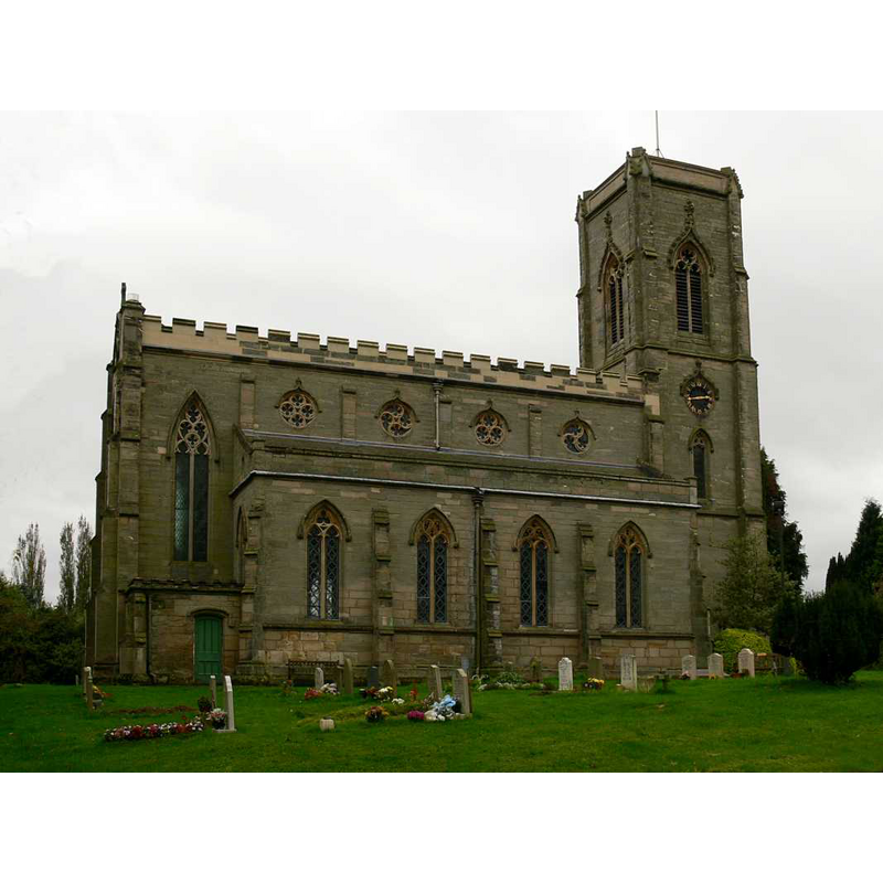
Image copyright © Walwyn, 2008
Standing permission + Creative Commons Licence [http://creativecommons.org/licenses/by-nc-sa/2.0/] [accessed 27 March 2009]
Results: 3 records
view of church exterior - north view
Copyright Statement: Image copyright © Walwyn, 2008
Image Source: digital photograph taken 14 October 2008 by Walwyn [www.flickr.com/photos/overton_cat/2978718891/] [accessed 11 February 2015]
Copyright Instructions: Standing permission + Creative Commons Licence [http://creativecommons.org/licenses/by-nc-sa/2.0/] [accessed 27 March 2009]
view of church interior - nave - looking east
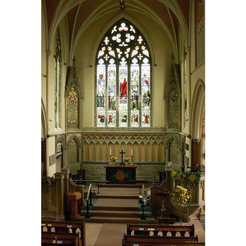
Copyright Statement: Image copyright © Walwyn, 2008
Image Source: digital photograph taken 14 October 2008 by Walwyn [www.flickr.com/photos/overton_cat/2984517768/] [accessed 11 February 2015]
Copyright Instructions: Standing permission + Creative Commons Licence [http://creativecommons.org/licenses/by-nc-sa/2.0/] [accessed 27 March 2009]
view of font and cover
![the modern font ans cover [cf. FontNotes]](/static-50478a99ec6f36a15d6234548c59f63da52304e5/others/permission_not_available.jpg)
Scene Description: the modern font ans cover [cf. FontNotes]
Copyright Statement: Image copyright © jmc4, 2010
Image Source: digital photograph taken 21 September 2010 by jmc4 [www.flickr.com/photos/52219527@N00/5282126125/] [accessed 11 February 2014]
Copyright Instructions: PERMISSION NOT AVAILABLE -- IMAGE NOT FOR PUBLIC USE
INFORMATION
Font ID: 19716STR
Object Type: Baptismal Font1?
Font Century and Period/Style: 12th - 14th century, Medieval
Church / Chapel Name: Parish Church All Saints
Church Patron Saint(s): All Saints
Church Notes: nothing remains of the old pre-1345 church; re-built 1837
Church Address: Church Hill, Stretton, Stretton-on-Dunsmore, Warwickshire, CV23 9NA
Site Location: Warwickshire, West Midlands, England, United Kingdom
Directions to Site: Located off (E) the A423, equidistant, 12-13 km. from Rugby, Leamington, Kenilworth and Coventry
Ecclesiastic Region: Diocese of Coventry
Historical Region: Hundred of Marton [in Domesdya] -- Hundred of Knightlow
Additional Comments: disappeared font? (the one from the pre-1345 church/chapel here)
Font Notes:
Click to view
There is an entry for Stretton[-n-Dunsmore] [variant spelling] in the Domesday survey [http://domesdaymap.co.uk/place/SP4072/stretton-on-dunsmore/] [accessed 11 February 2015], but it mentions neither cleric nor church in it. The Victoria County History (vol. 6, 1951) notes: "Stretton-upon-Dunsmore and Princethorpe [...], which are united for ecclesiastical purposes, [...] were hamlets of Wolston till 1696 [...] There is no mention of a chapel in the Taxatio, but in 1345 Thomas de Wolvardyngton, parson of Lubenham (Leics.), was licensed to alienate 3 messuages, 3 virgates of land, 4 acres of meadow, and 3 of wood, with 20s. rent, in Stretton and Princethorpe, to provide two chaplains to celebrate at the altar of St. Thomas the Martyr in the chapel of All Saints at Stretton [...] The existing church of All SAINTS [...] was completed in 1837 from designs by Rickman, and except for the addition of a choir vestry and a new east window inserted in 1936 as a memorial, it is unaltered. [...] The font, placed under the gallery on the south side of the entrance, is octagonal, with panelled sides, small buttresses at the angles, moulded capping and a circular basin of white enamel." English Heritage [Listing NGR: SP4069172522] (1960) reports: "Octagonal stone font below gallery has cinqfoiled ogee niches, shafts and buttresses." The present font is modern and appears to fit most of the descriptions in the VCH and EH above, but is actually hexagonal [NB: emaild churchwarden asking for confirmation 11 February 2015], of the one-volume type, with deep niches inside the cinquefoiled arch-heads. Wooden cover also hexagonal, low pyramidal with moulded sides and carved top; also modern. The Draycotte Benefice web site [www.draycotegroup.org.uk/stretton.html] [accessed 11 February 2015] notes: "Just before the demolition of the old church, a visiting local historian noted that the building was of Norman origin. The picture of the old church appears to support this. The nave windows appear to be late Norman/early English as does the small bell tower, although this had had a short spire erected on to it later. The building shows further alteration/extension with an aisle being added at a later date in the decorated style." [NB: we have no information on the font from the medieval church here].
COORDINATES
UTM: 30U 608614 5801061
Latitude & Longitude (Decimal): 52.349074, -1.40539
Latitude & Longitude (DMS): 52° 20′ 56.66″ N, 1° 24′ 19.4″ W
REFERENCES
- Victoria County History [online], University of London, 1993-. URL: https://www.british-history.ac.uk.