Stockton nr. Rugby

Image copyright © Ian Rob, 2007
CC-BY-SA-2.0
Results: 3 records
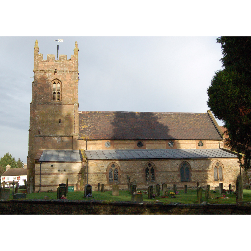
view of church exterior - northwest view
Copyright Statement: Image copyright © Ian Rob, 2007
Image Source: digital photograph taken 26 June 2007 by Ian Rob [www.geograph.org.uk/photo/478047] [accessed 9 February 2015]
Copyright Instructions: CC-BY-SA-2.0
view of church exterior - south view
Copyright Statement: Image copyright © [in the public domain]
Image Source: digital photograph taken 24 July 2011 by Andy F [http://en.wikipedia.org/w/index.php?title=File%3AStocktonChurchWarwickshire.jpg] [accessed 9 February 2015]
Copyright Instructions: Released by its author into the public domain
design element - motifs - moulding


INFORMATION
Font ID: 19710STO
Object Type: Baptismal Font1
Font Century and Period/Style: 14th century [lower base only] [composite font], Decorated [lower base only]
Church / Chapel Name: Parish Church of St. Michael
Font Location in Church: Inside the church
Church Patron Saint(s): St. Michael
Church Address: Rectory Close, Stockton, Warwickshire CV47 8JQ
Site Location: Warwickshire, West Midlands, England, United Kingdom
Directions to Site: Located off (E) the A426, 3 km NE of Southam, 13 km SW of Rugby
Ecclesiastic Region: Diocese of Coventry
Historical Region: Hundred of Knightlow
Additional Comments: altered font (the present one: 19thC font on original 14thC lower base) -- disappeared font? (the one from the 12thC church here[cf. FontNotes])
Font Notes:
Click to view
No entry found in the Domesday survey for this Stockton. The Victoria County History (Warwick, vol. 6, 1951) notes: "The church was given to Hertford Priory, probably by Walter de Somerville, whose wife Cecily (de Limesi) was a descendant of the founder, in the reign of Henry II [i.e., 1154-1189] [...] Except for the 15th-century tower and the 14th-century south wall of the chancel the church is modern. The nave and north aisle were built in 1863, the south aisle in 1873, and the chancel was partly rebuilt in 1809. [...] The font is placed near the west pillar of the north arcade and is modern, on a 14th-century base and probably a copy of the original basin. It is octagonal with moulded trefoil panels on each face and floriated crosses on each of the angles, resting on floriated stops and carried down by a fluted splay to a circular stem having a moulded capital and base." English Heritage [Listing NGR: SP4376663606] (1867) reports a "C19 polygonal font on orginal moulded base" in this church.
COORDINATES
UTM: 30U 611917 5792205
Latitude & Longitude (Decimal): 52.268822, -1.359863
Latitude & Longitude (DMS): 52° 16′ 7.76″ N, 1° 21′ 35.51″ W
MEDIUM AND MEASUREMENTS
Material: stone
Font Shape: polygonal, mounted
Basin Interior Shape: round
Basin Exterior Shape: polygonal
REFERENCES
- Victoria County History [online], University of London, 1993-. URL: https://www.british-history.ac.uk.