Southam nr. Leamington Spa / Sucham
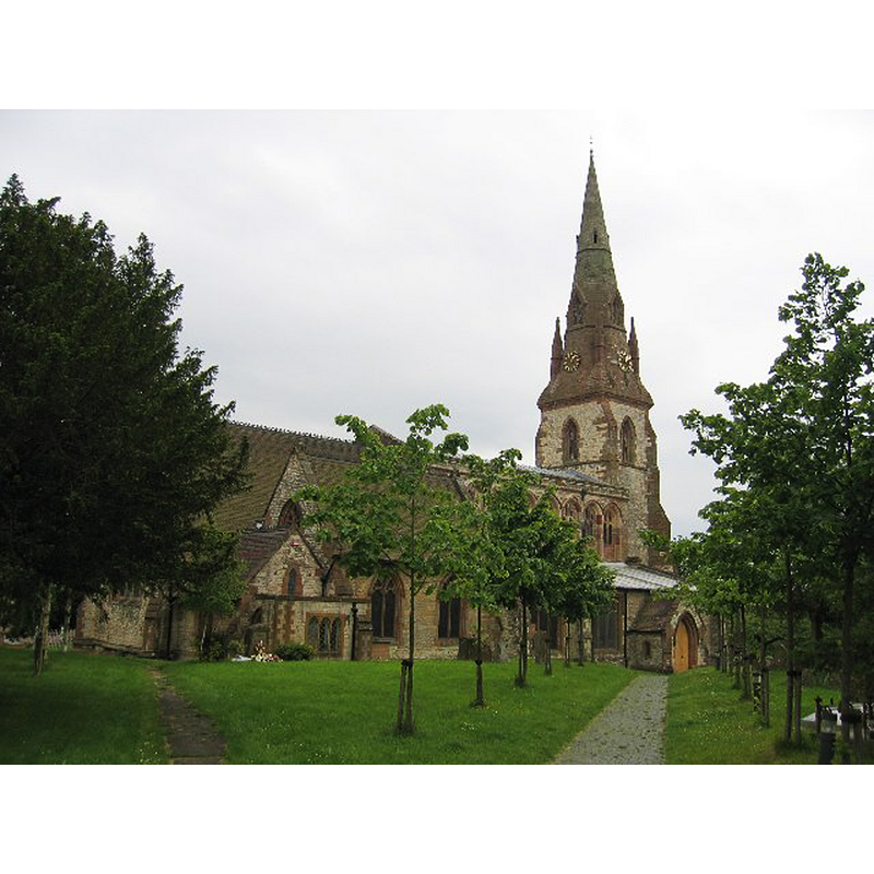
Image copyright © David Stowell, 2005
CC-BY-SA-2.0
Results: 3 records
view of church exterior - northeast view
Copyright Statement: Image copyright © David Stowell, 2005
Image Source: digital photograph taken 11 June 2005 by David Stowell [www.geograph.org.uk/photo/19297] [accessed 9 February 2015]
Copyright Instructions: CC-BY-SA-2.0
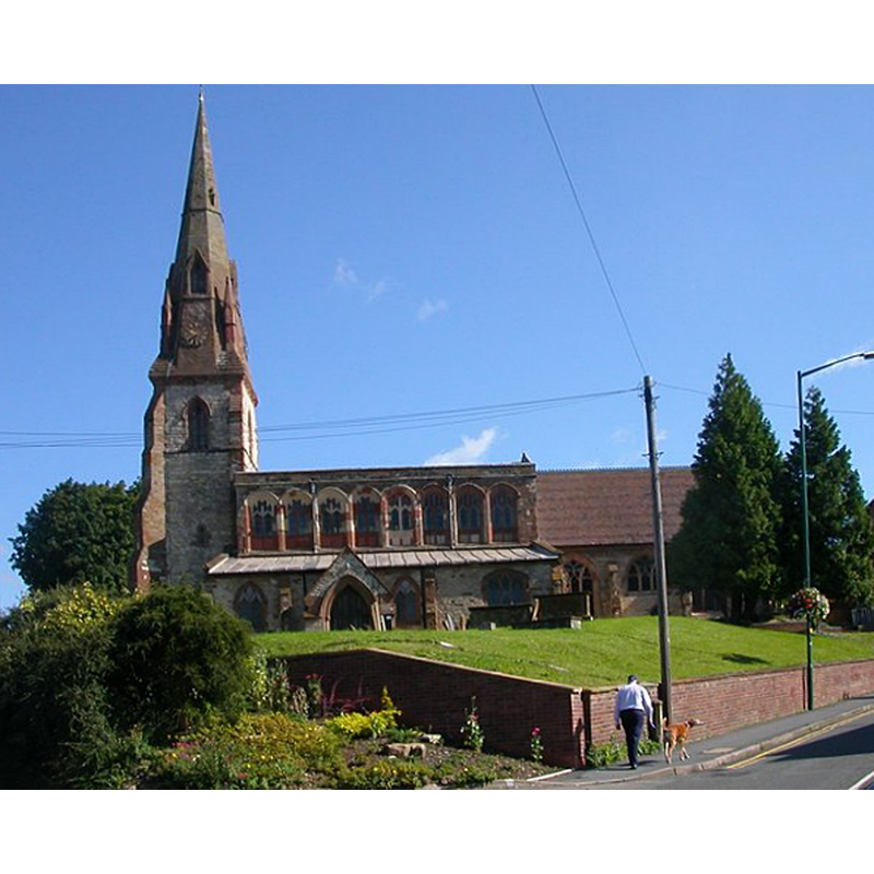
view of church exterior - west view
Copyright Statement: Image copyright © Andy F, 2008
Image Source: digital photograph taken 31 December 2008 by Andy F [www.geograph.org.uk/photo/1099659] [accessed 9 February 2015]
Copyright Instructions: CC-BY-SA-2.0
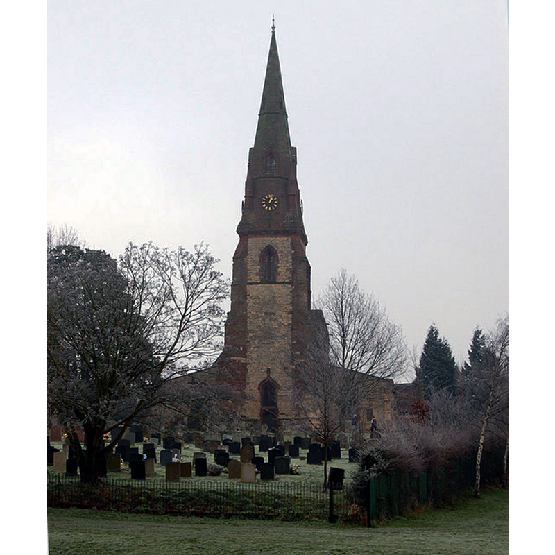
view of church exterior - south view
Copyright Statement: Image copyright © Ian Rob, 2007
Image Source: digital photograph taken 28 July 2007 by Ian Rob [www.geograph.org.uk/photo/515282] [accessed 9 February 2015]
Copyright Instructions: CC-BY-SA-2.0
INFORMATION
Font ID: 19709SOU
Object Type: Baptismal Font1?
Font Century and Period/Style: 12th - 13th century, Medieval
Church / Chapel Name: Parish Church of St. James
Church Patron Saint(s): St. James
Church Address: Warwick Street, Southam, Warwickshire CV47 0JA
Site Location: Warwickshire, West Midlands, England, United Kingdom
Directions to Site: Located off the A423/Banbury Road, 10 km SE of Leamington Spa
Ecclesiastic Region: Diocese of Coventry
Historical Region: Hundred of Marton [in Domesday] -- Hundred og Knightlow
Additional Comments: disappeared font? (the one from the original 12th-13thC church here)
Font Notes:
Click to view
There is an entry for this Southam [variant spelling] in Folio 238v of the Domesday survey [http://domesdaymap.co.uk/place/SP4161/southam/] [accessed 9 February 2015], but it mentions neither cleric nor church in it. The Victoria County History (Warwick, vol. 6, 1951) notes: "Southam being a Coventry Priory manor, the patronage of the church was in the hands of the prior up to the Reformation. In 1248 the priory assigned to the dean and chapter of Lichfield £20 in pensions out of the church of Southam instead of from that of St. Michael, Coventry [...] The present church dates from the 14th century; in the 15th century a spire was added to the tower [...] The font, placed just west of the door, is a modern one of stone with an octagonal basin, carved on each face, standing on an octagonal stem moulded at the base."
COORDINATES
UTM: 30U 609932 5790347
Latitude & Longitude (Decimal): 52.252526, -1.389542
Latitude & Longitude (DMS): 52° 15′ 9.1″ N, 1° 23′ 22.35″ W
REFERENCES
- Victoria County History [online], University of London, 1993-. URL: https://www.british-history.ac.uk.