Upper Shuckburgh / Higher Shuckburgh / Ouer Shugbury / Shockbourgh / Shuckborough / Socheberge / Sucheberga
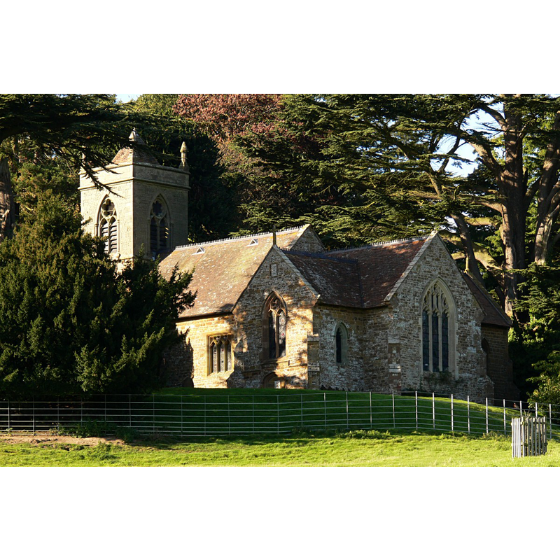
Image copyright © Walwyn, 2008
Standing permission + Creative Commons Licence [http://creativecommons.org/licenses/by-nc-sa/2.0/] [accessed 27 March 2009]
Results: 1 records
view of church exterior
Copyright Statement: Image copyright © Walwyn, 2008
Image Source: digital photograph taken 11 October 2008 by Walwyn [http://professor-moriarty.com/moriarties/midland_churches/?s=upper+shuckburgh] [accessed 6 February 2015]
Copyright Instructions: Standing permission + Creative Commons Licence [http://creativecommons.org/licenses/by-nc-sa/2.0/] [accessed 27 March 2009]
INFORMATION
Font ID: 19707SHU
Object Type: Baptismal Font1
Font Century and Period/Style: 17th century, Restoration
Church / Chapel Name: Parish Church of St. John the Baptist [aka Shuckburgh Hall Church / St John the Baptist in the Wilderness]
Font Location in Church: Inside the church
Church Patron Saint(s): St. John the Baptist
Church Address: Southam/Daventry Rd., Lower Shuckburgh, West Midlands
Site Location: Warwickshire, West Midlands, England, United Kingdom
Directions to Site: Located on the A425 road, equidistant (8 km) between Daventry and Southam
Ecclesiastic Region: Diocese of Coventry [formerly in the Diocese of Worcester]
Historical Region: Hundred of Marton [in Domesday] -- Hundred of Knightlow
Additional Comments: disappeared font? (the one from the 12thC church here)
Font Notes:
Click to view
There are three entries for [Lower and Upper] Shuckburgh [variant spelling] in the Domesday surve [http://domesdaymap.co.uk/place/XX0000/lower-and-upper-shuckburgh/] [accessed 6 February 2015], but neither mentions cleric nor church in it. The Victoria County History (Warwick, vol. 6, 1951) notes: "The church of Upper Shuckburgh was granted by Robert de Succheberga, and confirmed about 1150 by Robert de Alvers, to the nunnery of Wroxall. [...] The church, except the base of the tower, has been completely rebuilt within recent times [...] The font is placed in the tower and has an hexagonal basin supported on an hexagonal stem with a moulded capital and a splayed base." English Heritage [Listing NGR: SP4970961761] (1967) reports: "C17 octagonal font and lid with finial on C19 stem"
COORDINATES
UTM: 30U 617841 5790426
Latitude & Longitude (Decimal): 52.2516, -1.2737
Latitude & Longitude (DMS): 52° 15′ 5.76″ N, 1° 16′ 25.32″ W
MEDIUM AND MEASUREMENTS
Material: stone
Font Shape: hexagonal, mounted
Basin Interior Shape: round
Basin Exterior Shape: hexagonal
REFERENCES
- Victoria County History [online], University of London, 1993-. URL: https://www.british-history.ac.uk.