Monks Kirby / Chircheberie / Kirkby
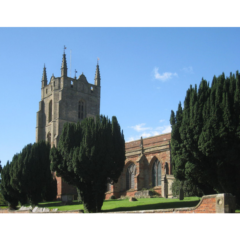
Image copyright © Jonathan Thacker, 2010
CC-BY-SA-2.0
Results: 1 records
view of church exterior - south view
Copyright Statement: Image copyright © Jonathan Thacker, 2010
Image Source: digital photograph taken 29 August 2010 by Jonathan Thacker [www.geograph.org.uk/photo/2039857] [accessed 5 February 2015]
Copyright Instructions: CC-BY-SA-2.0
INFORMATION
Font ID: 19701MON
Object Type: Baptismal Font1?
Font Century and Period/Style: 10th - 11th century, Pre-Conquest
Church / Chapel Name: Parish Church of St. Editha [aka St. Denis?]
Church Patron Saint(s): St. Editha [Eadgyth, Edgytha, Edith of Wilton, Ediva]
Church Address: Miller's Lane, Monks Kirkby, Warwickshire, CV23 0QX
Site Location: Warwickshire, West Midlands, England, United Kingdom
Directions to Site: Located N of the M6 and Stretton-under-Fosse, 11 km NNW of Rugby
Ecclesiastic Region: Diocese of Coventry
Historical Region: Hundred of Bumbelowe [in Domesday] -- Hundred of Knightlow
Additional Comments: disappeared font? (the one from the church that was in ruins at the Conquest time [cf. FontNotes])
Font Notes:
Click to view
There is one entry for Monks Kirby [variant spelling] in the Domesday survey [http://domesdaymap.co.uk/place/SP4683/monks-kirby/] [accessed 5 January 2015]; it mentions two priests, but no church in it, though there probably was at least one church here. The National Gazetteer of 1868 gives the dedication of the church here as St. Denis. The Victoria County History (Warwik, vol. 6, 1951) notes: "Kirkby, the original form of the name of the parish, implies the early existence of a church here. At the Norman Conquest Geoffrey de Wirce found the church in ruin and, as already mentioned, rebuilt it and gave it to the Abbey of St. Nicholas, Angers. It was appropriated to the Priory of Monks Kirby and in 1291 was valued at £21 6s. 8d. [...] The parish church of ST. EDITH [...] was rebuilt in the latter part of the 14th century and again towards the end of the 15th century, when the present arcades were built, the upper part of the tower rebuilt, and most of the windows replaced. [...] The tower [...] has a modern tiled floor with a modern octagonal stone font in the centre." [NB: we have no information on the font of the original pre-Conquest church here]. The hamlet of Copston Magna has a neo-Gothic church of the Victorian period, St. John's, with a font of the same period. The nearby hamlet of Pailton laso had a 19th-century church. Both were built as chapels-of-ease to Monks Kirby.
COORDINATES
UTM: 30U 614167 5811740
Latitude & Longitude (Decimal): 52.443911, -1.320255
Latitude & Longitude (DMS): 52° 26′ 38.08″ N, 1° 19′ 12.92″ W
REFERENCES
- Victoria County History [online], University of London, 1993-. URL: https://www.british-history.ac.uk.