Hillmorton / Mortone
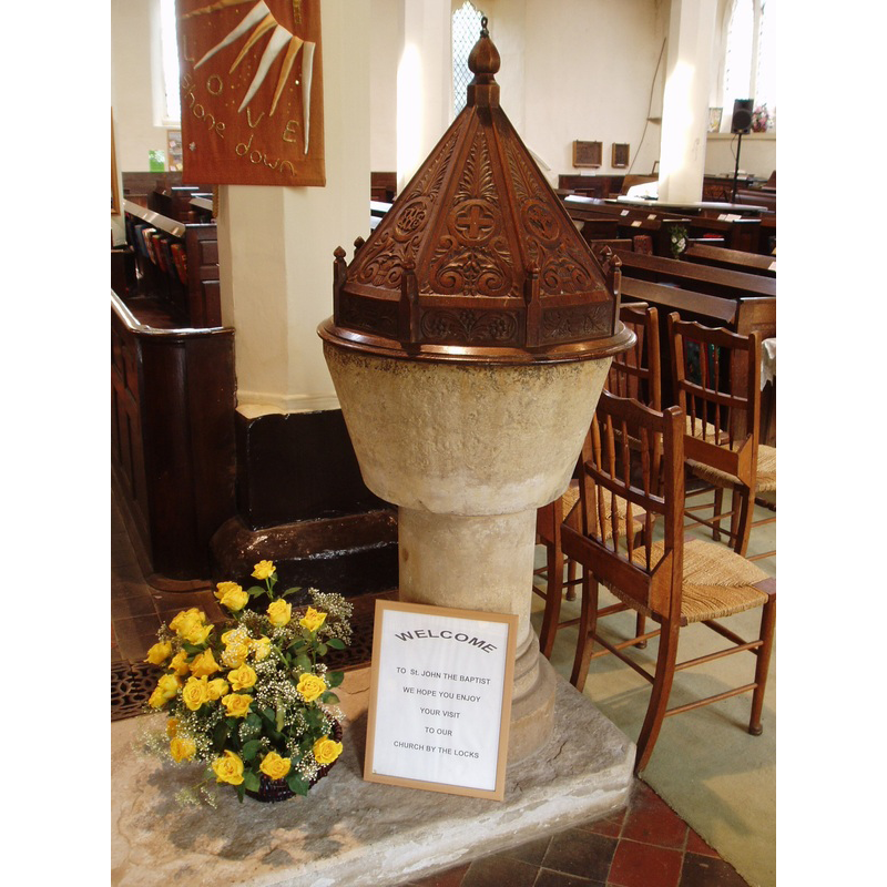
Image copyright © Aidan McRae Thomson, 2012
Standing permission
Results: 5 records
view of font and cover in context
Scene Description: only the plain bucket-shaped basin is original
Copyright Statement: Image copyright © Aidan McRae Thomson, 2012
Image Source: digital photograph taken 2012 by Aidan McRae Thomson [http://warwickshirechurches.weebly.com/hillmorton---st-john-the-baptist.html] [accessed 27 January 2015]
Copyright Instructions: Standing permission
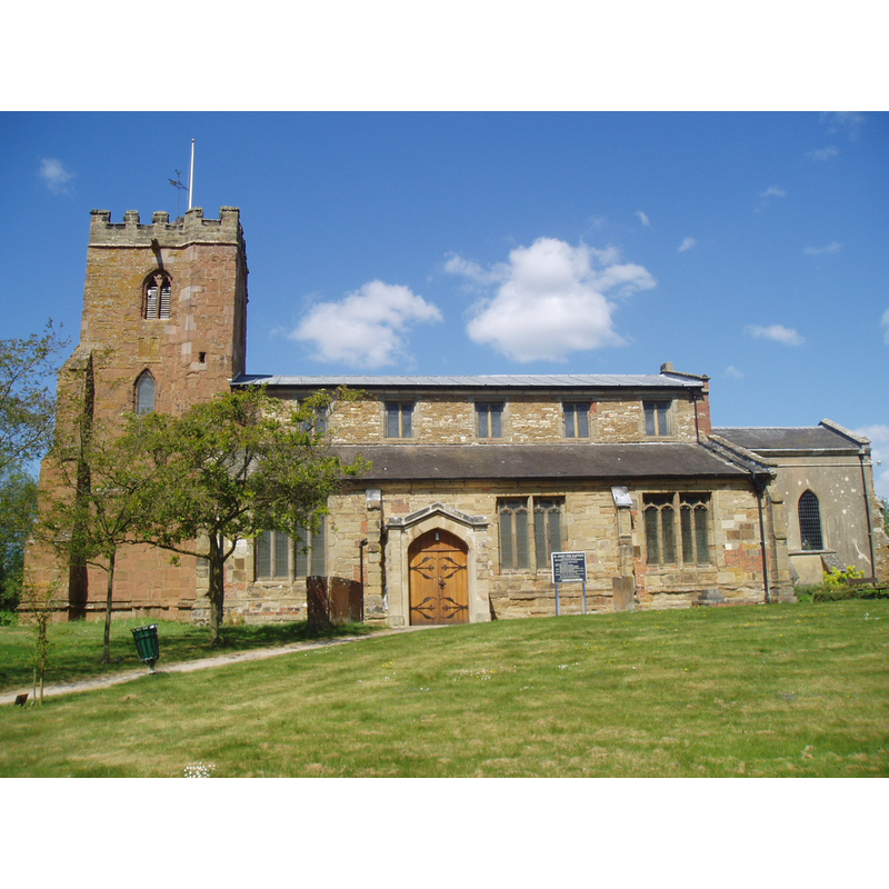
view of church exterior - south view
Copyright Statement: Image copyright © Aidan McRae Thomson, 2012
Image Source: digital photograph taken 2012 by Aidan McRae Thomson [http://warwickshirechurches.weebly.com/hillmorton---st-john-the-baptist.html] [accessed 27 January 2015]
Copyright Instructions: Standing permission
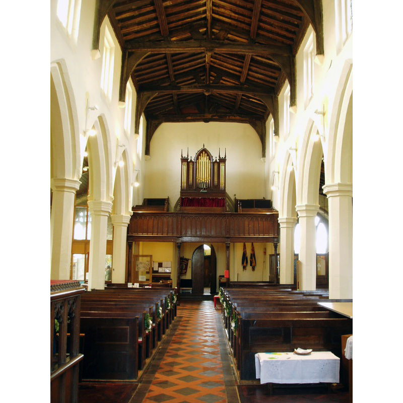
view of church interior - nave - looking west
Copyright Statement: Image copyright © Aidan McRae Thomson, 2012
Image Source: digital photograph taken 2012 by Aidan McRae Thomson [http://warwickshirechurches.weebly.com/hillmorton---st-john-the-baptist.html] [accessed 27 January 2015]
Copyright Instructions: Standing permission
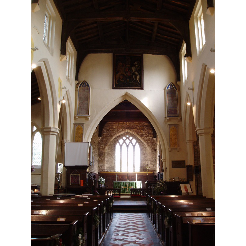
view of church interior - nave - looking east
Copyright Statement: Image copyright © Aidan McRae Thomson, 2012
Image Source: digital photograph taken 2012 by Aidan McRae Thomson [http://warwickshirechurches.weebly.com/hillmorton---st-john-the-baptist.html] [accessed 27 January 2015]
Copyright Instructions: Standing permission
view of church interior - plan
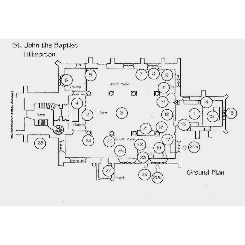
Copyright Statement: Image copyright © Hillmorton Parochial Church Council, 1993
Image Source: plan by Hillmorton Parochial Church Council [www.stjohnhillmorton.org.uk/aboutus.htm] [accessed 27 January 2015]
Copyright Instructions: No known copyright restriction – Fair Dealing
INFORMATION
Font ID: 19686HIL
Object Type: Baptismal Font1
Font Century and Period/Style: 12th century [basin only], Medieval [composite]
Church / Chapel Name: Parish Church of St. John the Baptist
Font Location in Church: Inside the church, at the W end of the S aisle
Church Patron Saint(s): St. John the Baptist
Church Address: The Locks, Hillmorton, Rugby, Warwickshire, CV21 4PP
Site Location: Warwickshire, West Midlands, England, United Kingdom
Directions to Site: Located off (S) the A428, SE of Rugby
Ecclesiastic Region: Diocese of Coventry
Historical Region: Hundred of Marton [in Domesday] -- Hundred of Knightlow
Additional Comments: altered font? (12thC basin on a modern base)
Font Notes:
Click to view
There are five entries for Hillmorton [variant spelling] in the Domesday survey [http://domesdaymap.co.uk/place/SP5373/hillmorton/] [accessed 27 January 2015], neither of which mentions cleric or church in it. The Victoria County History (Warwick, vol. 6, 1951) notes: "The first recorded presentation, by Thomas de Astley of his brother Philip, is undated, but occurred before 1265 [...] The earliest architectural remains are of the early or mid-13th century [...] The 12th-century font is a plain inverted truncated cone standing on a modern base." The Parish web site [www.stjohnhillmorton.org.uk/aboutus.htm] [accessed 27 January 2015] notes: "Dating from the 12th Century, the font (25) was once discarded in 1777 and replaced with a marble basin on an iron stand. We are fortunate that the original font was retrieved from the churchyard rubbish heap in 1849 and replaced in its present position. The font cover is from c. 1880."
Credit and Acknowledgements: We are grateful to Aidan McRae Thomson, of Warwickshire Churches [http://warwickshirechurches.weebly.com], for his photographs of this church and font
COORDINATES
Latitude & Longitude (DMS): 52° 21′ 53.82″ N, 1° 12′ 50.8″ W
MEDIUM AND MEASUREMENTS
Material: stone
Font Shape: bucket-shaped, mounted
Basin Interior Shape: round
Basin Exterior Shape: round
LID INFORMATION
Date: modern / 1880
Material: wood, oak?
Apparatus: no
Notes: [cf. FontNotes]
REFERENCES
- Victoria County History [online], University of London, 1993-. URL: https://www.british-history.ac.uk.