Bedworth / Bedeword
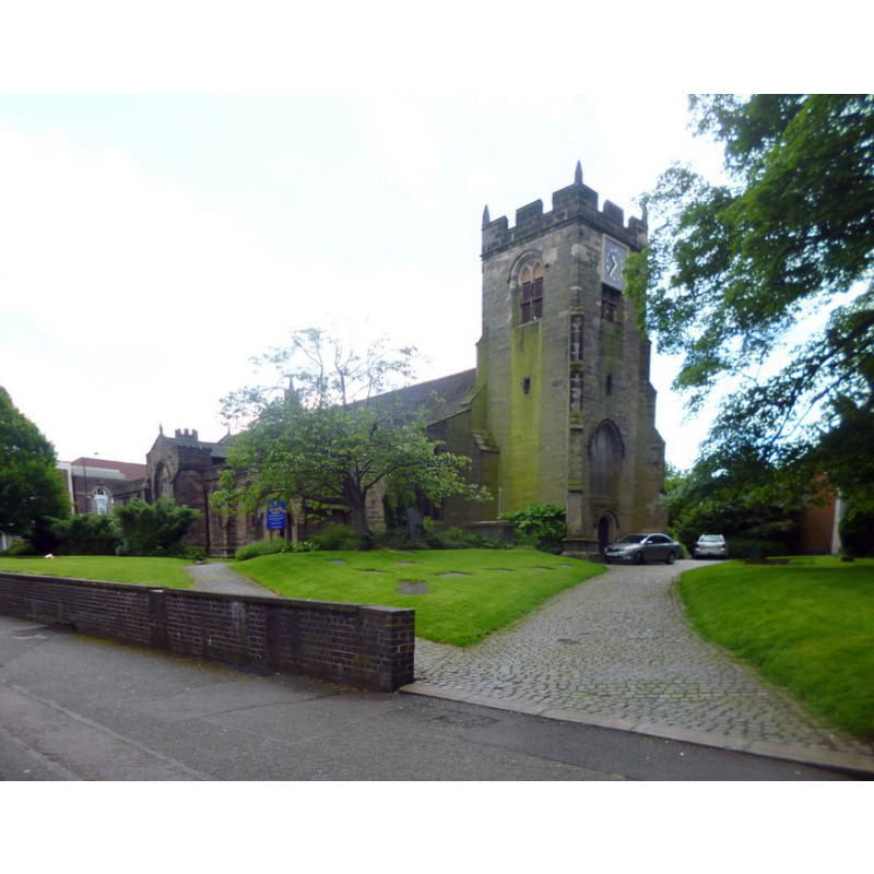
Image copyright © Mike Faherty, 2014
CC-BY-SA-2.0
Results: 1 records
view of church exterior - northwest view
Scene Description: EXT NW digital photograph taken 8 June 2014 by Mike Faherty [www.geograph.org.uk/photo/4019198] [accessed 21 January 2015]
Copyright Statement: Image copyright © Mike Faherty, 2014
Image Source: digital photograph taken 8 June 2014 by Mike Faherty [www.geograph.org.uk/photo/4019198] [accessed 21 January 2015]
Copyright Instructions: CC-BY-SA-2.0
INFORMATION
Font ID: 19675BED
Object Type: Baptismal Font1?
Font Century and Period/Style: 13th century, Early English? / Decorated?
Church / Chapel Name: Parish Church of All Saints
Church Patron Saint(s): All Saints
Church Address: 2 High Street, Bedworth, West Midlands, CV12 8NH
Site Location: Warwickshire, West Midlands, England, United Kingdom
Directions to Site: Located off (E) the A444, 5 km S of Nuneaton, 10 km N of Coventry
Ecclesiastic Region: Diocese of Coventry
Historical Region: Hundred of Bumbelowe [in Domesday] -- Hundred of Knightlow
Additional Comments: disappeared font? (the one from the original 13thC church here)
Font Notes:
Click to view
There is an entry for Bedworth [variant spelling] in the Domesday survey [http://domesdaymap.co.uk/place/SP3586/bedworth/] [accessed 21 January 2015], but it mentions neither cleric nor priest in it. The Victoria County History (Warwick, vol. 6, 1951) notes: "he first mention of a priest at Bedworth is in 1297, when protection was granted to Master Robert de Craft, parson. [...] The earliest surviving remains are of the 14th century, as indicated by blocks of red sandstone dug up when the foundations of the present church were being prepared, and afterwards incorporated in them"; no font mentioned in the VCH entry. No font noted in the English Heritage listing for this church [Listing NGR: SP3592786919] (1949) either. The present font is modern, an octagonal basin with decorated panels (quatrefoil, symbols, etc.) raised on a cluster of columns; on a plinth. Tall octagonal pyramidal font cover with open-work in the lower half; avian finial. Both modern. [NB: we have no information on the font from the original 13th-century church here].
COORDINATES
UTM: 30U 603714 5815406
Latitude & Longitude (Decimal): 52.478942, -1.472844
Latitude & Longitude (DMS): 52° 28′ 44.19″ N, 1° 28′ 22.24″ W
REFERENCES
- Victoria County History [online], University of London, 1993-. URL: https://www.british-history.ac.uk.