Baginton / Badechitone
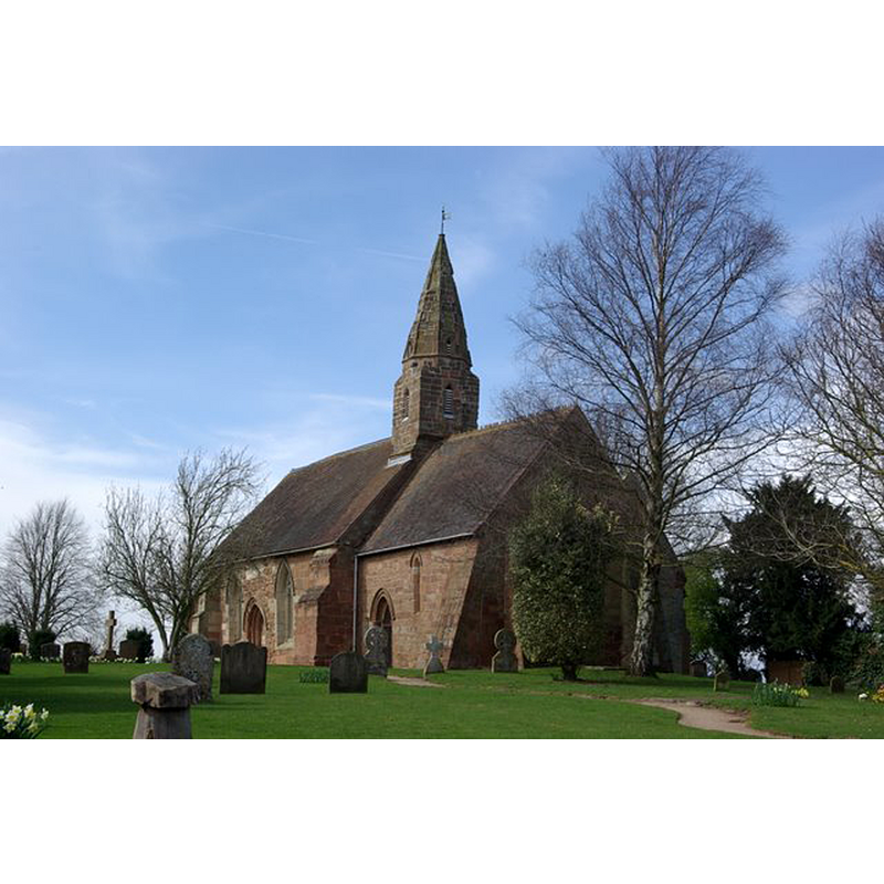
Image copyright © Keith Williams, 2009
CC-BY-SA-2.0
Results: 1 records
view of church exterior - southeast view
Copyright Statement: Image copyright © Keith Williams, 2009
Image Source: digital photograph taken 27 March 2009 by Keith Williams [www.geograph.org.uk/photo/1223537] [accessed 21 January 2015]
Copyright Instructions: CC-BY-SA-2.0
INFORMATION
Font ID: 19674BAG
Object Type: Baptismal Font1?
Font Century and Period/Style: 13th century (early?), Early English
Church / Chapel Name: Parish Church of St. John the Baptist
Church Patron Saint(s): St. John the Baptist
Church Address: Kimberley Road / Church Road, Baginton, Warwickshire, CV8 3AR
Site Location: Warwickshire, West Midlands, England, United Kingdom
Directions to Site: Located 7 km S of Coventry, 11 km N of Leamington Spa
Ecclesiastic Region: Diocese of Coventry
Historical Region: Hundred of Stoneleigh
Additional Comments: disappeared font? (the one from the original early-13thC church here)
Font Notes:
Click to view
There is an entry for Badington [variant spelling] in the Domesday survey [http://domesdaymap.co.uk/place/SP3474/baginton/] [accessed 21 January 2015], but it mentions neither cleric not church in it. The Victoria County History (Warwick, vol. 6, 1951) notes: "In the 12th century, when the church of Stoneleigh was given to Kenilworth Priory, the chapel of Baginton was attached to it; but in the reign of John [i.e., 1199-1216], when the priory appropriated the mother church, the chapel was allowed its independence [...] In 1291 the church of Baginton was rated at £4 13s. 4d., [...] and in 1535, when it is definitely styled a parish church, at £8 1s. 8d. in addition to the annual pension of 20s. to the canons of Kenilworth. [...] It dates from the early 13th century [...] A modern octagonal stone font is placed at the west end of the nave."
COORDINATES
UTM: 30U 602283 5803214
Latitude & Longitude (Decimal): 52.36964, -1.497646
Latitude & Longitude (DMS): 52° 22′ 10.7″ N, 1° 29′ 51.53″ W
REFERENCES
- Victoria County History [online], University of London, 1993-. URL: https://www.british-history.ac.uk.