Astley / Estleia
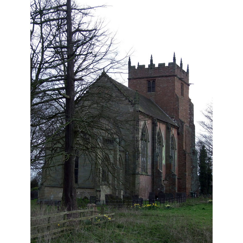
Image copyright © Brett Lees-Smith, 2006
CC-BY-SA-2.0
Results: 6 records
view of church exterior - northeast view
Copyright Statement: Image copyright © Brett Lees-Smith, 2006
Image Source: digital photograph taken 17 February 2006 by Brett Lees-Smith [http://commons.wikimedia.org/wiki/File:St._Mary_the_Virgin,_Astley_2.jpg] [accessed 21 January 2015]
Copyright Instructions: CC-BY-SA-2.0
view of church exterior - west view
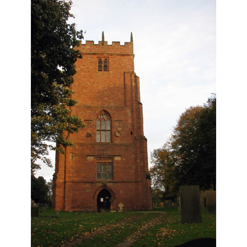
Copyright Statement: Image copyright © Richard Harrison, 2005
Image Source: digital photograph taken 28 October 2005 by Richard Harrison [www.geograph.org.uk/photo/71509] [accessed 21 January 2015]
Copyright Instructions: CC-BY-SA-2.0
view of church interior - nave - looking east
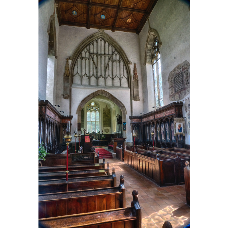
Copyright Statement: Image copyright © Jbudd, 2013
Image Source: digital photograph taken 3 August 2013 by Jbudd [http://commons.wikimedia.org/wiki/File:Astley_Church.JPG] [accessed 21 January 2015]
Copyright Instructions: CC-BY-SA-3.0
design element - patterns - crenellated


design element - motifs - moulding
design element - motifs - moulding
INFORMATION
Font ID: 19673AST
Object Type: Baptismal Font1
Font Century and Period/Style: 14th century, Decorated
Church / Chapel Name: Parish Church of St. Mary the Virgin
Font Location in Church: Inside the church, at the W end of the nave, by the N pillar of the tower arch
Church Patron Saint(s): St. Mary the Virgin
Church Address: 4 Castle Drive / Nuthurst Lane, Astley, Warwickshire, CV10 7QN
Site Location: Warwickshire, West Midlands, England, United Kingdom
Directions to Site: Located near Nuneaton
Ecclesiastic Region: Diocese of Coventry
Historical Region: Hundred of Bumbelowe [in Domesday] -- Hundred of Knightlow
Additional Comments: disappeared font? (the one from the original 13thC (?) church here)
Font Notes:
Click to view
There is an entry for this Astley [variant spelling] in Folio: 240r of the Great Domesday Book [http://domesdaymap.co.uk/place/SP3189/astley/] [accessed 21 January 2015], but it mentions neither cleric nor church in it. The Victoria County History (Warwick, vol. 6, 1951) notes: "The first record of a priest in Astley is in the reign of Henry III [i.e., 1216-1272], when Thomas de Astley presented a certain William [...] The parish church [...] was completely rebuilt by Sir Thomas Astley in 1343 as a collegiate establishment. [...] Beneath this [tower] arch, and on the north side, stands the 14th-century octagonal font; the base is moulded and the font-stone has a moulded projection with the top embattled." English Heritage [Listing NGR: SP3110589431] (1961) reports: "Octagonal font has moulded base and capital."
COORDINATES
UTM: 30U 598865 5817860
Latitude & Longitude (Decimal): 52.5019, -1.5435
Latitude & Longitude (DMS): 52° 30′ 6.84″ N, 1° 32′ 36.6″ W
MEDIUM AND MEASUREMENTS
Material: stone
Font Shape: octagonal, mounted
Basin Interior Shape: round
Basin Exterior Shape: octagonal
REFERENCES
- Victoria County History [online], University of London, 1993-. URL: https://www.british-history.ac.uk.