Weinried
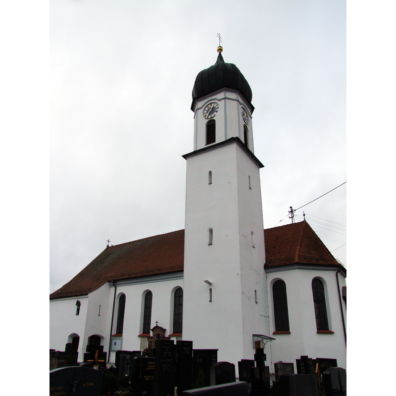
Image copyright © Thomas Mirtsch, 2012
CC-BY-SA-3.0
Results: 5 records
view of church exterior - southeast view
Copyright Statement: Image copyright © Thomas Mirtsch, 2012
Image Source: digital photograph taken 17 December 2012 by Thomas Mirtsch [http://commons.wikimedia.org/wiki/File:St._Laurentius_und_Vitus_(Weinried)_-_Außen_(9).JPG] [accessed 16 January 2015]
Copyright Instructions: CC-BY-SA-3.0
view of church exterior - northwest end
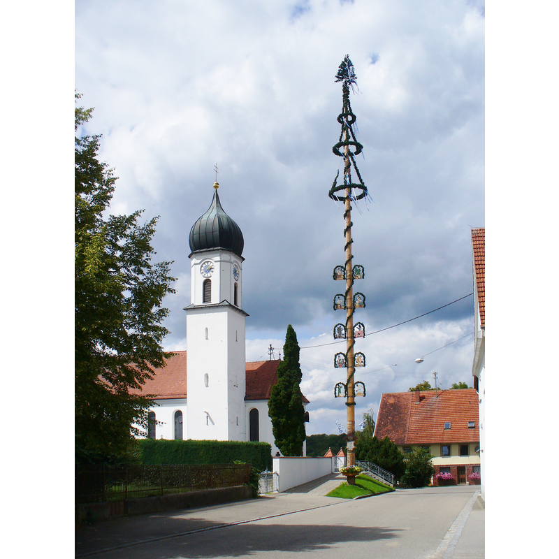
Copyright Statement: Image copyright © Colin Smith, 2015
Image Source: digital photograph taken 21 August 2014 by Colin Smith
Copyright Instructions: Image and permission received (e-mail of 14 January 2015)
view of church interior - nave - looking east
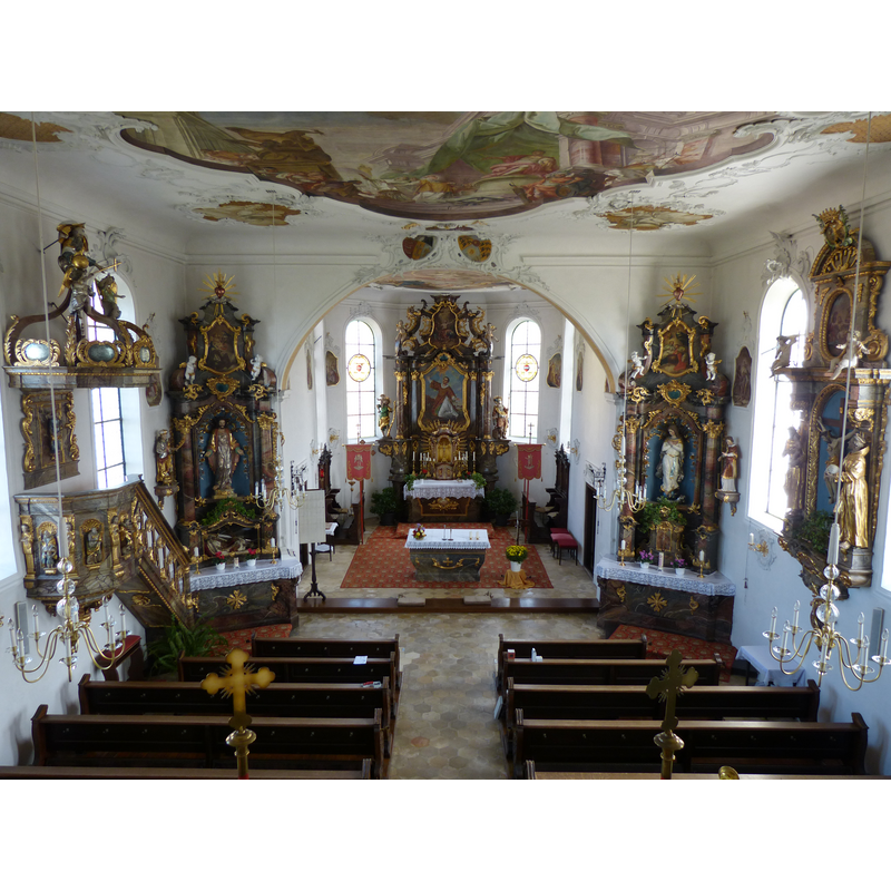
Copyright Statement: Image copyright © Mogadir, 2012
Image Source: digital photograph taken 2 October 2012 by Mogadir [http://commons.wikimedia.org/wiki/File:St._Laurentius_und_Vitus_(Weinried)_11.JPG] [accessed 16 January 2015]
Copyright Instructions: CC-BY-SA-3.0
view of church interior - east end - detail
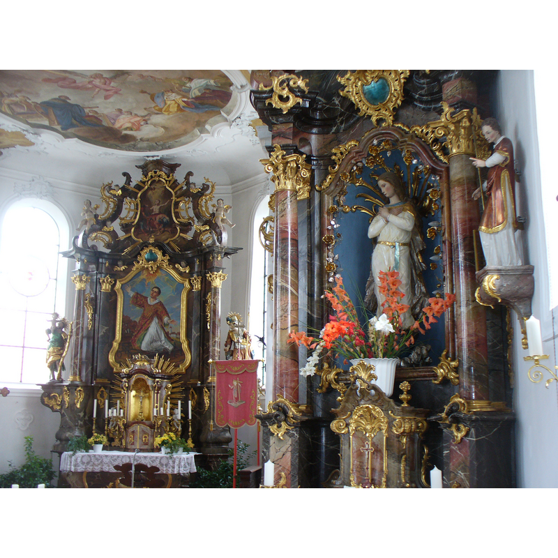
Copyright Statement: Image copyright © Colin Smith, 2015
Image Source: digital photograph taken 21 August 2014 by Colin Smith
Copyright Instructions: Image and permission received (e-mail of 14 January 2015)
view of object
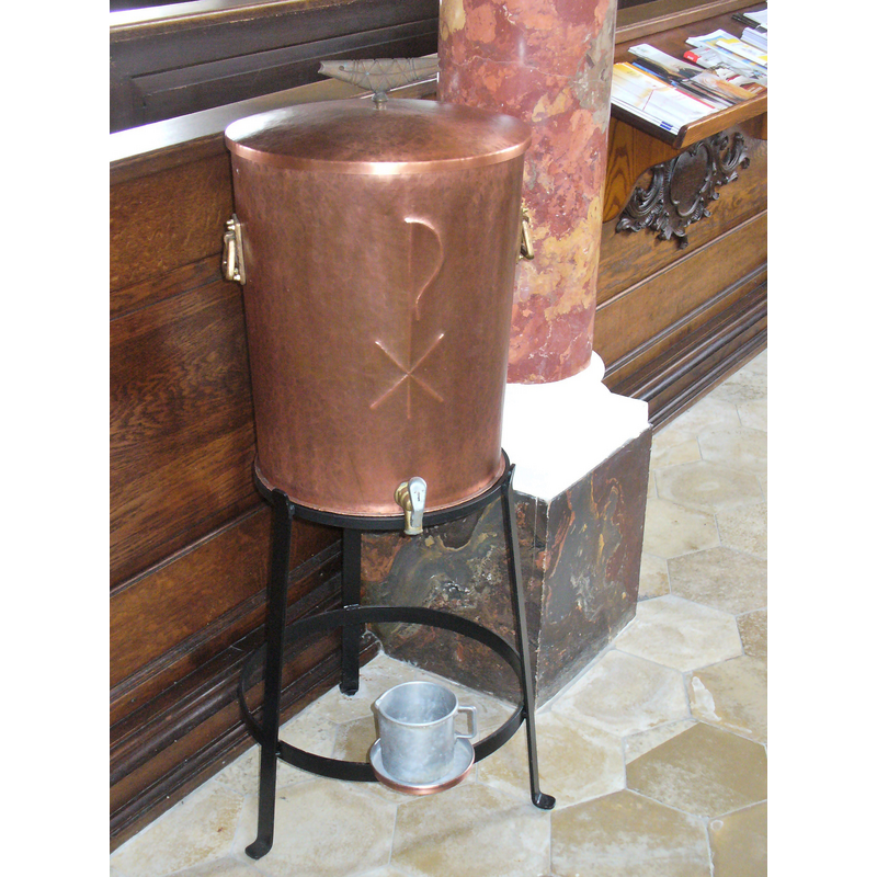
Scene Description: the container for holy water
Copyright Statement: Image copyright © Colin Smith, 2015
Image Source: digital photograph taken 21 August 2014 by Colin Smith
Copyright Instructions: Image and permission received (e-mail of 14 January 2015)
INFORMATION
Font ID: 19667WEI
Object Type: Baptismal Font1?
Font Century and Period/Style: 15th - 16th century, Late Gothic
Church / Chapel Name: Römisch-katholische Kirche St. Laurentius und Vitus, Weinried
Font Location in Church: [disappeared]
Church Patron Saint(s): St. Lawrence [aka Laurence] & St. Vitus
Church Address: Beim Küfer 5, 87770 Oberschönegg, Germany
Site Location: Unterallgäu, Bayern, Germany, Europe
Directions to Site: Located off road 300, 2 km SE of Babenhausen, 20 km NE of Memmingen, 45 km SE of Ulm
Historical Region: Grafschaft Fugger-Babenhausen
Additional Comments: disappeared font? (the one from the late-Gothic church here)
Font Notes:
Click to view
[NB: we have no information on the whereabouts of the font of the original late-Gothic church here)
COORDINATES
UTM: 32U 594597 5331590
Latitude & Longitude (Decimal): 48.130532, 10.271348
Latitude & Longitude (DMS): 48° 7′ 49.91″ N, 10° 16′ 16.85″ E