Kineton / Kington / Quintone
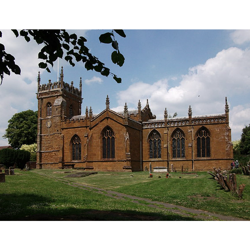
Image copyright © John Brightley, 2010
CC-BY-SA-2.0
Results: 1 records
view of church exterior - south view
Copyright Statement: Image copyright © John Brightley, 2010
Image Source: digital photograph taken 26 June 2010 by John Brightley [www.geograph.org.uk/photo/1934438] [accessed 8 January 2015]
Copyright Instructions: CC-BY-SA-2.0
INFORMATION
Font ID: 19632KIN
Object Type: Baptismal Font1?
Font Century and Period/Style: 12th century (early?), Late Norman
Church / Chapel Name: Parish Church of St. Peter
Church Patron Saint(s): St. Peter
Church Address: Warwick Road [B4086] Kineton, Warwickshire CV35 0HN
Site Location: Warwickshire, West Midlands, England, United Kingdom
Directions to Site: Located on the B4086 [aka Warwick Road]
Ecclesiastic Region: Diocese of Coventry
Historical Region: Hundred of Fexhole [in Domesday] -- Hundred of Kineton
Additional Comments: disappeared font? (the one from the church documented here in the early 12thC)
Font Notes:
Click to view
There is an entry for Kineton [variant spelling] in the Domesday survey [http://domesdaymap.co.uk/place/SP3351/kineton/] [accessed 8 January 2015], but it mentions neither cleric nor church in it. The Victoria County History (Warwick, vol. 5: 1949) notes: "The church of Kineton, with its lands, tithes, and 'church-scot' (cerchez) was granted to Kenilworth Priory by Henry [i.e., 1100-1135] [...] The west tower is said to date from 1315, but its west doorway is probably earlier and its windows later. The remainder of the building contains no ancient features. It was partly rebuilt by Sanderson Miller of Radway in 1775, [...] when the transepts and aisle were added, and again largely renovated during the period 1877–89 [...] The font and pulpit are modern." English Heritage [Listing NGR: SP3357151080] (1967) reports a "C19 octagonal font" in this church. The Victorian font here consists of an octagonal basin with quatrefoiled motifs on the sides, on an octagonal stem with trefoiled windows on the sides, and a splaying lower base, also octagonal.
COORDINATES
UTM: 0U 601811 5779463
Latitude & Longitude (Decimal): 52.156267, -1.511744
Latitude & Longitude (DMS): 52° 9′ 22.56″ N, 1° 30′ 42.28″ W
REFERENCES
- Victoria County History [online], University of London, 1993-. URL: https://www.british-history.ac.uk.