Gaydon
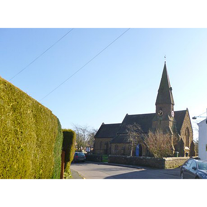
Image copyright © Mike Faherty, 2013
CC-BY-SA-2.0
Results: 1 records
view of church exterior - northwest view
Copyright Statement: Image copyright © Mike Faherty, 2013
Image Source: detail of a digital photograph taken 17 February 2013 by Mike Faherty [www.geograph.org.uk/photo/3335901] [accessed 7 January 2015]
Copyright Instructions: CC-BY-SA-2.0
INFORMATION
Font ID: 19630GAY
Object Type: Baptismal Font1
Font Century and Period/Style: Medieval
Church / Chapel Name: Parish Church of St. Giles [formerly a chapelry of Chadshunt]
Church Patron Saint(s): St. Giles [aka Aegidus, Egidus, Gilles]
Church Address: Church Lane, Gaydon, Warwickshire CV35 0EY
Site Location: Warwickshire, West Midlands, England, United Kingdom
Directions to Site: Located at the B4100-B4451 junction, 3 km NE of Kineton, near Chadshunt and Leamington Spa
Ecclesiastic Region: Diocese of Coventry
Historical Region: Hundred of Kington
Additional Comments: disappeared font? (was there a font in the old chapel?)
Font Notes:
Click to view
We found no entry for Gaydon in the Domesday survey. The Victoria County History (Warwick, vol. 5, 1949) notes: "The chapel at Gaydon was probably from the time of its foundation a chapelry of Chadshunt, which was part of the prebend of the Precentor of Lichfield. In 1284 the men of Gaydon agreed to pay 2 marks annually to the Precentor towards the support of a priest for their chantry in the chapel of Gaydon [...] The parish church of ST. GILES, erected in 1852, is a small building of ashlar in the 14th-century style [...] It contains no ancient features except the bell, which 'is undoubtedly ancient and hung in a turret in the old church'". English Heritage [Listing NGR: SP3645953916] (1967) reports an octagonal font here [presumably of mid-19th century date].
COORDINATES
UTM: 30U 604671 5782403
Latitude & Longitude (Decimal): 52.182156, -1.469046
Latitude & Longitude (DMS): 52° 10′ 55.76″ N, 1° 28′ 8.57″ W
REFERENCES
- Victoria County History [online], University of London, 1993-. URL: https://www.british-history.ac.uk.