Nether Whitacre / Witecore
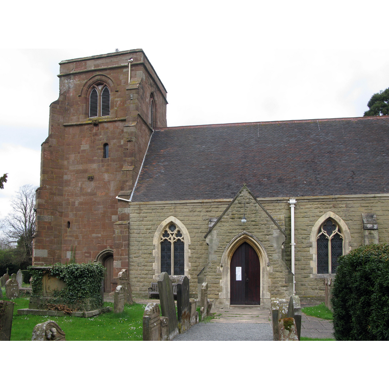
Image copyright © Brianboru100, 2013
CC-BY-SA-3.0
Results: 1 records
view of church exterior - south view - detail
Copyright Statement: Image copyright © Brianboru100, 2013
Image Source: digital photograph taken 30 April 2013 by Brianboru100 [http://commons.wikimedia.org/wiki/File:St_Gile_Nether_Whitacre.JPG] [accessed 17 December 2014]
Copyright Instructions: CC-BY-SA-3.0
INFORMATION
Font ID: 19579WHI
Object Type: Baptismal Font1?
Font Century and Period/Style: 13th century, Medieval
Church / Chapel Name: Parish Church of St. Giles
Church Patron Saint(s): St. Giles [aka Aegidus, Egidus, Gilles]
Church Address: Dog Lane, Nether Whitacre, West Midlands, B46 2DY
Site Location: Warwickshire, West Midlands, England, United Kingdom
Directions to Site: Located on the A51 [Tamworth-Coventry road]
Ecclesiastic Region: Diocese of Birmingham
Historical Region: Hundred of Coleshill [in Domesday] -- Hundred of Hemlingford
Additional Comments: disappeared font? (original church/chapel documented by 1280; baptismal register 1593+)
Font Notes:
Click to view
There are two entries for [Nether] Whitacre [variant spelling] in the Domesday survey [http://domesdaymap.co.uk/place/SP2392/nether-whitacre/] [accessed 17 December 2014], but neither mentions cleric or church in it. The Victoria County History (Warwick, vol. 4, 1947) notes: "Already by 1280 the chapel of Nether Whitacre was appropriated to Markyate Priory [...] The tower dates from the 16th century—the first half or middle—but the remainder of the building has no ancient features except the jambs of the east window and the rubble walling, which may be 14th-century work. The building was restored in 1870 [...] The font and other fittings and furniture are modern. [...] The registers of baptisms and burials begin in 1539 but are defective and out of chronological order". The present octagonal stone font dates from the 1870 renovation of this church.
COORDINATES
UTM: 30U 590833 5821119
Latitude & Longitude (Decimal): 52.532581, -1.660897
Latitude & Longitude (DMS): 52° 31′ 57.29″ N, 1° 39′ 39.23″ W
REFERENCES
- Victoria County History [online], University of London, 1993-. URL: https://www.british-history.ac.uk.