Little Packington / Packington Parva / Patitone
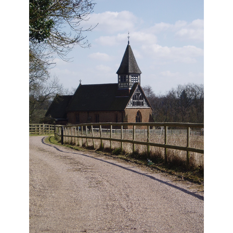
Image copyright © Aidan McRae Thomson, 2014
Stading permission
Results: 1 records
view of church exterior - northwest view
Copyright Statement: Image copyright © Aidan McRae Thomson, 2014
Image Source: digial photograph taken by Aidan McRae Thomson [http://warwickshirechurches.weebly.com/little-packington---st-bartholomew.html] [accessed 10 December 2014]
Copyright Instructions: Stading permission
INFORMATION
Font ID: 19565PAR
Object Type: Baptismal Font1
Font Century and Period/Style: 16th century, Elizabethan
Church / Chapel Name: Parish Church od St. Bartholomew [redundant since 1991; now private property]
Font Location in Church: Inside the church?
Church Patron Saint(s): St. Bartholomew
Church Address: Packington Lane, Little Packington, Warwickshire CV7 7HN
Site Location: Warwickshire, West Midlands, England, United Kingdom
Directions to Site: Located just NW of Great Packington, 6 km WNW of Meriden
Ecclesiastic Region: Diocese of Coventry [formerly in the Diocese of Lichfield and Coventry]
Historical Region: Hundred of Coleshill [in Domesday] -- Hundred of Hemlingford
Additional Comments: disappeared font? (the one from the 12thC church here)
Font Notes:
Click to view
There is an entry for Packington and [Little] Packington [variant spelling] in the Domesday survey http://domesdaymap.co.uk/place/XX0000/packington-and-little-packington/] [accessed 10 December 2014], but it mentions neither cleric nor church in it. Wilson's Imperial Gazetteer of 1871-1872 notes: "The church is ancient, and has a wooden tower." The Victoria County History (Warwick, vol. 4, 1947) notes: "The advowson of the church was given by Sir Gilbert Picot to the Prior and Convent of Worcester. [...] The nave is of mid-12th-century origin. The chancel was built, probably as an addition, late in the 13th century. The lower timbering of the bell-turret was constructed late in the 15th century, but the upper part is modern, as are the roofs. [...] The font is probably of the 16th century; it has a cup-shaped bowl on a plain baluster stem: in the bowl are repairs where the former staples for the lid existed." [NB: the building is now private property]
Credit and Acknowledgements: We are grateful to Aidan McRae Thomson, of Warwickshire Churches [http://warwickshirechurches.weebly.com], for his photograph of the church here
COORDINATES
UTM: 30U 588951 5812591
Latitude & Longitude (Decimal): 52.456248, -1.690916
Latitude & Longitude (DMS): 52° 27′ 22.49″ N, 1° 41′ 27.3″ W
REFERENCES
- Victoria County History [online], University of London, 1993-. URL: https://www.british-history.ac.uk.
- Reader, William, Domesday book, for the County of Warwick, translated [...] to which is prefixed, A Brief Dissertation on Domesday Book [...], Coventry: Printed and sold by W. Reader, High Street, 1835, p. 44-45