Barston / Bercestone / Bertanestone
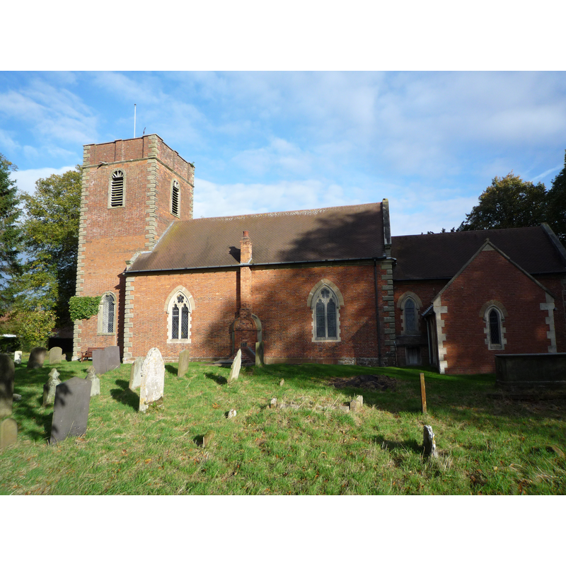
Image copyright © Oosoom, 2008
CC-BY-SA-2.0
Results: 1 records
view of church exterior - south view
Copyright Statement: Image copyright © Oosoom, 2008
Image Source: digital photograph taken 11 October 2008 by Oosoom [http://commons.wikimedia.org/wiki/File:Barston_church.jpg] [accessed 1 Ddecember 2014]
Copyright Instructions: CC-BY-SA-2.0
INFORMATION
Font ID: 19544BAR
Object Type: Baptismal Font1?
Font Century and Period/Style: Medieval
Church / Chapel Name: Parish Church of St. Swithin
Church Patron Saint(s): St. Swithun [aka Swithin]
Church Address: Barston Lane, Barston, Solihull B92 0JS
Site Location: Warwickshire, West Midlands, England, United Kingdom
Directions to Site: Located 10 km E of Solihull
Ecclesiastic Region: Diocese of Birmingham
Historical Region: Hundred of Coleshill [in Domesday] -- Hundred of Hemlingford
Additional Comments: dissappeared font? (the one from the medieval church here)
Font Notes:
Click to view
There are three entries for Barston [variant spelling] in the Domesday survey [http://domesdaymap.co.uk/place/SP2078/barston/] [accessed 1 December 2014], none of which mentions cleric or church in it. The Victoria County History (Warwick, vol. 4, 1947) notes: "Barston was a chapelry of Berkswell [...] until 1894 [...]", and reports the re-building of the church in 1721, with later modifications; the VCH (ibid.) adds: "In the churchyard is a medieval cross retaining part of the shaft, a square base, and two octagonal steps. [...] The registers date from 1598. [...] fittings are modern". English Heritage [List entry Number: 1075964 ] (1961) reports: "Village church on the site of a medieval church. Rebuilt 1721 in a classical style, following a severe fire. It was Gothicised in the late 1890s (reopened 1900) including some refenestration, and the vestry and north porch were added. In addition some minor re-ordering in 1980. [...] The polygonal timber pulpit and a mid-C19 font are both designed by Dudley Male of Birmingham. The font has a stone bowl decorated with sunk quatrefoils on a stem decorated with trefoil-headed arches."
COORDINATES
UTM: 30U 588685 5806273
Latitude & Longitude (Decimal): 52.3995, -1.6965
Latitude & Longitude (DMS): 52° 23′ 58.2″ N, 1° 41′ 47.4″ W
REFERENCES
- Victoria County History [online], University of London, 1993-. URL: https://www.british-history.ac.uk.