Austrey / Aldvlvestrev / Aldusvestrev
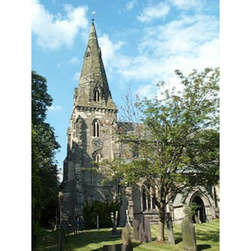
Image copyright © Geoff Pick, 2003
CC-BY-SA-2.0
Results: 1 records
view of church exterior - southwest end
Copyright Statement: Image copyright © Geoff Pick, 2003
Image Source: digital photograph taken 4 May 2003 by Geoff Pick [www.geograph.org.uk/photo/118988] [accessed 28 November 2014]
Copyright Instructions: CC-BY-SA-2.0
INFORMATION
Font ID: 19536AUS
Object Type: Baptismal Font1
Font Century and Period/Style: 11th century, Pre-Conquest? / Norman
Church / Chapel Name: Parish Church of St. Nicholas
Church Patron Saint(s): St. Nicholas of Myra
Church Address: Church Lane, Austrey, Warwickshire CV9 3EE
Site Location: Warwickshire, West Midlands, England, United Kingdom
Directions to Site: Located 8 km NW of Polesworth
Ecclesiastic Region: Diocese of Coventry
Historical Region: Hundred of Coleshill [in Domesday] -- Hundred of Hemlingford
Additional Comments: disappeared font? (the one from the Domesday-time church here)
Font Notes:
Click to view
There are three entries for Austrey [variant spelling] in the Domesday book [http://domesdaymap.co.uk/place/SK2906/austrey/] [accessed 28 November 2014]; the part in the tenancy of Nigel of Aubigny in 1086 reports a priest in it, but does not mention a church, though there probably was one there. The Victoria County History (Warwick, vol. 4, 1947) notes: "In about 1155 Hugh son of Richard of Hatton, with the approval of Margaret his wife and of his sons William and Richard, gave the church of Austrey to the Priory of St. Mary of Monmouth (a cell of St. Florent, Saumur), of which his stepson Robert was prior. [...] The tower dates from the 13th century. The remainder was rebuilt and enlarged c. 1330 and is a good example of the best architecture of this period, graceful and well proportioned and with typical mouldings but few carvings. In 1844 the chancel was refaced externally with new stonework and the windows restored. The south porch is of that date, but there was an earlier porch. [...] The font has an octagonal bowl, plain stem and base. It may be of the 15th century, but looks modern."
COORDINATES
UTM: 30U 597043 5834907
Latitude & Longitude (Decimal): 52.65543, -1.565337
Latitude & Longitude (DMS): 52° 39′ 19.55″ N, 1° 33′ 55.21″ W
REFERENCES
- Victoria County History [online], University of London, 1993-. URL: https://www.british-history.ac.uk.