Sambourne / Smbourn / Sandburne
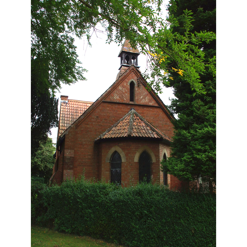
Image copyright © Argrogan, 2009
CC-BY-SA-2.0
Results: 1 records
view of church exterior - east view
Scene Description: Source caption: "Sambourne Warwickshire Chapel of Ease". -- The new chapel
Copyright Statement: Image copyright © Argrogan, 2009
Image Source: digital photograph taken 21 July 2009 by Argrogan [http://commons.wikimedia.org/wiki/File:Samborne_001.jpg] [accessed 20 November 2014]
Copyright Instructions: CC-BY-SA-2.0
INFORMATION
Font ID: 19524SAM
Object Type: Baptismal Font1
Font Century and Period/Style: 15th - 16th century, Pre-Reformation
Church / Chapel Name: Chapel of St. Andrew [disappeared]
Church Patron Saint(s): St. Andrew
Site Location: Warwickshire, West Midlands, England, United Kingdom
Directions to Site: Located 2-3 km NW of Coughton, 20 km from Startford-upon-Avon
Historical Region: Hundred of Ferncombe [in Domesday times] -- Hundred of Barlichway
Additional Comments: disappeared font? (was there one in the pre-Reformation chapel?)
Font Notes:
Click to view
There is an entry for Sambourne [variant spelling] in the Domesday survey [http://domesdaymap.co.uk/place/SP0561/sambourne/] [accessed 20 November 2014], but it mentions neither cleric nor church in it. The Victoria County History (Warwick, vol. 3, 1945) notes: "Sambourne forms part of the ecclesiastical parish of Coughton, though it has been a separate civil parish at least since the 17th century. [...] Before the Reformation there was a chapel of St. Andrew here, in which one of the canons of Studley celebrated Mass thrice a week. [...] There is a chapel-of-ease with a graveyard, built in 1892 and served by the vicar of Coughton." [NB: not clear whether other parochial services were provided in the old chapel here].
COORDINATES
UTM: 30U 574078 5790408
Latitude & Longitude (Decimal): 52.25907, -1.91465
Latitude & Longitude (DMS): 52° 15′ 32.65″ N, 1° 54′ 52.74″ W
REFERENCES
- Victoria County History [online], University of London, 1993-. URL: https://www.british-history.ac.uk.