Bidford / Bedeford / Bidford-on-Avon
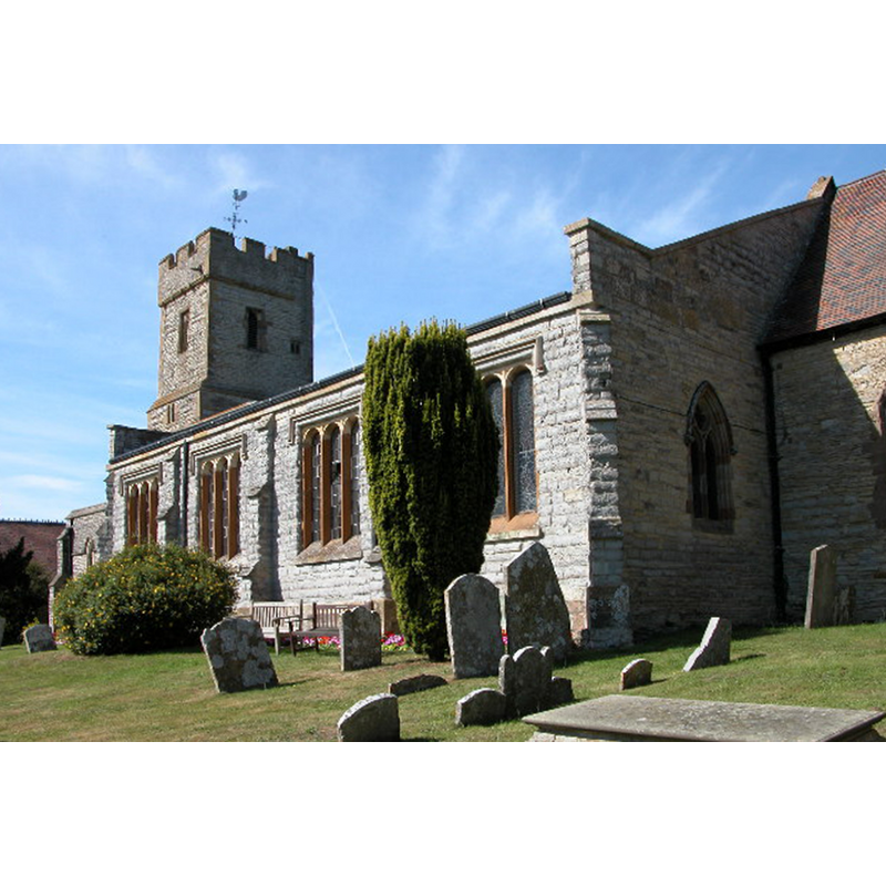
Image copyright © Philip Halling, 2005
CC-BY-SA-2.0
Results: 1 records
view of church exterior - southeast view
Copyright Statement: Image copyright © Philip Halling, 2005
Image Source: digital photograph taken 21 August 2005 by Philip Halling [www.geograph.org.uk/photo/41329] [accessed 19 November 2014]
Copyright Instructions: CC-BY-SA-2.0
INFORMATION
Font ID: 19520BID
Object Type: Baptismal Font1?
Font Century and Period/Style: 12th century, Late Norman
Church / Chapel Name: Parish Church of St. Lawrence [aka St. Laurence]
Church Patron Saint(s): St. Lawrence [aka Laurence]
Church Address: 11 Church Street, Bidford-on-Avon, Warwickshire B50 4DA
Site Location: Warwickshire, West Midlands, England, United Kingdom
Directions to Site: Located 12 km S of Stratford-upon-Avon
Ecclesiastic Region: Diocese of Coventry
Historical Region: Hundred of Ferncombe [in Domesday times] -- Hundred of Barlichway
Additional Comments: disappeared font? (the one from the 12thC church here)
Font Notes:
Click to view
There are two entries for Bidford [on-Avon] [variant spelling] in the Domesday survey [http://domesdaymap.co.uk/place/SP1051/bidford-on-avon/] [accessed 19 November 2014], neither of which mentions cleric or church in it. The Victoria County History (Warwick, vol. 3, 1945) notes: "No priest is mentioned in Bidford in the Domesday Survey and if there was a church here then, it was probably a chapelry of Salford. It appears as such in Henry I's time when Bernard, the first Prior of Kenilworth (1122–30), successfully claimed it for his house as involved in the grant of Salford Church made in the foundation charter [...] The chancel, west end of the nave, and west tower date from about 1250. The nave was long and narrow and may (in part) have been on the lines of an earlier nave, but no 12th-century details remain. [...] The font is modern."
COORDINATES
UTM: 30U 578410 5779951
Latitude & Longitude (Decimal): 52.164469, -1.853611
Latitude & Longitude (DMS): 52° 9′ 52.09″ N, 1° 51′ 13″ W
REFERENCES
- Victoria County History [online], University of London, 1993-. URL: https://www.british-history.ac.uk.